Garland in Dallas County, Texas — The American South (West South Central)
Garland
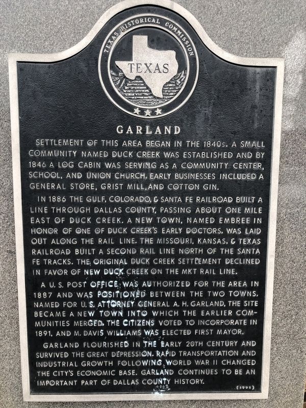
Settlement of this area began in the 1840s. A small community named Duck Creek was established and by 1846 a log cabin was serving as a community center, school, and Union Church. Early businesses included a general store, grist mill, and cotton gin.
In 1886 The Gulf, Colorado, & Santa Fe Railroad built a line through Dallas County, passing about one mile east of Duck Creek. A new town, named Embree in honor of one of Duck Creek's early doctors, was laid out along the rail line.
A U.S. Post Office was authorized for the area in 1887 and was positioned between the two towns. Named for U.S. Attorney General A. H. Garland, the site became a new town into which the earlier communities merged. The citizens voted to incorporate in 1891, and M. Davis Williams was elected first mayor.
Garland flourished in the early 20th century and survived the Great Depression. Rapid transportation and industrial growth following World War II changed the city's economic base. Garland continues to be an important part of Dallas County history.
Erected 1991 by Texas Historical Commission. (Marker Number 6721.)
Topics. This historical marker is listed in these topic lists: Industry & Commerce • Railroads & Streetcars • Settlements & Settlers • War, World II. A significant historical year for this entry is 1840.
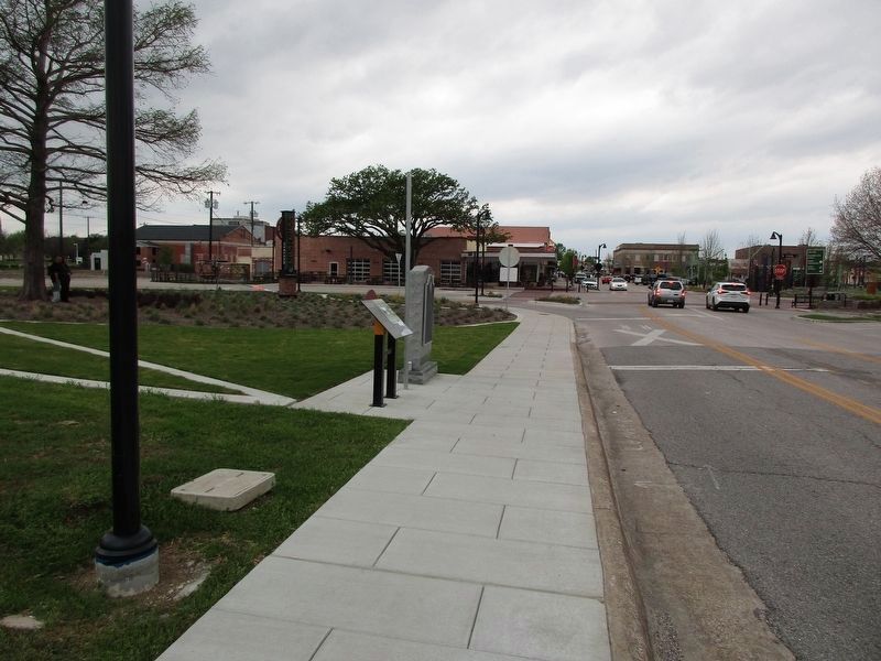
Location. 32° 54.755′ N, 96° 38.157′ W. Marker is in Garland, Texas, in Dallas County. Marker is on Main Street near 5th Street. Touch for map. Marker is at or near this postal address: 400 Main St, Garland TX 75040, United States of America. Touch for directions.
Other nearby markers. At least 8 other markers are within walking distance of this marker. Roach Feed & Seed Co. (within shouting distance of this marker); A. J. Head Service Station (within shouting distance of this marker); Santa Fe Railroad Depot (approx. ¼ mile away); First Christian Church of Garland (approx. ¼ mile away); First Methodist Church of Garland (approx. 0.3 miles away); Public Education in Garland (approx. 0.3 miles away); Garland Lodge No. 441, A.F. & A.M. (approx. 0.4 miles away); First Presbyterian Church, USA (approx. 0.4 miles away). Touch for a list and map of all markers in Garland.
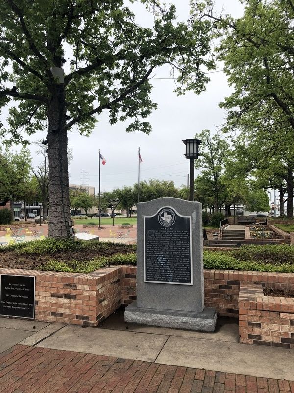
More about this marker. This marker was set in a prominent spot on the square next to the community time capsule in downtown Garland as part of the community's centennial in 1991.
Credits. This page was last revised on March 25, 2024. It was originally submitted on April 13, 2020, by J Frye of Fort Worth, Texas. This page has been viewed 255 times since then and 54 times this year. Last updated on March 24, 2024, by Jeff Leichsenring of Garland, Texas. Photos: 1, 2. submitted on April 13, 2020, by J Frye of Fort Worth, Texas. 3. submitted on March 24, 2024, by Jeff Leichsenring of Garland, Texas. • Devry Becker Jones was the editor who published this page.


