Burlington in Halton Region, Ontario — Central Canada (North America)
The Hamilton Radial Electric Railway
Burlington’s First Public Transit System
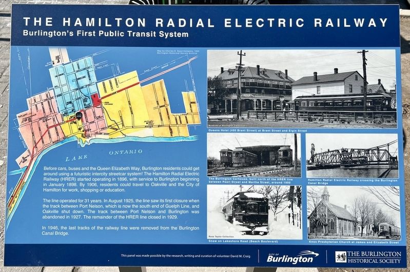
The line operated for 31 years. In August 1925, the line saw its first closure when the track between Port Nelson, which is now the south end of Guelph Line, and Oakville shut down. The track between Port Nelson and Burlington was abandoned in 1927. The remainder of the HRER line closed in 1929.
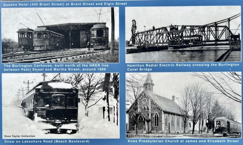
In 1946, the last tracks of the railway line were removed from the Burlington Canal Bridge.
Erected by City of Burlington, Burlington Historical Society.
Topics. This historical marker is listed in this topic list: Railroads & Streetcars. A significant historical year for this entry is 1896.
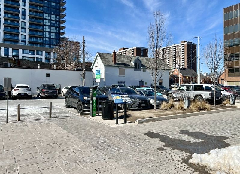
Location. 43° 19.55′ N, 79° 47.846′ W. Marker is in Burlington, Ontario, in Halton Region. Marker is at the intersection of Brant Street and Elgin Street, on the right when traveling north on Brant Street. The marker is in the parking lot in between Brant Avenue and John Street. Touch for map. Marker is at or near this postal address: 391 Brant Street, Burlington ON L7R 2E9, Canada. Touch for directions.
Other nearby markers. At least 8 other markers are within 3 kilometers of this marker, measured as the crow flies. The Founding of Burlington (about 120 meters away, measured in a direct line); Spencer Smith (approx. 0.4 kilometers away); Reverend Thomas Greene at St. Luke’s, Wellington Square (approx. half a kilometer away); The Brant Inn (approx. 0.7 kilometers away); Terry Fox Marathon of Hope (approx. 0.8 kilometers away); The Brant House (approx. 0.9 kilometers away); Freeman Station Signal Mast Dedication (approx. 1.8 kilometers away); Burlington Bay Canal/ Le Canal de la Baie de Burlington (approx. 3.1 kilometers away). Touch for a list and map of all markers in Burlington.
Also see . . . Trainweb.org - The Hamilton Radial Electric Railway (HRER).
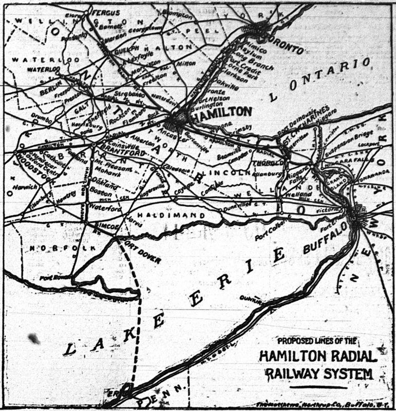
The Hamilton Radial Electric Railway was first announced on September 20, 1892. The originally announced plan was to run electric lines from Hamilton to Mount Forest (via Waterdown, Guelph, Fergus and Arthur) Elmira (via Dundas, Galt, Preston, Waterloo and St. Jacobs), Brantford (via Ancaster), Dunville and/or Welland, and Oakville (via the Beach and Burlington)(Submitted on March 24, 2024, by Tim Boyd of Hamilton, Ontario.)
Credits. This page was last revised on March 25, 2024. It was originally submitted on March 24, 2024, by Tim Boyd of Hamilton, Ontario. This page has been viewed 42 times since then. Photos: 1, 2, 3, 4, 5. submitted on March 24, 2024, by Tim Boyd of Hamilton, Ontario. • Andrew Ruppenstein was the editor who published this page.
