Natchez in Adams County, Mississippi — The American South (East South Central)
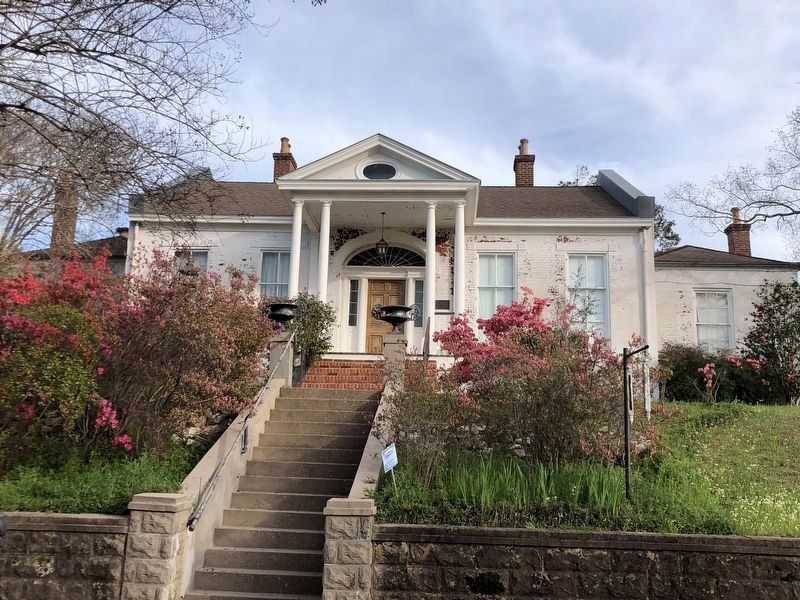
The Manse
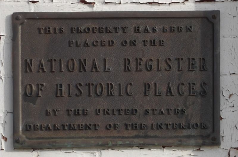
Topics and series. This historical marker is listed in these topic lists: Architecture • Churches & Religion. In addition, it is included in the National Register of Historic Places series list. A significant historical year for this entry is 1838.
Location. 31° 33.353′ N, 91° 24.153′ W. Marker is in Natchez, Mississippi, in Adams County. Marker is at the intersection of South Rankin Street and Orleans Street, on the left when traveling south on South Rankin Street. Touch for map. Marker is at or near this postal address: 307 S Rankin St, Natchez MS 39120, United States of America. Touch for directions.
Other nearby markers. At least 8 other markers are within walking distance of this marker. Green Leaves (within shouting distance of this marker); F.J. Arrighi House (within shouting distance of this marker); Intersection of Washington and South Rankin streets (about 300 feet away, measured in a direct line); Intersection of Washington and South Martin Luther King streets (about 400 feet away); Intersection of Washington and South Union streets (about 500 feet away); Lambert-Taylor House (about 700 feet away); Trinity Episcopal Church (approx. 0.2 miles away); Temple B'Nai Israel (approx. 0.2 miles away). Touch for a list and map of all markers in Natchez.
Regarding The Manse. Excerpt from the National Register nomination:
Thomas Macdannold, an obscure but wealthy man, purchased the lot on the northeast corner of Orleans and Rankin streets in 1832 from Margaret Overaker for $3,500. Four years later he sold the property, “designated as the residence of said Thomas Macdannold,” to Thomas Henderson, an elder in the First Presbyterian Church, for $14,320.88. The increase in the value of the property, coupled with the transitional architectural styling of the house thereon, suggests that the residence was built for Macdannold. The First Presbyterian Church acquired it as its second manse in 1838. Despite the changes necessitated by housing a dozen different ministers and their families, the Manse and its study maintain a remarkable degree of integrity.
Also see . . .
1. The Manse (PDF). National Register nomination for the property, which was listed in 1979. (Prepared by Mary McCahon; via Mississippi Department of Archives and History) (Submitted on March 26, 2024, by Duane and Tracy Marsteller of Murfreesboro, Tennessee.)
2. The Manse. Wikipedia entry on the property, also known as Presbyterian Manse because of the First Presbyterian Church's continuous use of the house as its pastor's living quarters since 1838. (Submitted on March 26, 2024, by Duane and Tracy Marsteller of Murfreesboro, Tennessee.)
Credits. This page was last revised on March 26, 2024. It was originally submitted on March 26, 2024, by Duane and Tracy Marsteller of Murfreesboro, Tennessee. This page has been viewed 47 times since then. Photos: 1, 2. submitted on March 26, 2024, by Duane and Tracy Marsteller of Murfreesboro, Tennessee.

