Bay-Cloverhill in Toronto, Ontario — Central Canada (North America)
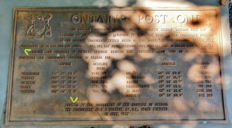
Ontario Post One
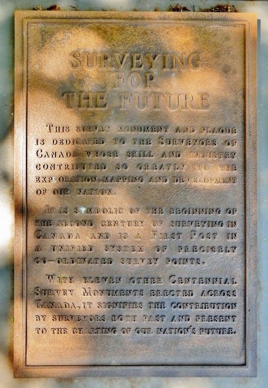
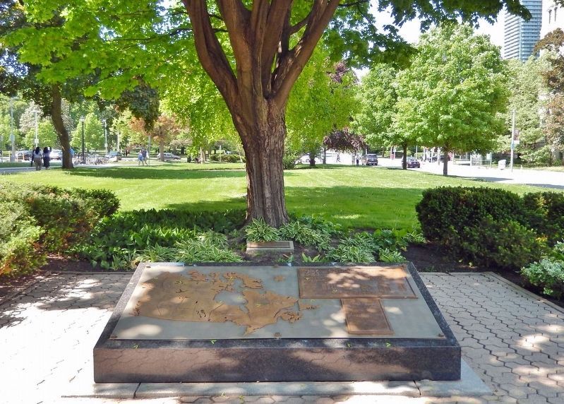
Surveying for the Future
Azimuth and distance to similar stations erected this Centennial Year 1967 in other national, provincial and territorial capitals of Canada are:
Whitehorse 317° 25’ 43.5” (azimuth) 2542.392 (miles)
Victoria 294° 36’ 50.5” 2110.738
Edmonton 305° 55’ 19.0” 1685.158
Regina 300° 26’ 22.0” 1271.991
Winnipeg 303° 20’ 12.8” 942.912
Quebec 58° 33’ 29.8” 453.989
Fredericton 71° 21’ 16.1” 645.814
Halifax 79° 33’ 39.9” 787.927
Charlottetown 71° 46’ 53.5” 814.162
St. John’s 68° 45’ 36.6” 1313.358
Ottawa 54° 54’ 20.0” 219.189
The Honourable John P. Robarts, P.C., Q.C., Prime Minister
21 June, 1967
Surveying for the Future
It is symbolic of the beginning of the second century of surveying in Canada and is a First Post in a unified system of precisely coordinated survey points.
With eleven other Centennial Survey Monuments erected across Canada, it signifies the contribution by surveyors both past and present to the charting of our Nation’s future.
Erected 1967 by The Government of the Province of Ontario.
Topics. This historical marker is listed in this topic list: Exploration.
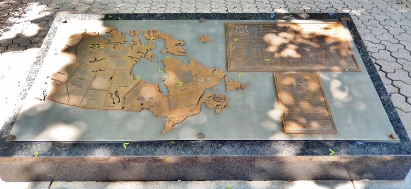
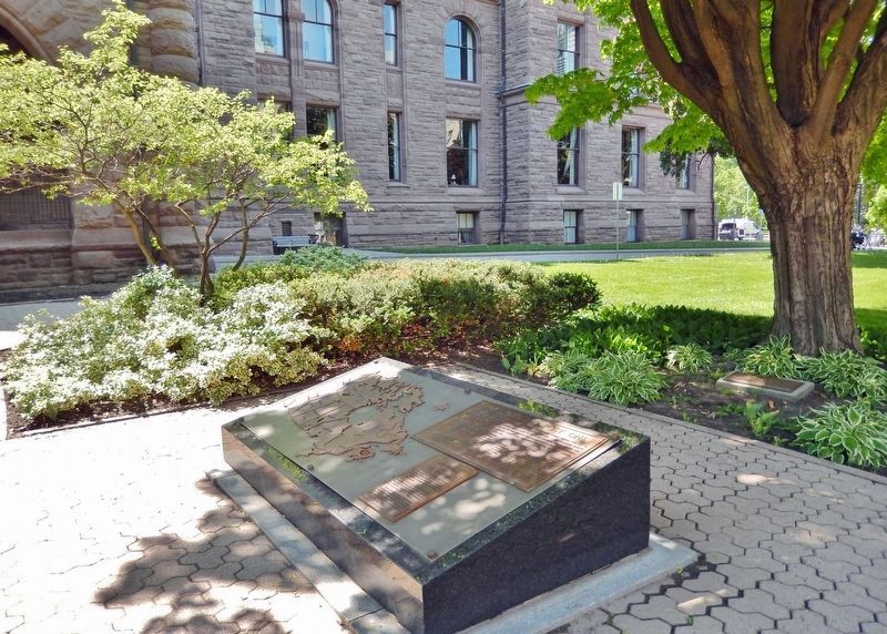
Location. 43° 39.761′ N, 79° 23.435′ W. Marker is in Toronto, Ontario. It is in Bay-Cloverhill. Marker can be reached from Queen's Park Crescent East just north of Grosvenor Street, on the left when traveling north. The marker is mounted at ground-level along the walkway on the east side of the Ontario Legislative Assembly building. Touch for map. Marker is at or near this postal address: 111 Wellesley Street West, Toronto ON M7A 1A8, Canada. Touch for directions.
Other nearby markers. At least 8 other markers are within walking distance of this marker. This Maple Tree (here, next to this marker); King's College (within shouting distance of this marker); Ontario Human Rights Code / Code des droits de la personne de l'Ontario (within shouting distance of this marker); Hon. John Sandfield Macdonald (within shouting distance of this marker); Lieutenant-General John Graves Simcoe (within shouting distance of this marker); Queen Victoria (within shouting distance of this marker); Sir James Pliny Whitney (about 120 meters away, measured in a direct line); The Printers' Strike of 1872 / La Grève des Typographes de 1872 (about 120 meters away). Touch for a list and map of all markers in Toronto.
Also see . . . Canada's 1967 Centennial Year Survey Monuments (pdf). Excerpt:
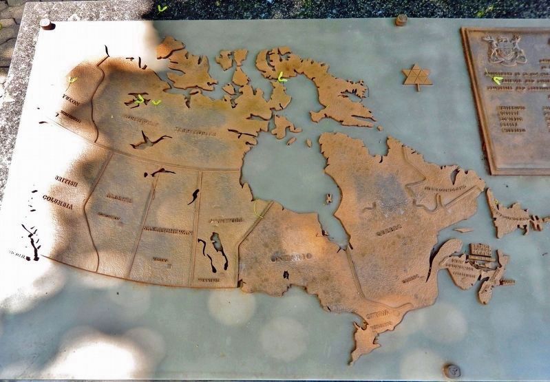
This monument was part of a national project in Canada’s 1967 Centennial year to honour the contribution of the surveying profession to the exploration and development of the country. Centennial survey monuments of different design were erected in all provincial capital cities and in Ottawa. What is unique to the Centennial monuments, differentiating them from other monuments, is their location. Each of the Centennial monuments was referenced with its exact location.(Submitted on March 28, 2024, by Cosmos Mariner of Cape Canaveral, Florida.)
Credits. This page was last revised on March 28, 2024. It was originally submitted on March 28, 2024, by Cosmos Mariner of Cape Canaveral, Florida. This page has been viewed 50 times since then. Photos: 1, 2, 3, 4, 5, 6. submitted on March 28, 2024, by Cosmos Mariner of Cape Canaveral, Florida.
