Thunder Bay in Thunder Bay District, Ontario — Central Canada (North America)
The Railway
The Economic Engine of the Lakehead
Wheat from the west, coal from the east. White pine from the woods, whitefish from the lakes. Barley and beef, iron and ice. From the 1880s to the mid-1900s, the railroad carried thousands of tons of freight a day in and out of this waterfront. Hundreds of people came and went, too. Conductor, carpenter, switchman, section man — all kinds of work and workers kept the trains and merchandise moving.
The Long-lost Train Station
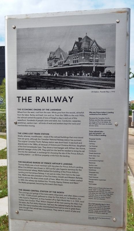
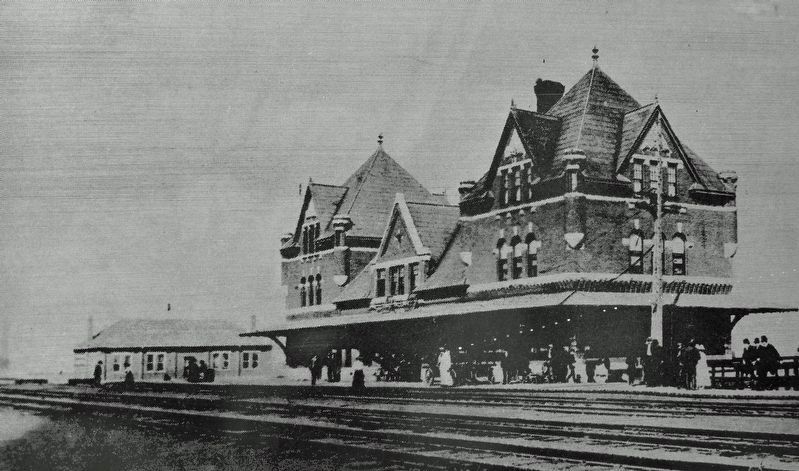
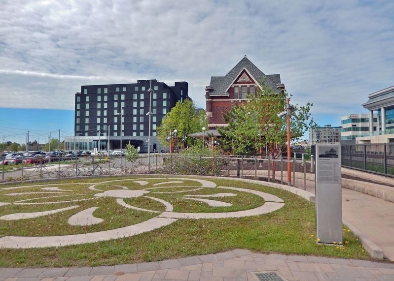
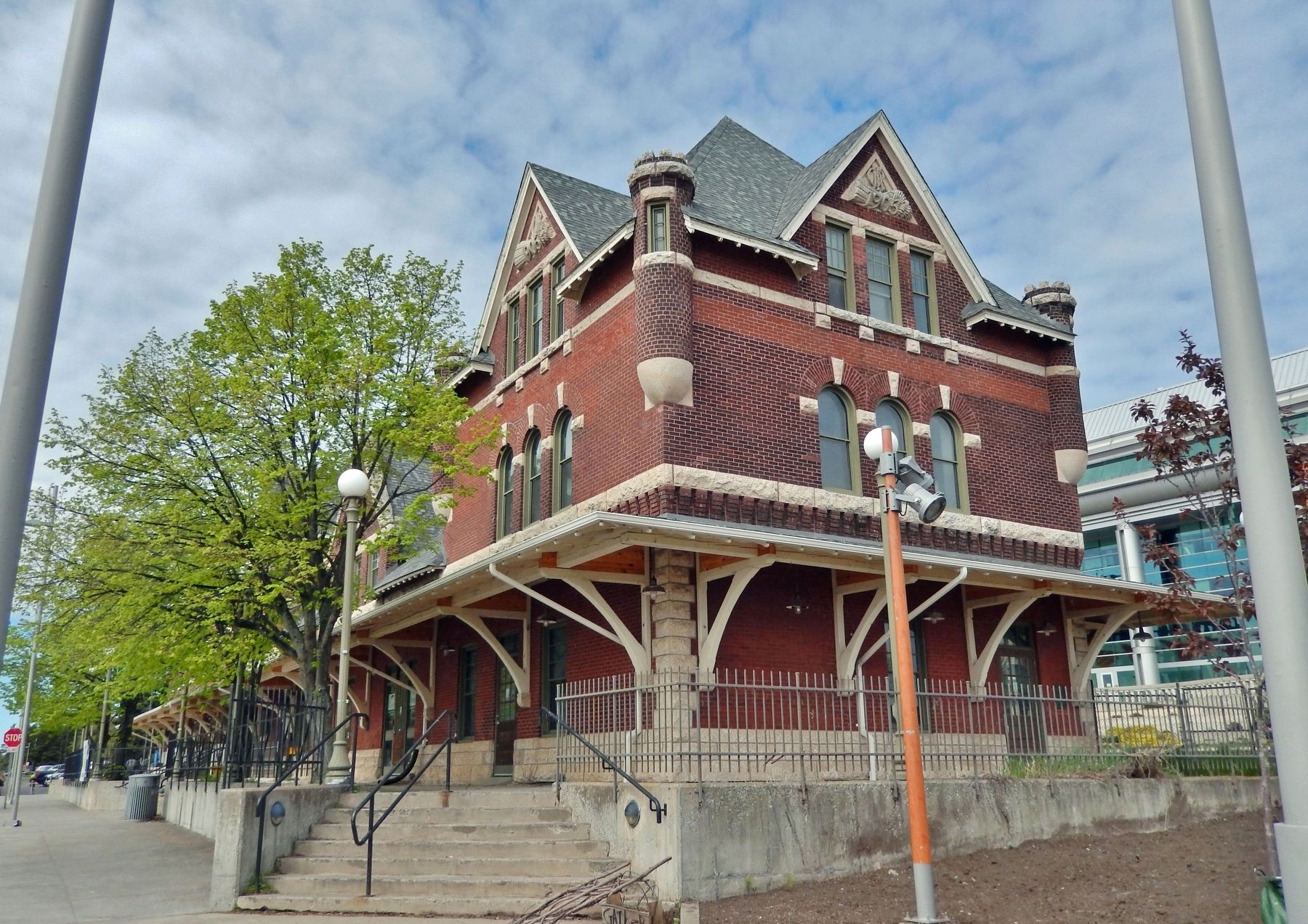
Sheds, wharves, roundhouses — most of the railroad buildings that once stood here are gone, although the Canadian National Railway station has survived. The original Canadian Pacific Railway station was short-lived. It was built and abandoned in the 1880s, all because of Victoria and Christina McVicar, daughters of the first homesteader here. They drove a hard bargain with William Van Horne, general manager of the CPR. They sold him the land he needed to bring his rail line into the Lakehead, in exchange for choosing the site of the Prince Arthur's Landing station — on McVicar property a mile from the landing.
The Railroad Baron of Prince Arthur’s Landing
Thomas Marks was a local merchant with big plans for Prince Arthur's Landing. When Fort William was chosen in 1875 as the Lake Superior terminus for the transcontinental railway, Marks backed the building of the Prince Arthur's Landing and Kamistiqua Railway. It ran just six miles, from here to the main line. Marks was also president of the Port Arthur, Duluth and Western Railway, built to service the silver mines south of here. When the silver market crashed in 1892, the railway was dubbed the “Poverty, Agony, Distress and Want.” But Marks prospered, becoming the town's first mayor.
The Grand Central Station of the North
The comings and goings of the trains were a big event, and often drew a crowd. In 1940, 15,000 people gathered to cheer for Port Arthur's 1st Battalion, the Lake Superior Regiment, as they headed off to fight World War II. In 1929, local hockey hero Gordon 'Phat' Wilson stepped off the train waving the Allan Cup. His team, the Port Arthur Bearcats, had won the national trophy for the third time. But many travelers who disembarked here had no-one to greet them, even though their arrival was momentous. They came in search of jobs and farms and futures.
Why was Prince Arthur's Landing renamed as Port Arthur?
Because the Canadian Pacific Railway said the first name was too long to fit on its tickets. So, the CPR gave the town its newer, shorter name.
Some railroad jobs — past and present — at Prince Arthur's Landing
Baggage handlerWhile many of these jobs have the word "man" in the title, women worked for the railroad, too, and not only when the men were away fighting wars. Even in the early 1900s, women served as clerks, engine wipers, and car cleaners.
Brakeman
Call boy
Car foreman
Carpenter
Conductor
Diesel electrician
Grain door man
Key man
Locomotive engineer
Machinist Section man
Signal maintainer
Switchman
Telegraph boy
Ticket clerk
Track foreman
Transportation supervisor
Welder
Yard master
On a full-capacity day in 1917, 600 rail cars trundled down the tracks to the sheds by the water. It took two shifts of workers to elevate, weigh and bin the 1,000 bushels of wheat in each car.
Topics. This historical marker is listed in these topic lists: Industry & Commerce • Railroads & Streetcars • Settlements & Settlers • War, World II. A significant historical date for this entry is June 1, 1875.
Location. 48° 26.047′ N, 89° 13.058′ W. Marker is in Thunder Bay, Ontario, in Thunder Bay District. Marker can be reached from Sleeping Giant Parkway, 0.4 kilometers north of Pearl Street, on the left when traveling north. The marker is located in the elevated plaza on the north side of the historic Canadian Northern Railway Station. Touch for map. Marker is at or near this postal address: 2200 Sleeping Giant Parkway, Thunder Bay ON P7A 0E7, Canada. Touch for directions.
Other nearby markers. At least 8 other markers are within walking distance of this marker. Port Arthur (here, next to this marker); Red River Road (a few steps from this marker); Canadian Northern Railway Station (within shouting distance of this marker); Thunder Bay Tourist Pagoda (within shouting distance of this marker); The Tourist Pagoda (within shouting distance of this marker); Port Arthur and its Harbour (within shouting distance of this marker); Canadian Navy (about 90 meters away, measured in a direct line); Industry (about 120 meters away). Touch for a list and map of all markers in Thunder Bay.
Also see . . . Canadian Pacific Railway (Thunder Bay Museum). Excerpt:
The Canadian Pacific Railway was a fragile band of steel designed to bind the far-flung territories of Canada into a nation. The historic first sod on the main line was turned four miles west of Fort William on June 1, 1875 in what is now part of the City of Thunder Bay. That simple ceremony signaled the start of a herculean task beset with monumental obstacles.(Submitted on March 30, 2024, by Cosmos Mariner of Cape Canaveral, Florida.)
Credits. This page was last revised on March 30, 2024. It was originally submitted on March 28, 2024, by Cosmos Mariner of Cape Canaveral, Florida. This page has been viewed 39 times since then. Photos: 1, 2, 3, 4, 5. submitted on March 30, 2024, by Cosmos Mariner of Cape Canaveral, Florida.
