Fayetteville in Cumberland County, North Carolina — The American South (South Atlantic)
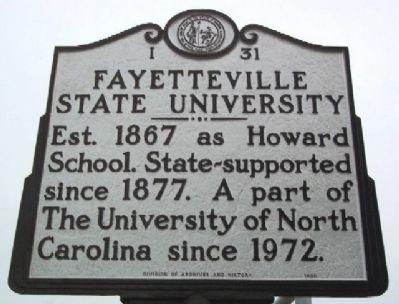
Fayetteville State University
Erected 1950 by Division of Archives and History. (Marker Number I-31.)
Topics and series. This historical marker is listed in these topic lists: African Americans • Education. In addition, it is included in the Historically Black Colleges and Universities, and the North Carolina Division of Archives and History series lists. A significant historical year for this entry is 1867.
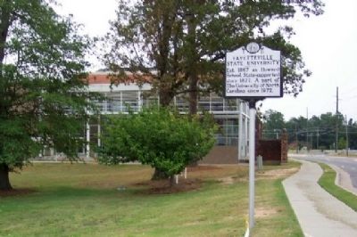
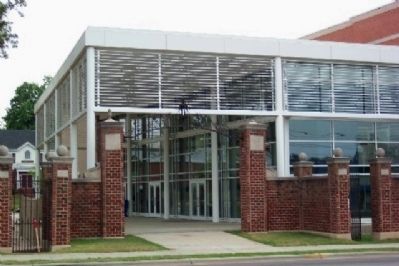
Location. 35° 4.271′ N, 78° 53.652′ W. Marker is in Fayetteville, North Carolina, in Cumberland County. Marker is at the intersection of Murchison Road (State Highway 210) and Coley Drive, on the left when traveling south on Murchison Road. Touch for map. Marker is at or near this postal address: 1200 Murchison Road, Fayetteville NC 28301, United States of America. Touch for directions.
Other nearby markers. At least 8 other markers are within 2 miles of this marker, measured as the crow flies. Hiram R. Revels (approx. half a mile away); Frank P. Graham (approx. 0.9 miles away); U.S. Arsenal (approx. 1.1 miles away); Currahee Rocks (approx. 1.1 miles away); Edward J. Hale House (approx. 1.1 miles away); Fayetteville Arsenal (approx. 1.1 miles away); North Carolina (approx. 1.1 miles away); The "Ghost" Tower (approx. 1.1 miles away). Touch for a list and map of all markers in Fayetteville.
Credits. This page was last revised on June 24, 2021. It was originally submitted on November 11, 2009, by William Fischer, Jr. of Scranton, Pennsylvania. This page has been viewed 1,173 times since then and 86 times this year. Photos: 1, 2, 3. submitted on November 11, 2009, by William Fischer, Jr. of Scranton, Pennsylvania.


