Ashland in Jackson County, Oregon — The American West (Northwest)
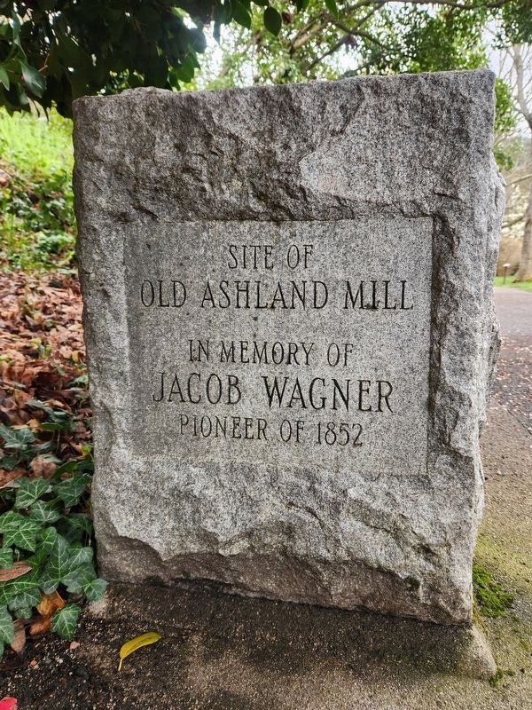
Site of Old Ashland Mill
Jacob Wagner
Pioneer of 1852
Topics. This historical marker is listed in these topic lists: Industry & Commerce • Settlements & Settlers. A significant historical year for this entry is 1852.
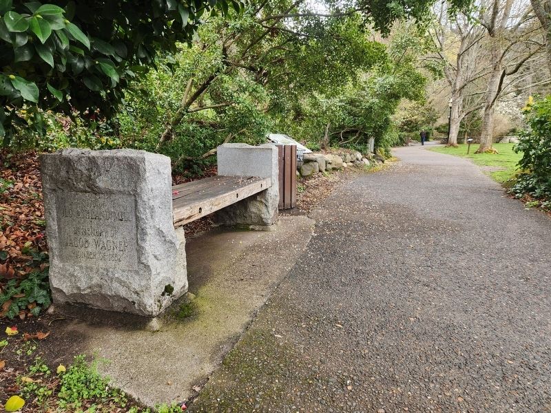
Location. 42° 11.788′ N, 122° 42.933′ W. Marker is in Ashland, Oregon, in Jackson County. Marker can be reached from Winburn Way just south of North Main Street, on the left when traveling south. Touch for map. Marker is at or near this postal address: 10 Winburn Way, Ashland OR 97520, United States of America. Touch for directions.
Other nearby markers. At least 8 other markers are within walking distance of this marker. Welcome to Lithia Park (here, next to this marker); Ashland Lithia Water (within shouting distance of this marker); Ashland Creek (about 500 feet away, measured in a direct line); The Whittle Garage (about 500 feet away); McCall Magnolia (about 700 feet away); Citizens Banking and Trust Company (approx. 0.2 miles away); Enders Building No. 1, 1914 (approx. 0.2 miles away); Applegate Trail - Ashland Creek (approx. 0.4 miles away). Touch for a list and map of all markers in Ashland.
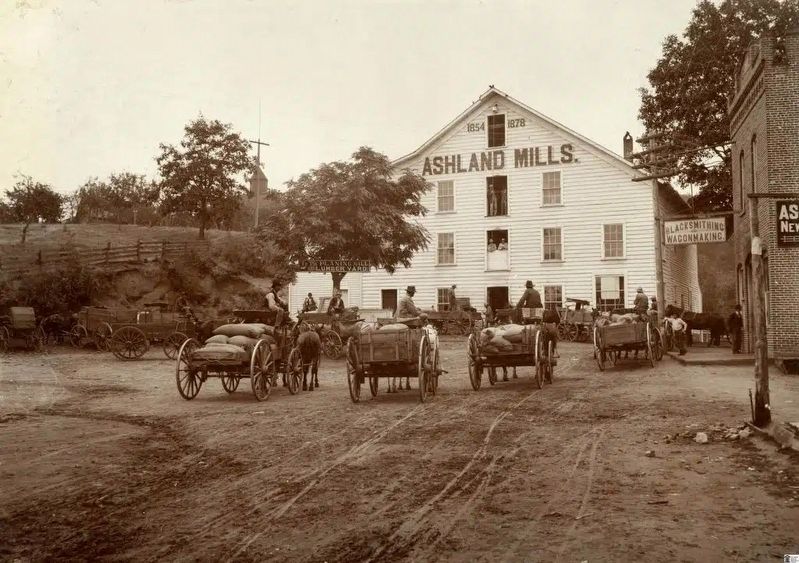
More about this marker. The stone bench's text refers to a flour mill that was built in 1854 at this site (and not to be confused with a lumber mill erected a short distance south in 1852). The flour mill was renovated in 1878 and burned to the ground in a fire in 1900 and was never rebuilt.
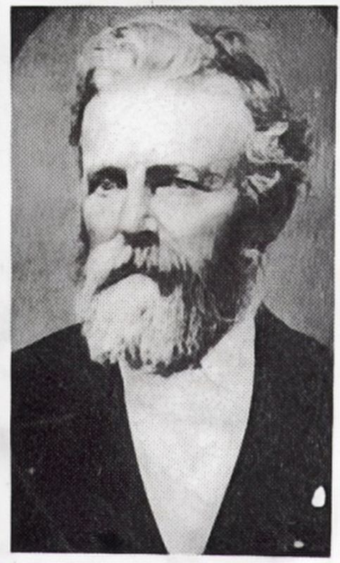
Jacob Wagner was one of the first settlers to the Rogue Valley. In the spring of 1852, Wagner filed a 160-acre Donation Land Claim along the banks of the creek that would soon bear his name 'Wagner Creek.' On this tract of land, lying about five miles north of Ashland, near the site of the present-day Talent, he was successfully engaged in farming and stock-raising. The site was also used as a temporary fortress (known as Fort Wagner) to protect incoming settlers along the Applegate Trail from Indian attacks.
Related marker. Click here for another marker that is related to this marker.
Also see . . . Old Mill Site. Southern Oregon Historical Society
According to Wikipedia, the site of this stone bench marks the location of the old flour mill established by Abel Helman and Eber Emery in 1852. This was the first building in Ashland, which was then known as Ashland Mills. The inscription on the bench dedicates it to the memory of Jacob Wagner, who was also a local pioneer of the same year.(Submitted on April 4, 2024, by Douglass Halvorsen of Klamath Falls, Oregon.)
Across the path is a plaque mounted on a stone that recognizes the women of the Chautauqua Club and the Women's Civic Improvement Club who were instrumental in founding Lithia Park in 1908. As you enter the park there is a plaque on a stone to the right, commemorating the founders of Lithia Park.
Credits. This page was last revised on April 5, 2024. It was originally submitted on April 2, 2024, by Douglass Halvorsen of Klamath Falls, Oregon. This page has been viewed 39 times since then. Photos: 1, 2, 3, 4. submitted on April 2, 2024, by Douglass Halvorsen of Klamath Falls, Oregon. • Devry Becker Jones was the editor who published this page.


