Anaheim Hills in Orange County, California — The American West (Pacific Coastal)
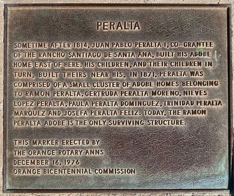
Peralta
Erected 1976 by The Orange Rotary Anns, Orange Bicentennial Commission.
Topics. This historical marker is listed in this topic list: Settlements & Settlers. A significant historical year for this entry is 1814.
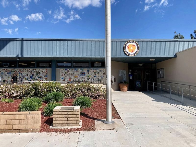
Location. 33° 50.704′ N, 117° 47.376′ W. Marker is in Anaheim, California, in Orange County. It is in Anaheim Hills. Marker can be reached from Imperial Highway north of Nohl Ranch Road, on the right when traveling north. Located at Imperial Elementary School. Touch for map. Marker is at or near this postal address: 400 S Imperial Hwy, Anaheim CA 92807, United States of America. Touch for directions.
Other nearby markers. At least 8 other markers are within 3 miles of this marker, measured as the crow flies. This Boulder (approx. half a mile away); Peralta Adobe (approx. 1.4 miles away); Yorba Cemetery (approx. 1.4 miles away); History Speaks Softly (approx. 1.4 miles away); Site of Don Bernardo Yorba Hacienda (approx. 1.4 miles away); Roland E. Bigonger (approx. 1.9 miles away); Submerged Dam (approx. 2 miles away); Grijalva Adobe Site (approx. 2.8 miles away). Touch for a list and map of all markers in Anaheim.
Also see . . . Orange Bicentennial Markers. During the United States Bicentennial celebration (1975-77) the Orange Bicentennial Commission placed more than two dozen historical plaques. Most of the plaques were placed at schools within the Orange Unified School District; which is not surprising, since the chairman of the commission was Gene Beyer, an OUSD junior high school principal (and future Mayor of Orange). (Submitted on April 2, 2024.)
Credits. This page was last revised on April 2, 2024. It was originally submitted on April 2, 2024, by Craig Baker of Sylmar, California. This page has been viewed 45 times since then. Photos: 1, 2. submitted on April 2, 2024, by Craig Baker of Sylmar, California.

