Washington in Adams County, Mississippi — The American South (East South Central)
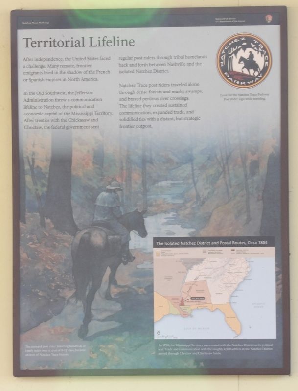
Territorial Lifeline
In the Old Southwest, the Jefferson Administration threw a communication lifeline to Natchez, the political and economic capital of the Mississippi Territory. After treaties with the Chickasaw and Choctaw, the federal government sent regular post riders through tribal homelands back and forth between Nashville and the isolated Natchez District.
Natchez Trace post riders traveled alone through dense forests and murky swamps, and braved perilous river crossings. The lifeline they created sustained communication, expanded trade, and solidified ties with a distant, but strategic frontier outpost.
[Captions]
(Map inset) In 1798, the Mississippi Territory was created with the Natchez District as its political seat. Trade and communication with the roughly 4,500 settlers in the Natchez District passed through Choctaw ad Chickasaw lands.
(Background) The intrepid post rider, traveling hundreds of lonely miles over a span of 8-12 days, became an icon of Natchez Trace history.
Erected by National Park Service.
Topics. This historical marker is listed in these topic lists: Communications • Settlements & Settlers. A significant historical year for this entry is 1798.
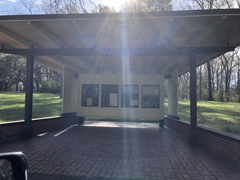
Location. 31° 36.9′ N, 91° 15.417′ W. Marker is in Washington, Mississippi, in Adams County. Marker is in the Old Trace Exhibit Shelter on Natchez Trace Parkway. Touch for map. Marker is at or near this postal address: 73 Natchez Trace Pkwy, Washington MS 39190, United States of America. Touch for directions.
Other nearby markers. At least 8 other markers are within 2 miles of this marker, measured as the crow flies. The Hard Trip Home (here, next to this marker); Old Trace (a few steps from this marker); Natchez Trace (approx. 0.7 miles away); A Remarkable Feat (approx. 1˝ miles away); A Well-Organized Society (approx. 1˝ miles away); Still Sacred (approx. 1˝ miles away); Emerald Mound (approx. 1˝ miles away); a different marker also named Emerald Mound (approx. 1˝ miles away).
Credits. This page was last revised on April 2, 2024. It was originally submitted on April 2, 2024, by Duane and Tracy Marsteller of Murfreesboro, Tennessee. This page has been viewed 45 times since then. Photos: 1, 2. submitted on April 2, 2024, by Duane and Tracy Marsteller of Murfreesboro, Tennessee.

