Thunder Bay in Thunder Bay District, Ontario — Central Canada (North America)
City Hall
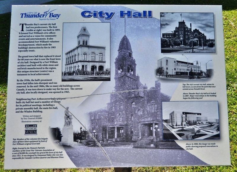
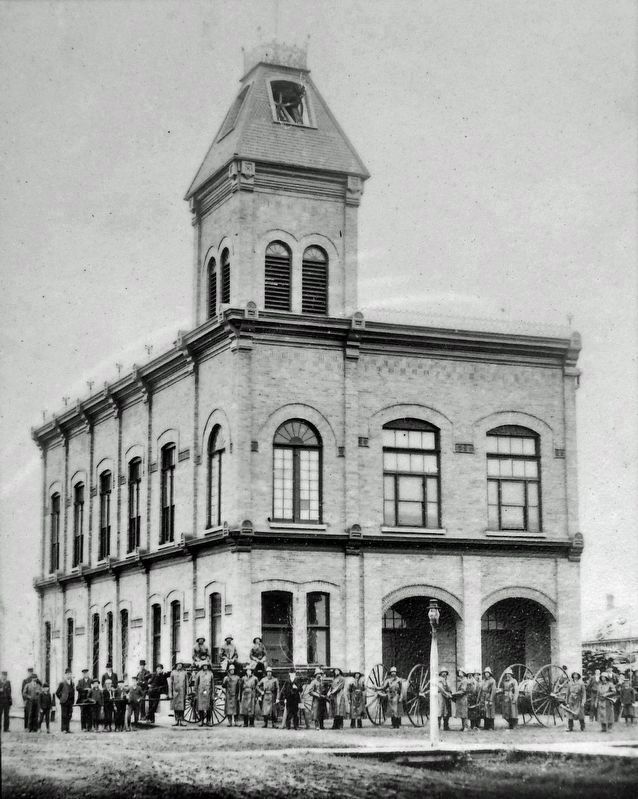
Thunder Bay's current city hall had two predecessors. The first (visible at right) was built in 1893. It housed Fort William's civic offices and served as a venue for community events and entertainments. It also accommodated Fort William's volunteer fire department, which made the building's destruction by fire in 1903 especially ironic.
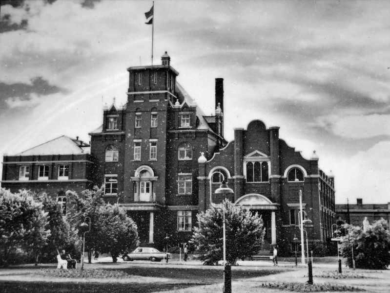
The grand town hall that replaced it stood for 60 years on what is now the front lawn of city hall. Designed by a Fort William architect and built with white stone and red brick manufactured in the region, this unique structure (centre) was a testament to local achievement.
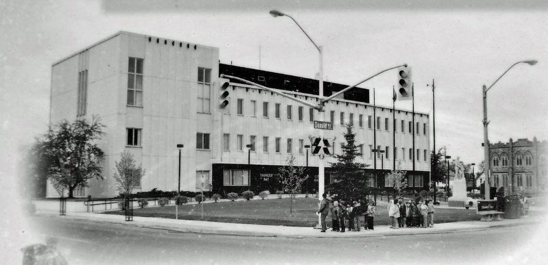
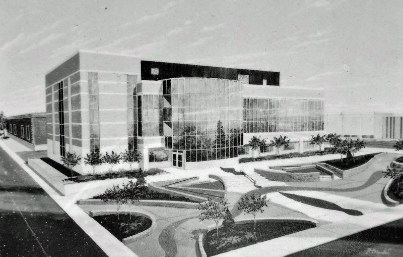
By the 1950s, the hall's prominent tower had fallen into disrepair and was removed. In the mid 1960s, like so many old buildings across Canada, it was torn down to make way for the new. The current city hall, also locally designed, was opened in 1965.
Neighbouring Port Arthur never had a purpose-built city hall but used a number of venues for its political meetings, including a private assembly hall, the main fire hall, and the Whalen Building.
[background photo caption] Erected by the Women's Patriotic Auxiliary of the Great War Veterans Association at a cost of $8,000 the cenotaph has graced the lawn of city hall since 1921. It was designed by Emmanuel Hahn who was also responsible for Canada's Caribou Quarter and Bluenose Dime.
Illustrations courtesy of
Thunder Bay Museum
Erected by City of Thunder Bay.
Topics. This historical marker is listed in these topic lists: Architecture • Charity & Public Work • Patriots & Patriotism. A significant historical year for this entry is 1893.
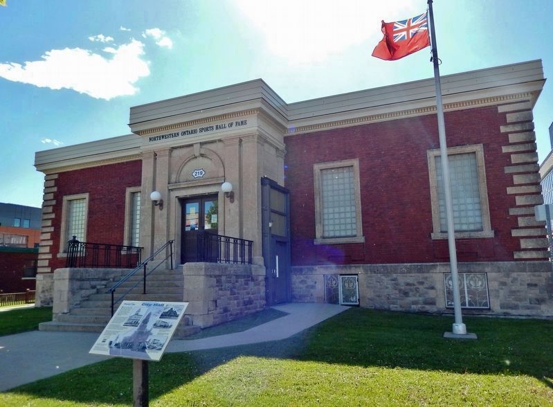
Location. 48° 22.91′ N, 89° 14.737′ W. Marker is in Thunder Bay, Ontario, in Thunder Bay District. Marker is on May Street South just south of Donald Street, on the right when traveling south. The marker is located beside the sidewalk, directly in front of the Northwestern Ontario Sports Hall of Fame. Touch for map. Marker is at or near this postal address: 219 May Street South, Thunder Bay ON P7E 1B5, Canada. Touch for directions.
Other nearby markers. At least 8 other markers are within walking distance of this marker. 10-Mile Road Race (here, next to this marker); William McGillivray (within shouting distance of this marker); Fort Kaministiquia 1717 (within shouting distance of this marker); Thunder Bay Public Library (within shouting distance of this marker); 425 Donald Street East (about 120 meters away, measured in a direct line); The Western Route of the C.P.R. (approx. 0.3 kilometers away); The Capture of Fort William
(approx. half a kilometer away); Fort William (approx. 1.1 kilometers away). Touch for a list and map of all markers in Thunder Bay.
Also see . . . Thunder Bay City Hall. Excerpt:
City Hall is open to the public for visitors to the city and also for schools and community groups. Tours are approximately 45 minutes and provide an overview of the building, the history of amalgamation and information about City Council and how municipalities function. The tour includes a visit to Council Chambers and learning about artifacts and assets on display in the building. There is no cost for tours but pre-booking is required to ensure staff and room availability.(Submitted on April 4, 2024, by Cosmos Mariner of Cape Canaveral, Florida.)
Credits. This page was last revised on April 4, 2024. It was originally submitted on April 3, 2024, by Cosmos Mariner of Cape Canaveral, Florida. This page has been viewed 48 times since then. Photos: 1, 2, 3, 4, 5, 6. submitted on April 4, 2024, by Cosmos Mariner of Cape Canaveral, Florida.
