Ashland in Jackson County, Oregon — The American West (Northwest)
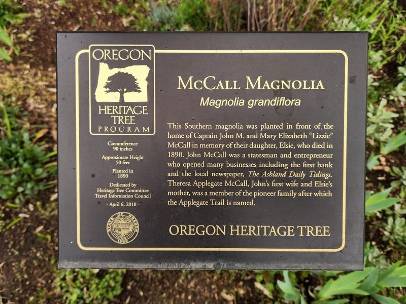
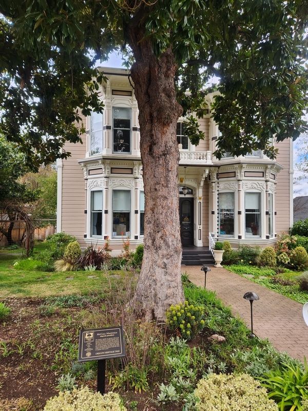
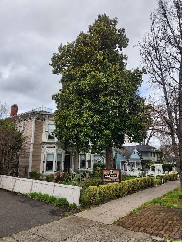
McCall Magnolia
Magnolia grandiflora
— Oregon Heritage Tree —
Circumference: 90 inches
Approximate Height: 50 feet
Planted in 1890
Erected 2018 by Heritage Tree Committee Oregon Travel Experience.
Topics. This historical marker is listed in these topic lists: Industry & Commerce • Settlements & Settlers. A significant historical year for this entry is 1890.
Location. 42° 11.886′ N, 122° 42.846′ W. Marker is in Ashland, Oregon, in Jackson County. Marker is on Oak Street, on the right when traveling south. Touch for map. Marker is at or near this postal address: 153 Oak Street, Ashland OR 97520, United States of America. Touch for directions.
Other nearby markers. At least 8 other markers are within walking distance of this marker. The Whittle Garage (within shouting distance of this marker); Ashland Lithia Water (about 500 feet away, measured in a direct line); Ashland Creek (about 600 feet away); Site of Old Ashland Mill (about 700 feet away); Welcome to Lithia Park (about 700 feet away); Citizens Banking and Trust Company (approx. 0.2 miles away); Enders Building No. 1, 1914 (approx. ¼ mile away); Applegate Trail - Ashland Creek (approx. 0.3 miles away). Touch for a list and map of all markers in Ashland.
Credits. This page was last revised on April 3, 2024. It was originally submitted on April 1, 2024, by Douglass Halvorsen of Klamath Falls, Oregon. This page has been viewed 52 times since then. Last updated on April 3, 2024, by Douglass Halvorsen of Klamath Falls, Oregon. Photos: 1, 2, 3. submitted on April 1, 2024, by Douglass Halvorsen of Klamath Falls, Oregon. • Andrew Ruppenstein was the editor who published this page.


