Near Marion in Crittenden County, Kentucky — The American South (East South Central)
Piney Fork Cumberland Presbyterian Church
Inscription.
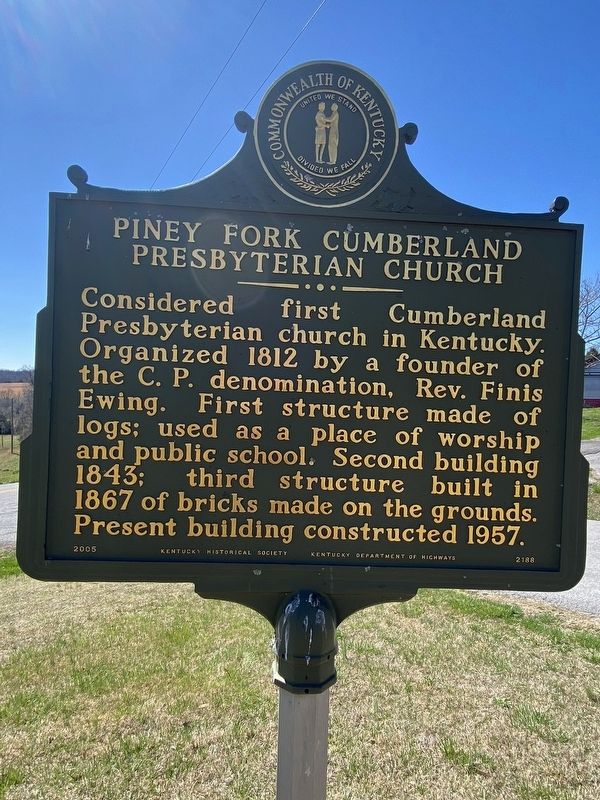
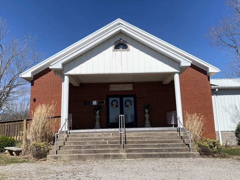
Considered first Cumberland Presbyterian church in Kentucky. Organized 1812 by a founder of the C.P. denomination, Rev. Finis Ewing. First structure made of logs; used as a place of worship and public school. Second building 1843; third structure built in 1867 of bricks made on the grounds. Present building constructed 1957.
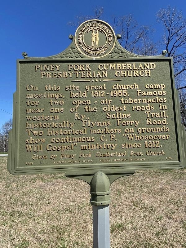
Reverse side:
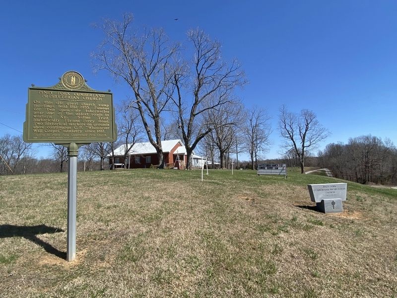
On this site great church camp meetings, held 1812-1955. Famous for two open air tabernacles near one of the oldest roads in Western Ky., Saline Trail, historically Flynns Ferry Road. Two historical markers on grounds show continuous C.P. "Whosoever Will Gospel" ministry since 1812.
Given by Piney Fork Cumberland Pres. Church
Erected 2005 by Kentucky Historical Society, Kentucky Department of Highways. (Marker Number 2188.)
Topics. This historical marker is listed in this topic list: Churches & Religion. A significant historical year for this entry is 1812.
Location. 37° 17.511′ N, 88° 0.234′ W. Marker is near Marion, Kentucky, in Crittenden County. Marker is at the intersection of Copperas Springs Road and Kentucky Road 506, on the right when traveling north on Copperas Springs Road. Touch for map. Marker is at or near this postal address: 4281 Copperas Springs Rd, Marion KY 42064, United States of America. Touch for directions.
Other nearby markers. At least 8 other markers are within 6 miles of this marker, measured as the crow flies. Original Site of Piney Fork Cumberland Presbyterian Church & School (about 600 feet away, measured in a direct line); Forrest Reconnoitered (approx. 5 miles away); F. Julius Fohs (1884-1965) / Fohs Hall (approx. 5 miles away); Senator W. J. Deboe / Senators from Marion (approx. 5.1 miles away); Courthouse Burned (approx. 5.1 miles away); Crittenden County Courthouse, Marion (approx. 5.1 miles away); County Named, 1842 (approx. 5.1 miles away); In Honor of Crittenden Countian Dr. Forrest Carlisle Pogue, Jr. (approx. 5.1 miles away). Touch for a list and map of all markers in Marion.
Credits. This page was last revised on April 5, 2024. It was originally submitted on April 3, 2024, by Darren Jefferson Clay of Duluth, Georgia. This page has been viewed 51 times since then. Photos: 1, 2, 3, 4. submitted on April 4, 2024, by Darren Jefferson Clay of Duluth, Georgia. • James Hulse was the editor who published this page.


