Salem in Livingston County, Kentucky — The American South (East South Central)
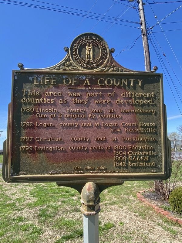
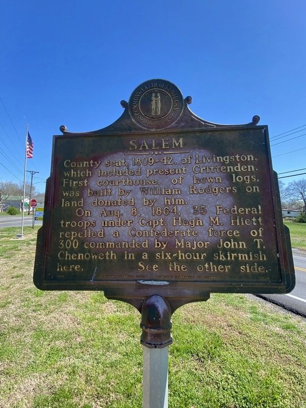
Life of a County / Salem
1780 Lincoln, county seat at Harrodsburg. One of 3 original Ky. counties
1792 Logan, county seat at Logan Court House now Russellville.
1797 Christian county seat at Hopkinsville.
1799 Livingston, county seats at 1800 Eddyville, 1804 Centerville, 1809 SALEM, 1842 Smithland (See other side)
Other Side:
County seat, 1809-42, of Livingston, which included present Crittenden. First courthouse, of hewn logs, was built by William Rodgers on land donated by him.
On Aug 8. 1864, 35 Federal troops under Capt. Hugh M. Hiett repelled a Confederate force of 300 commanded by Major John T. Chenoweth in a six-hour skirmish here. See the other side.
Erected 1968 by Kentucky Historical Society, Kentucky Department of Highways. (Marker Number 1204.)
Topics. This historical marker is listed in this topic list: Notable Places. A significant historical year for this entry is 1780.
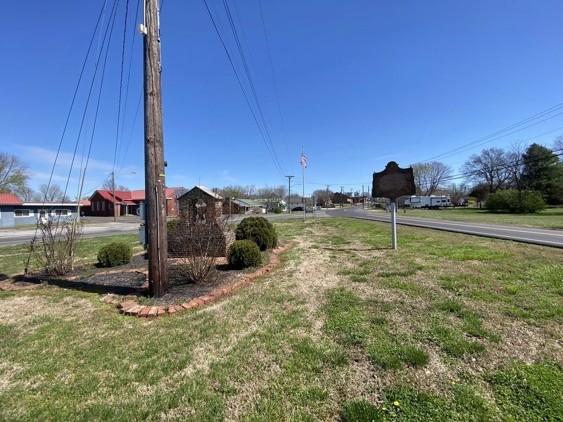
Location. 37° 15.869′ N, 88° 14.804′ W. Marker is in Salem, Kentucky, in Livingston County. Marker is at the intersection of West Main Street and Lola Road (State Road 133), on the right when traveling west on West Main Street. Touch for map. Marker is at or near this postal address: 141 W Main St, Salem KY 42078, United States of America. Touch for directions.
Other nearby markers. At least 8 other markers are within 11 miles of this marker, measured as the crow flies. A Renowned Senator (approx. 6.1 miles away); Crittenden Furnace (approx. 6.7 miles away); Underwood Furnace / Iron Made in Kentucky (approx. 8.3 miles away); Chapel Hill Presbyterian Church / Pioneer Church (approx. 8.3 miles away); Hopewell Furnace / Iron Made in Kentucky (approx. 8.3 miles away); Centerville (approx. 9.7 miles away); Family of Judges (approx. 10.1 miles away); Senator W. J. Deboe / Senators from Marion (approx. 10.2 miles away).
Credits. This page was last revised on April 6, 2024. It was originally submitted on April 3, 2024, by Darren Jefferson Clay of Duluth, Georgia. This page has been viewed 42 times since then. Photos: 1, 2, 3. submitted on April 4, 2024, by Darren Jefferson Clay of Duluth, Georgia. • James Hulse was the editor who published this page.


