Smithfield in Isle of Wight County, Virginia — The American South (Mid-Atlantic)
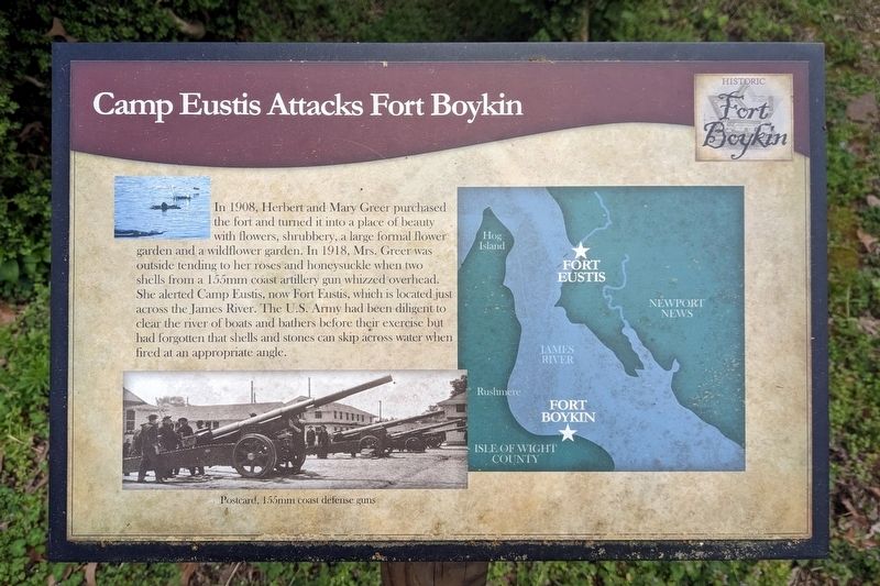
Camp Eustis Attacks Fort Boykin
— Historic Fort Boykin —
(caption) Postcard, 155mm coast defense guns
Erected by Isle of Wight County.
Topics. This historical marker is listed in these topic lists: Forts and Castles • War, World I. A significant historical year for this entry is 1918.
Location. 37° 2.059′ N, 76° 37.103′ W. Marker is in Smithfield, Virginia, in Isle of Wight County. Marker can be reached from the intersection of Fort Boykin Trail (Virginia Route 705) and Morgarts Beach Road (Virginia Route 673), on the left when traveling north. Touch for map. Marker is at or near this postal address: 7410 Fort Boykin Trail, Smithfield VA 23430, United States of America. Touch for directions.
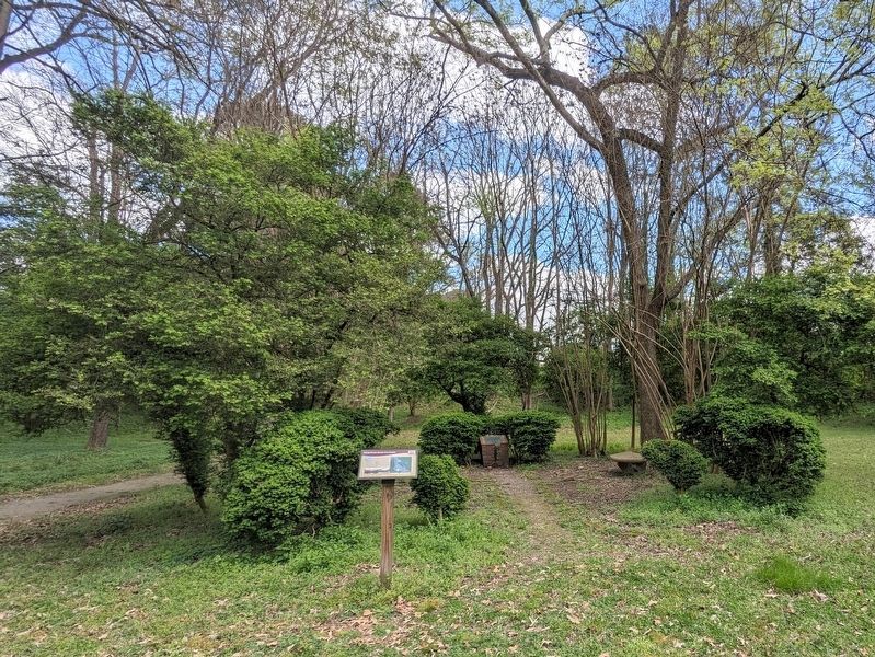
Other nearby markers. At least 8 other markers are within walking distance of this marker. Fort Boykin Memorial (here, next to this marker); The Well (within shouting distance of this marker); The Fort's Last Private Owners (within shouting distance of this marker); Fort Boykin (within shouting distance of this marker); Welcome to Fort Boykin (within shouting distance of this marker); Welcome to Fort Boykin Historic Park (about 300 feet away, measured in a direct line); Fort Boykin during the Civil War (about 400 feet away); The Historic James and its Tributaries (about 500 feet away). Touch for a list and map of all markers in Smithfield.
Also see . . . Fort Boykin. Isle of Wight County Museum (Submitted on April 6, 2024.)
Credits. This page was last revised on April 6, 2024. It was originally submitted on April 5, 2024, by Bernard Fisher of Richmond, Virginia. This page has been viewed 48 times since then. Photos: 1. submitted on April 5, 2024, by Bernard Fisher of Richmond, Virginia. 2. submitted on April 6, 2024, by Bernard Fisher of Richmond, Virginia.

