Madison in Madison County, Mississippi — The American South (East South Central)
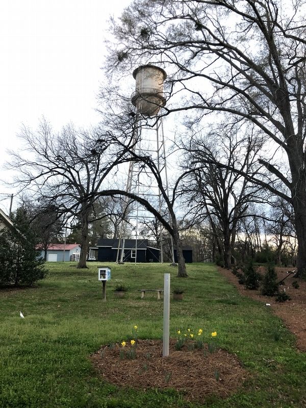
Madison's Water Tower
Inscription.
Erected in 1946, this all-steel, 50,000-gallon water tank supplied running water to Madison's residents until 1979. Built by the Chicago Bridge & Iron Co. of Birmingham, the tank drew water from a deep well on land deeded to the city by the Montgomery family. To fund the project, a $40,000 bond issue was approved by a vote of 85-0. By 1950, the well water was found to contain large amounts of iron, which stained residents' laundry. The water woes resulted in the election of Mayor Dorothy Crawford and five women to the Board of Alderman.
Erected 2021 by Mississippi Department of Archives and History.
Topics and series. This historical marker is listed in this topic list: Landmarks. In addition, it is included in the Mississippi State Historical Marker Program series list. A significant historical year for this entry is 1946.
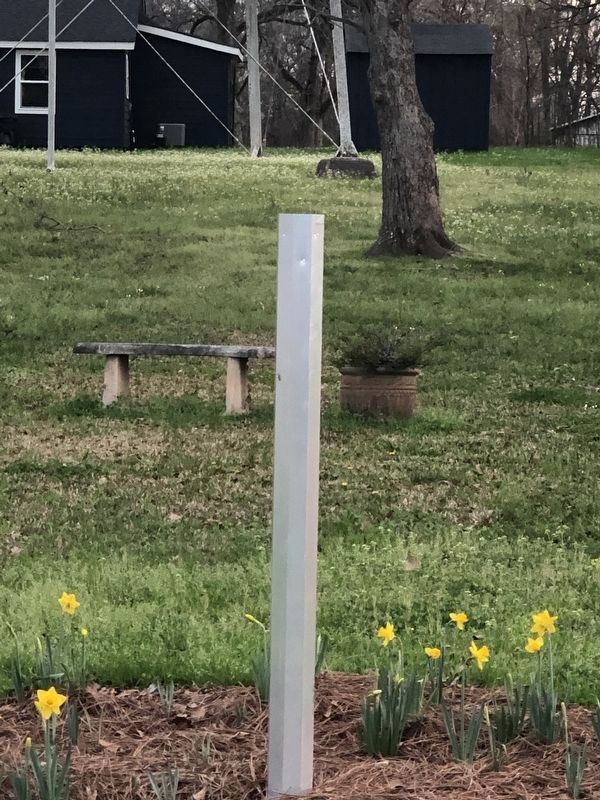
Location. Marker is missing. It was located near 32° 27.719′ N, 90° 6.992′ W. Marker was in Madison, Mississippi, in Madison County. Marker was at the intersection of Main Street (Mississippi Route 463) and Depot Drive, on the right when traveling east on Main Street. Touch for map. Marker was at or near this postal address: 2069 Main St, Madison MS 39110, United States of America. Touch for directions.
Other nearby markers. At least 8 other markers are within 2 miles of this location, measured as the crow flies. John Curran House (within shouting distance of this marker); Farr Mercantile Company (about 300 feet away, measured in a direct line); Montgomery House (about 400 feet away); Old School Gymnasium (approx. 0.2 miles away); Madison (approx. 0.4 miles away); Strawberry Patch House (approx. 1.1 miles away); Montgomery Memorial Cemetery (approx. 1.1 miles away); World War II Airfield Hangars (approx. 1˝ miles away). Touch for a list and map of all markers in Madison.
Credits. This page was last revised on April 6, 2024. It was originally submitted on April 6, 2024, by Duane and Tracy Marsteller of Murfreesboro, Tennessee. This page has been viewed 43 times since then. Photos: 1, 2. submitted on April 6, 2024, by Duane and Tracy Marsteller of Murfreesboro, Tennessee.
Editor’s want-list for this marker. Closeup and wide-view photographs of marker. • Can you help?

