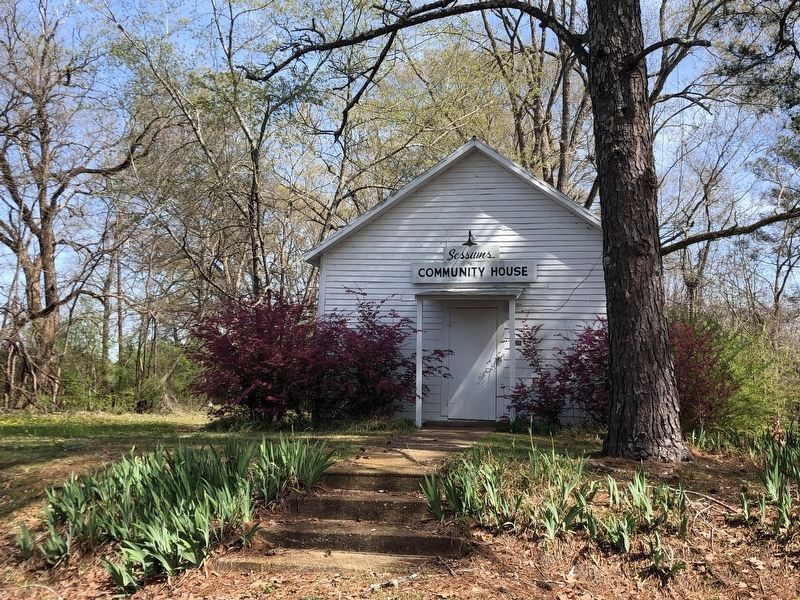
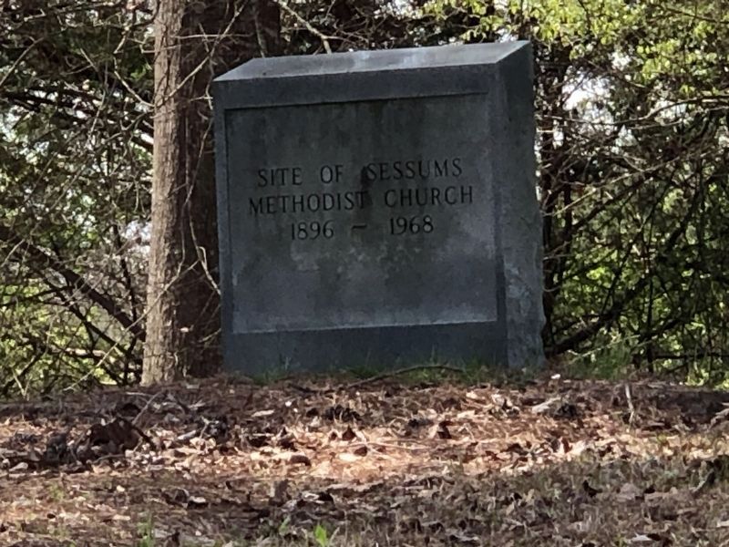
Near Starkville in Oktibbeha County, Mississippi — The American South (East South Central)
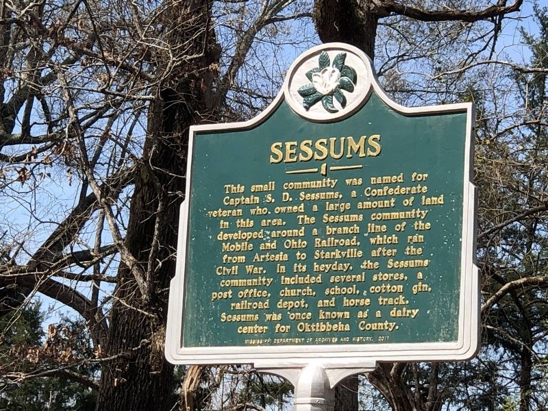
Sessums
Erected 2017 by Mississippi Department of Archives and History.
Topics and series. This historical marker is listed in this topic list: Settlements & Settlers. In addition, it is included in the Mississippi State Historical Marker Program series list.
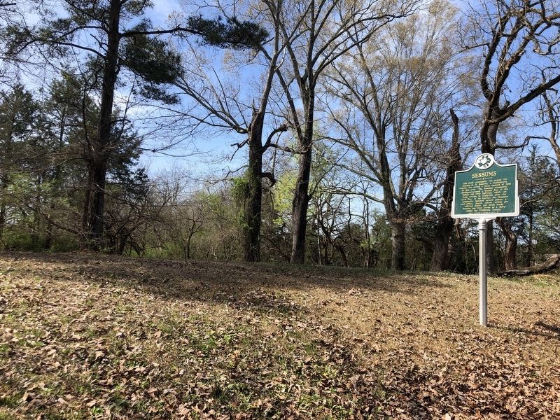
Location. 33° 25.1′ N, 88° 42.886′ W. Marker is near Starkville, Mississippi, in Oktibbeha County. Marker is on Sessums Road, 0.1 miles north of Sessums Circle, on the left when traveling north. Marker is at Sessums Cemetery. Touch for map. Marker is at or near this postal address: 2060 Sessums Rd, Starkville MS 39759, United States of America. Touch for directions.
Other nearby markers. At least 8 other markers are within 7 miles of this marker, measured as the crow flies. Needmore Community (approx. 5.9 miles away); Nash Street Historic District (approx. 6 miles away); B.L. Moor High School (approx. 6 miles away); Oktibbeha County Blues (approx. 6.1 miles away); The Borden Milk Plant (approx. 6.3 miles away); Overstreet School District (approx. 6.4 miles away); Oktibbeha Gardens (approx. 6.4 miles away); First Presbyterian Church (approx. 6˝ miles away). Touch for a list and map of all markers in Starkville.
Also see . . . History of Sessums Community through 1976. A historical paper on the community's past. (Mrs. Morris Seitz; via Yumpu) (Submitted on April 7, 2024, by Duane and Tracy Marsteller of Murfreesboro, Tennessee.)
Credits. This page was last revised on April 7, 2024. It was originally submitted on April 7, 2024, by Duane and Tracy Marsteller of Murfreesboro, Tennessee. This page has been viewed 41 times since then. Photos: 1, 2, 3, 4. submitted on April 7, 2024, by Duane and Tracy Marsteller of Murfreesboro, Tennessee.


