Ternes in Paris in Département de Paris, Île-de-France, France — Western Europe
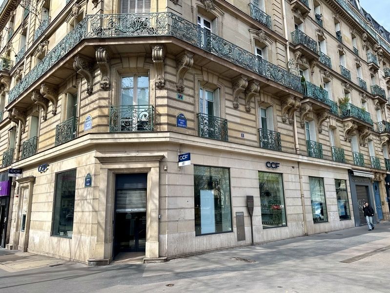
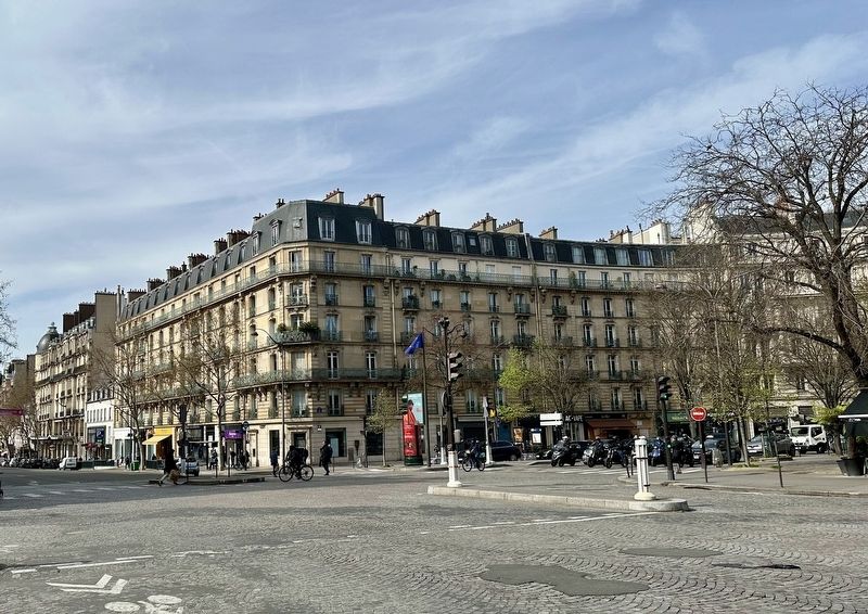
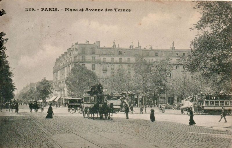
Place des Ternes
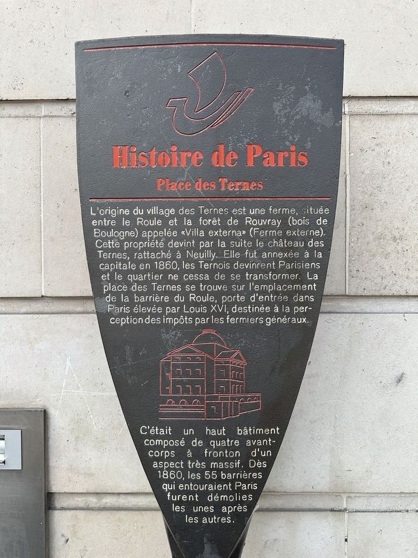
— Histoire de Paris —
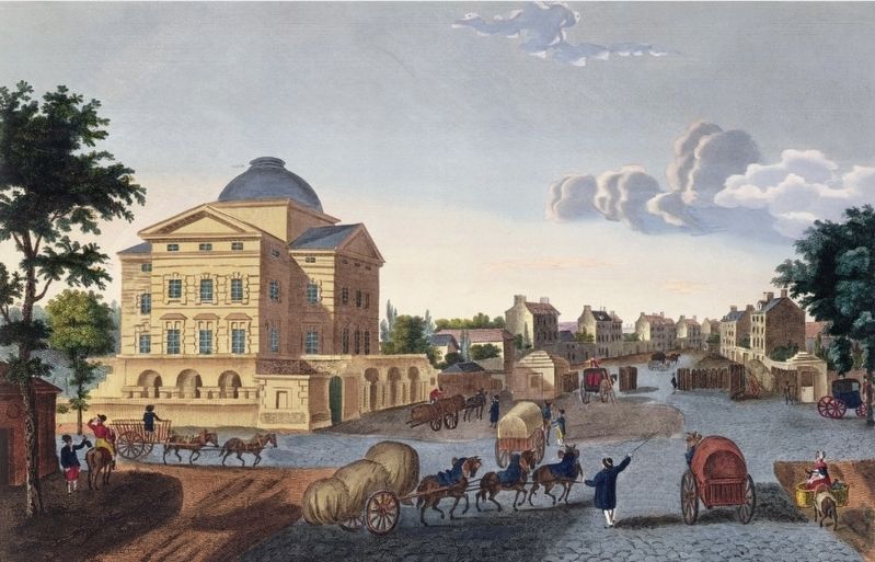
The origin of the village of Ternes was a farm, located between Roule and the Rouvray forest (Bois de Boulogne) called “Villa externa” (External farm). This property subsequently became the Château des Ternes, attached to Neuilly. It was annexed to the capital in 1860, the Ternois became Parisians and the district continued to transform. Place des Ternes is located on the site of the Barriere du Roule, a gateway to Paris built by Louis XVI, intended for the collection of taxes. It was a tall building made up of four pedimented front buildings of a very massive appearance. From 1860, the 55 barriers which surrounded Paris were demolished one after the other.
Topics and series. This historical marker is listed in this topic list: Settlements & Settlers. In addition, it is included in the Histoire de Paris series list. A significant historical year for this entry is 1860.
Location. 48° 52.688′ N, 2° 17.847′ E. Marker is in Paris, Île-de-France, in Département de Paris. It is in Ternes. Marker is at the intersection of Place des Ternes and Avenue des Ternes on Place des Ternes. Touch for map. Marker is at or near this postal address: 1 Place des Ternes, Paris, Île-de-France 75017, France. Touch for directions.
Other nearby markers. At least 8 other markers are within walking distance of this marker. Laugier, Fourcroy, Renaudes Deported Jewish Student Memorial (approx. 0.3 kilometers away); Pedro Vicente Maldonado (1704-1748) (approx. half a kilometer away); Marthe Chenal de L’Opéra (approx. half a kilometer away); Gabriel Hanotaux (approx. half a kilometer away); Miguel Angel Asturias (approx. half a kilometer away); Honoré de Balzac (approx. half a kilometer away); Paul Doumer (approx. half a kilometer away); The Students of France (approx. half a kilometer away). Touch for a list and map of all markers in Paris.
Also see . . . Place des Ternes (ParisBestlodge.com).
Excerpt: This small place is ritually inhabited by some merchants of flowers sheltered in green cottages, identical to those installed, in greater number, Place of the Madeleine. Located at the border of 8th and the 17th district, it is a point of obliged passage for which moves towards Etoile while coming from the north of Paris. The origin of its name comes from the Middle Age, a long time ago when the bishop of Paris maintained towards the Faubourg du Roule a countryside farm of baptized Villa Externa, since it was apart from his Parisian district. Town Paris was reduced then to some central arrondissements central. This farm was transformed into castle by Pierre Habert, a manservant of Henri III. Externa became Estern then Ternes. The revolution allotted this hamlet of the Terns to the village neighbor of Neuilly…(Submitted on April 8, 2024.)
Credits. This page was last revised on April 8, 2024. It was originally submitted on April 8, 2024, by Andrew Ruppenstein of Lamorinda, California. This page has been viewed 34 times since then. Photos: 1, 2, 3, 4, 5. submitted on April 8, 2024, by Andrew Ruppenstein of Lamorinda, California.
