Mount Vernon in Rockcastle County, Kentucky — The American South (East South Central)
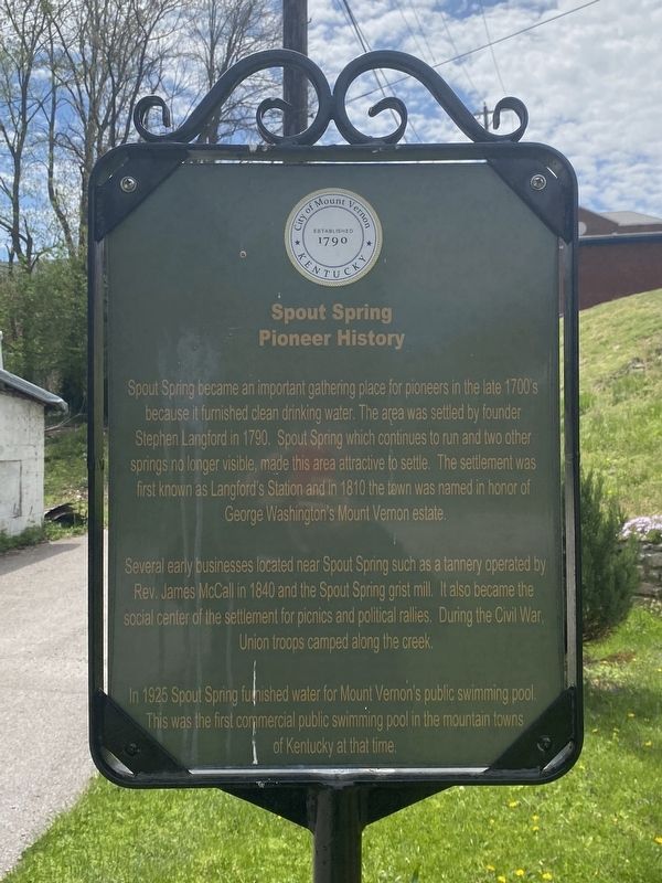
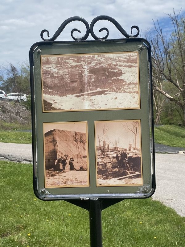
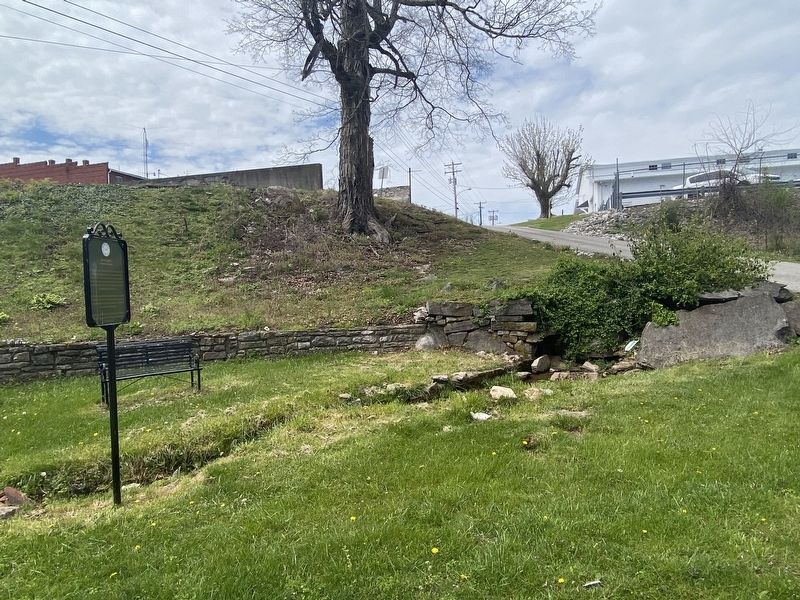
Spout Spring Pioneer History
Several early businesses located near Spout Spring such as a tannery operated by Rev. James McCall in 1840 and the Spout Spring grist mill. It also became the social center of the settlement for picnics and political rallies. During the Civil War Union troops camped along the creek.
In 1925 Spout Spring furnished water for Mount Vernon's public swimming pool. This was the first commercial public swimming pool in the mountain towns of Kentucky at that time.
Erected by City of Mount Vernon.
Topics. This historical marker is listed in this topic list: Notable Places.
Location. 37° 21.207′ N, 84° 20.264′ W. Marker is in Mount Vernon, Kentucky, in Rockcastle County. Marker is at the intersection of Cs-1086 and Spring Street, on the left when traveling north on Cs-1086 . Touch for map. Marker is at or near this postal address: 55 Cs-1086, Mount Vernon KY 40456, United States of America. Touch for directions.
Other nearby markers. At least 8 other markers are within walking distance of this marker. Cox Building History (about 300 feet away, measured in a direct line); Col. James Maret (1855- 1936) (about 300 feet away); Boone Way (about 300 feet away); Rockcastle County, 1810 (about 300 feet away); Rockcastle Co. War Memorial (about 300 feet away); Fish – Hiatt Building (about 300 feet away); Grand Army of the Republic (GAR) (about 400 feet away); Bryant Building / Murder on Main Street (about 600 feet away). Touch for a list and map of all markers in Mount Vernon.
Credits. This page was last revised on April 13, 2024. It was originally submitted on April 8, 2024, by Darren Jefferson Clay of Duluth, Georgia. This page has been viewed 41 times since then. Photos: 1, 2, 3. submitted on April 11, 2024, by Darren Jefferson Clay of Duluth, Georgia. • James Hulse was the editor who published this page.


