Mount Vernon in Rockcastle County, Kentucky — The American South (East South Central)
How the City of Mount Vernon was named
Inscription.
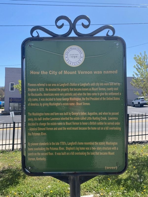
Pioneers referred to our area as Langford's Station or Langford's until city lots were laid out by Stephen in 1810. He donated the property that became known as Mount Vernon, county seat for Rockcastle. Americans were very patriotic and when the time came to give the settlement a city name, it was decided to honor George Washington, the first President of the United States of America, by giving Washington's estate name - Mount Vernon.
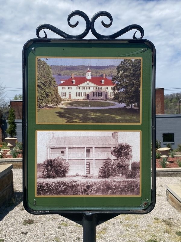
The Washington home and farm was built by George's father, Augustine, and when he passed away, his half-brother Lawrence inherited the estate called Little Hunting Creek. Lawrence decided to change the estate name to Mount Vernon to honor a British soldier he served under - Admiral Edmond Vernon and used the word mount because the home sat on a hill overlooking the Potomac River.
By pioneer standards in the late 1700's, Langford's home resembled the stately Washington home overlooking the Potomac River. Stephen's log home was a two-story structure with a porch on the second floor. It was built on a hill overlooking the land that became Mount Vernon, Kentucky
Erected by City of Mount Vernon.
Topics. This historical marker is listed in this topic list: Notable Places.
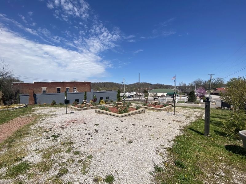
Location. 37° 21.204′ N, 84° 20.424′ W. Marker is in Mount Vernon, Kentucky, in Rockcastle County. Marker is at the intersection of Richmond Street and West Main Street, on the left when traveling north on Richmond Street. Touch for map. Marker is at or near this postal address: 100 Richmond St, Mount Vernon KY 40456, United States of America. Touch for directions.
Other nearby markers. At least 8 other markers are within walking distance of this marker. City of Mount Vernon - 1800's (here, next to this marker); Stephen Langford (a few steps from this marker); Longhunters / George Washington's Deer Park (a few steps from this marker); Pioneer Routes In Rockcastle County (a few steps from this marker); C.C. Williams Home (a few steps from this marker); Triangle Park (within shouting distance of this marker); a different marker also named Triangle Park (within shouting distance of this marker); Fritz Krueger Building (within shouting distance of this marker). Touch for a list and map of all markers in Mount Vernon.
Credits. This page was last revised on April 13, 2024. It was originally submitted on April 8, 2024, by Darren Jefferson Clay of Duluth, Georgia. This page has been viewed 44 times since then. Photos: 1, 2, 3. submitted on April 11, 2024, by Darren Jefferson Clay of Duluth, Georgia. • James Hulse was the editor who published this page.


