Bethelridge in Casey County, Kentucky — The American South (East South Central)
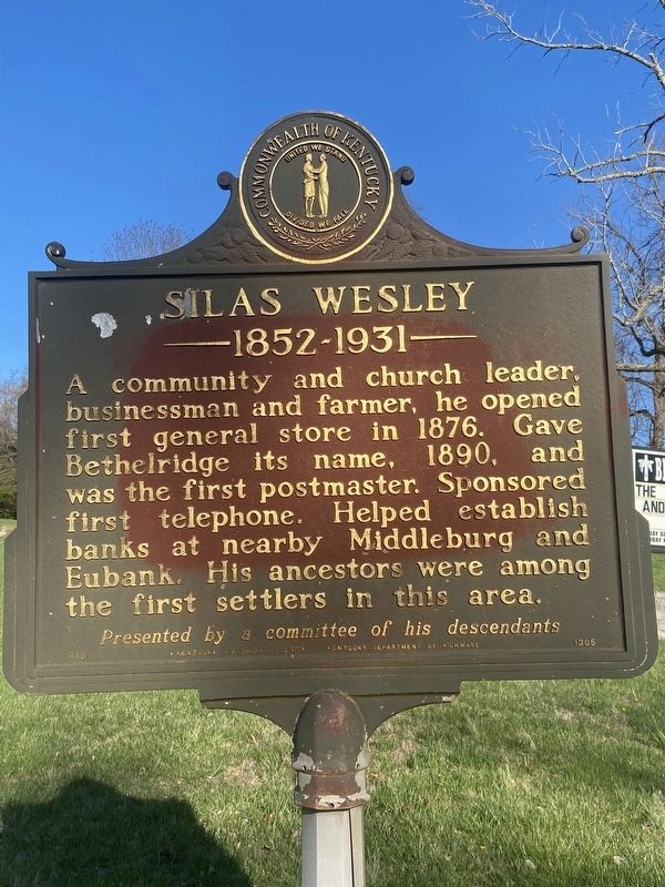
Silas Wesley
1852 - 1931
Erected 1970 by Kentucky Historical Society, Kentucky Department of Highways. (Marker Number 1305.)
Topics. This historical marker is listed in these topic lists: Industry & Commerce • Settlements & Settlers. A significant historical year for this entry is 1876.
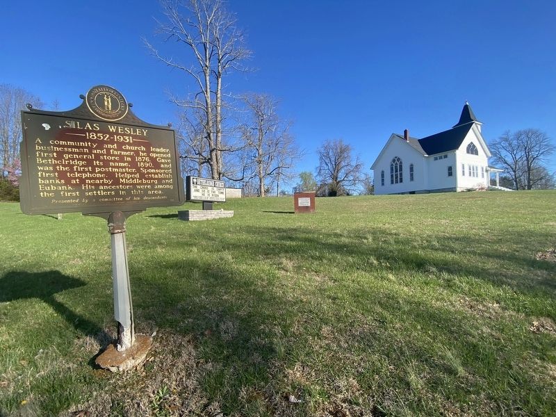
Location. 37° 13.946′ N, 84° 45.123′ W. Marker is in Bethelridge, Kentucky, in Casey County. Marker is at the intersection of State Road 70 and Bethel Ridge Road, on the right when traveling east on State Road 70. Touch for map. Marker is at or near this postal address: 16950 KY-70, Bethelridge KY 42516, United States of America. Touch for directions.
Other nearby markers. At least 8 other markers are within 12 miles of this marker, measured as the crow flies. Utah School (approx. 2.9 miles away); 1st KY Cavalry Beginning (approx. 3.4 miles away); Dedicated to the Memory of General Christopher Riffe (approx. 9.7 miles away); John Fry (approx. 11.3 miles away); Confederate Defense Line / The Forces Move In / Battle of Mill Springs / Aftermath (approx. 11.4 miles away); A Hard March (approx. 11.4 miles away); Mill Springs National Cemetery (approx. 11.4 miles away); A National Cemetery System (approx. 11.4 miles away).
Credits. This page was last revised on April 24, 2024. It was originally submitted on April 9, 2024, by Darren Jefferson Clay of Duluth, Georgia. This page has been viewed 38 times since then. Photos: 1, 2. submitted on April 22, 2024, by Darren Jefferson Clay of Duluth, Georgia. • James Hulse was the editor who published this page.

