Near Albany in Clinton County, Kentucky — The American South (East South Central)
Bible Mission School / Bible Mission School and Orphanage
Inscription.
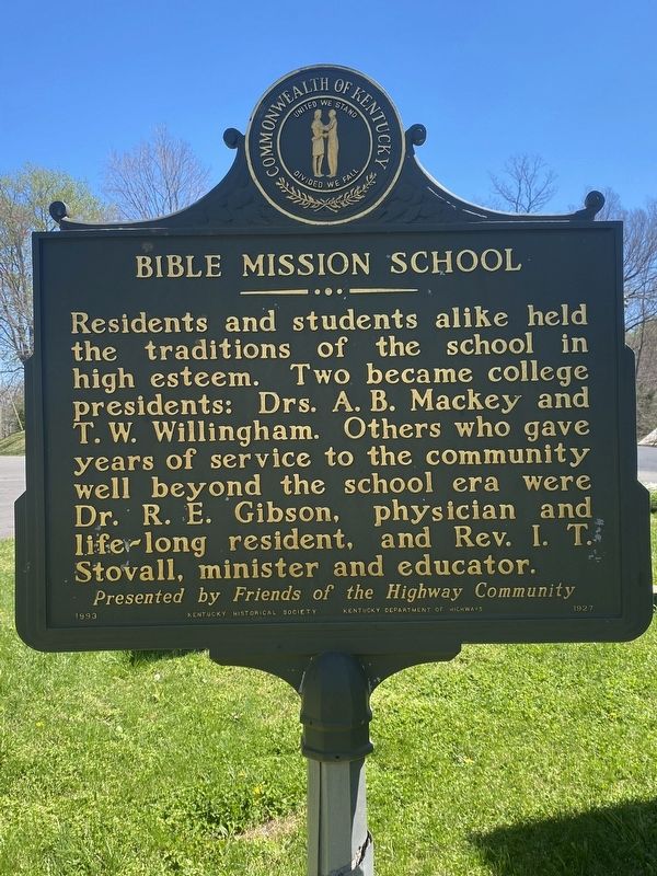
Side 1:
Residents and students alike held the traditions of the school in high esteem. Two became college presidents: Drs. A. B. Mackey and T. W. Willingham. Others who gave years of service to the community well beyond the school era were Dr. R. E. Gibson, physician and life-long resident, and Rev. I. T. Stovall, minister and educator.
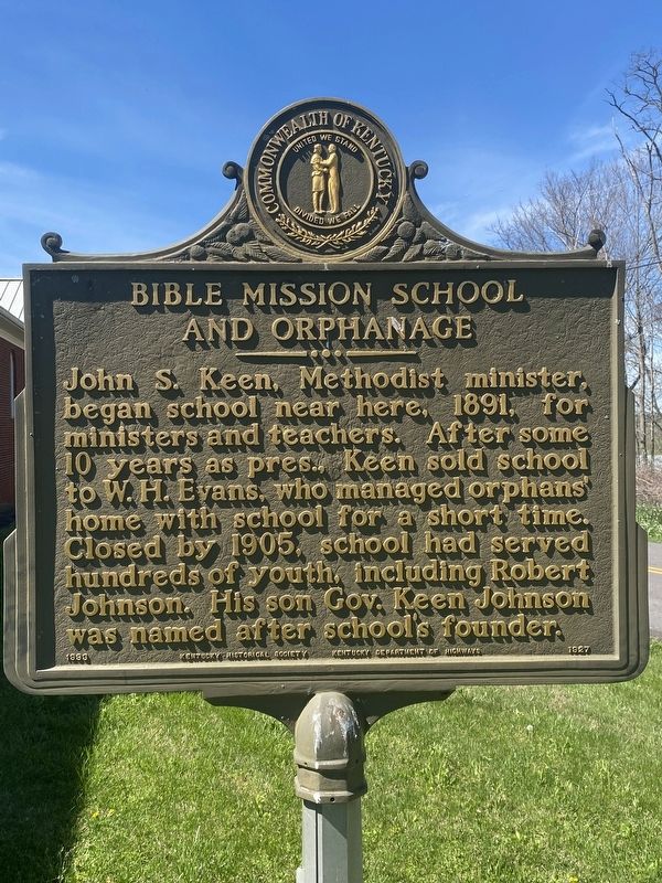
Side 2:
John S. Keen, Methodist minister, began school near here, 1891, for ministers and teachers. After some 10 years as pres., Keen sold school to W. H. Evans, who managed orphans home with school for a short time. Closed by 1905, school had served hundreds of youth, including Robert Johnson. His son Gov. Keen Johnson was named after school's founder.
Erected 1993 by Kentucky Historical Society, Kentucky Department of Highways. (Marker Number 1927.)
Topics. This historical marker is listed in these topic lists: Churches & Religion • Education. A significant historical year for this entry is 1891.
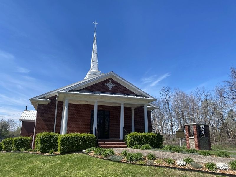
Location. 36° 44.296′ N, 85° 12.579′ W. Marker is near Albany, Kentucky, in Clinton County. Marker is at the intersection of State Highway 1351 and Groce Gibson Road, on the left when traveling south on State Highway 1351. Touch for map. Marker is at or near this postal address: 959 State Hwy 1351, Albany KY 42602, United States of America. Touch for directions.
Other nearby markers. At least 8 other markers are within 10 miles of this marker, measured as the crow flies. Civil War Terrorist (approx. 5.3 miles away); Courthouse Burned (approx. 5.3 miles away); County Named, 1835 (approx. 5.3 miles away); Pioneer Settler (approx. 5.3 miles away); Sen. Ed P. Warinner / Seventy-Six Falls (approx. 5.4 miles away); Clear Fork Baptist Church (approx. 6.4 miles away); Confederate Crossings at Neeley's Ferry (approx. 9 miles away); Burkesville Ferry (approx. 9.3 miles away). Touch for a list and map of all markers in Albany.
Credits. This page was last revised on April 24, 2024. It was originally submitted on April 9, 2024, by Darren Jefferson Clay of Duluth, Georgia. This page has been viewed 37 times since then. Photos: 1, 2, 3. submitted on April 22, 2024, by Darren Jefferson Clay of Duluth, Georgia. • James Hulse was the editor who published this page.


