Colbert in Bryan County, Oklahoma — The American South (West South Central)
The Message Tree
Photographed by Ronald Claiborne, April 6, 2024
1. The Message Tree Marker
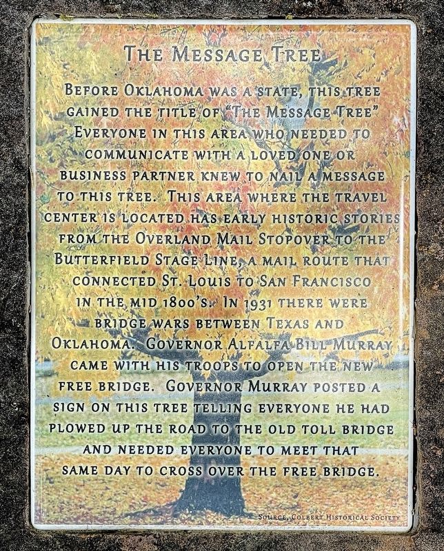
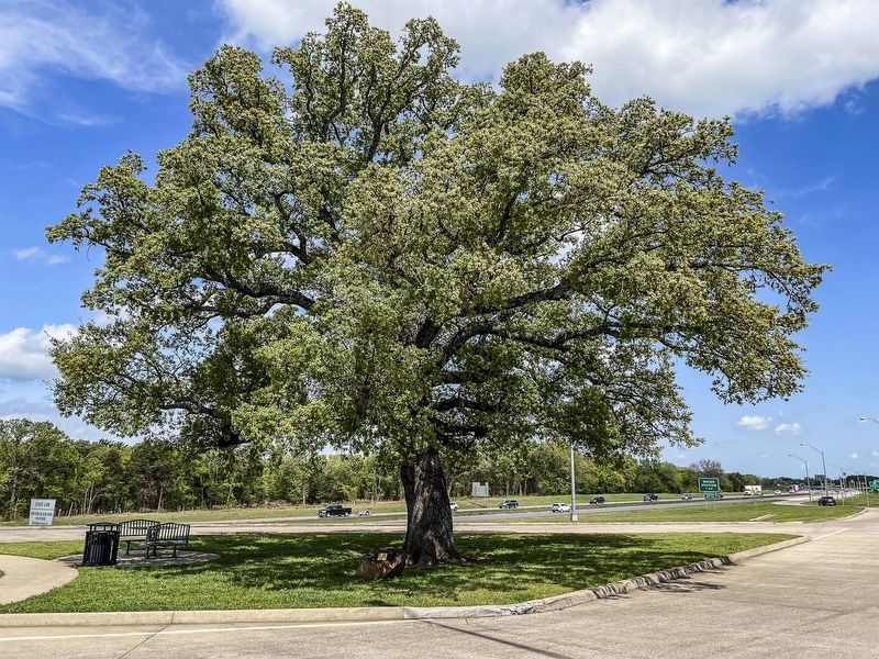
Before Oklahoma was a state, this tree gained the title of “The Message Tree”. Everyone in this area who needed to communicate with a loved one or business partner knew to nail a message to this tree.
This area where the travel center is located has early historic stories from the Overland Mail Stopover to the Butterfield Stage Line, a mail route that connected St. Louis to San Francisco in the mid-1800s. In 1931 there were bridge wars between Texas and Oklahoma. Governor Alfalfa Bill Burray came with his troops to open the New Free Bridge. Governor Murray posted a sign on this tree telling everyone he had plowed up the road to the old toll bridge and needed everyone to meet that same day to cross over the free bridge.
Erected by Colbert Historical Society.
Topics. This historical marker is listed in these topic lists: Communications • Horticulture & Forestry • Roads & Vehicles.
Location. 33° 50.662′ N, 96° 30.777′ W. Marker is in Colbert, Oklahoma, in Bryan County. It is on Alternate U.S. 69/75 north of Uptown West River Road, on the right when traveling
this page online

Regionally, this marker is in the Choctaw Nation and in Southeast Oklahoma—Choctaw Country. It is also in the American South, specifically on the prairies, and on the Southern Plains. Globally, it is in North America, the Western Hemisphere, the Western World, and the Anglosphere. Historically, it finds itself in what was once New Spain, the territory of the Mississippian Culture, and the Louisiana Purchase.
Other nearby markers. At least 8 other markers are within 6 miles of this marker, measured as the crow flies: Colbert's Ferry (approx. 0.9 miles away); Red River Bridge (approx. 0.9 miles away); Site of Colbert'S Ferry (approx. 1.8 miles away); 1931 Free Bridge Controversy (approx. 2.2 miles away in Texas); a different marker also named Colbert's Ferry (approx. 2.2 miles away in Texas); Lake Texoma (approx. 3.9 miles away in Texas); Site of Terrell High School (approx. 5.7 miles away in Texas); Joseph G. McCoy
Photographed by Ronald Claiborne, April 6, 2024
2. The Message Tree
Credits. This page was last revised on December 30, 2024. It was originally submitted on April 10, 2024, by Ronald Claiborne of College Station, Texas. This page has been viewed 586 times since then and 36 times this year. Photos: 1, 2. submitted on April 10, 2024, by Ronald Claiborne of College Station, Texas. • J. Makali Bruton was the editor who published this page.
