Bethel in Sussex County, Delaware — The American Northeast (Mid-Atlantic)
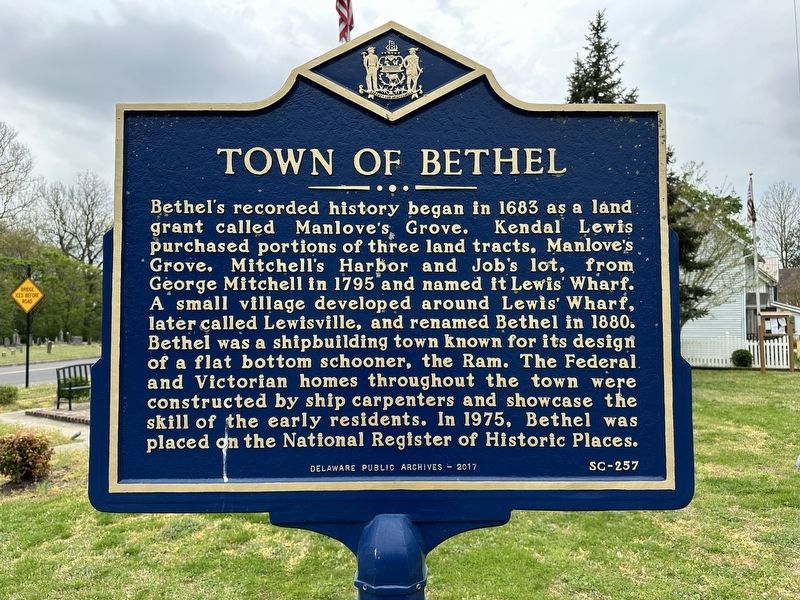
Town of Bethel
Erected 2017 by Delaware Public Archives. (Marker Number SC-257.)
Topics and series. This historical marker is listed in these topic lists: Architecture • Industry & Commerce • Settlements & Settlers. In addition, it is included in the Delaware Public Archives series list. A significant historical year for this entry is 1683.
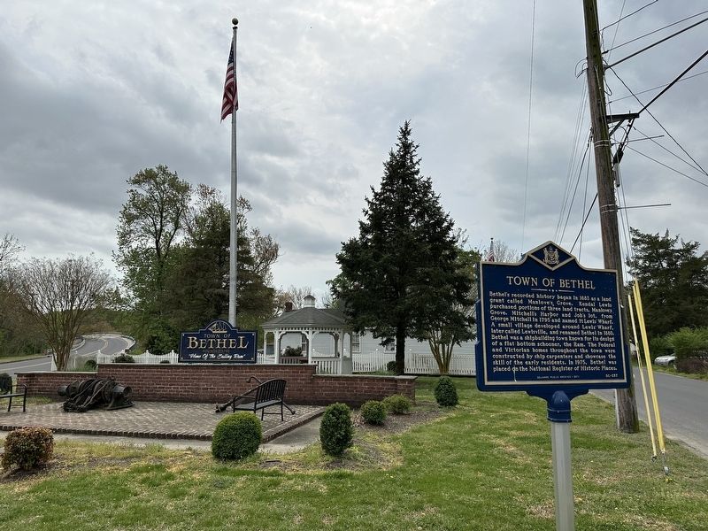
Location. 38° 34.225′ N, 75° 37.172′ W. Marker is in Bethel, Delaware, in Sussex County. Marker is on Main Street, on the left when traveling south. Touch for map. Marker is at or near this postal address: 7749 Main St, Bethel DE 19931, United States of America. Touch for directions.
Other nearby markers. At least 8 other markers are within 3 miles of this marker, measured as the crow flies. Shipcarpenters and Seamen Memorial (here, next to this marker); Sailor's Bethel Methodist Church (within shouting distance of this marker); Bethel Shipyard (about 400 feet away, measured in a direct line); Bethel Community House (approx. 0.2 miles away); Portsville United Methodist Church (approx. ¾ mile away); Paul Laurence Dunbar School (approx. 2.3 miles away); Mount Zion United Methodist Church (approx. 2.4 miles away); 709 West Street (approx. 2.6 miles away). Touch for a list and map of all markers in Bethel.
Credits. This page was last revised on April 18, 2024. It was originally submitted on April 17, 2024, by Pete Skillman of Townsend, Delaware. This page has been viewed 49 times since then. Photos: 1, 2. submitted on April 17, 2024, by Pete Skillman of Townsend, Delaware. • Bill Pfingsten was the editor who published this page.

