Bowmanville in Clarington in Durham Region, Ontario — Central Canada (North America)
Central Public School
Historic Bowmanville
— Circa 1840 —
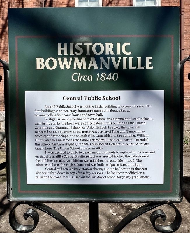
In 1855, as an improvement to education, an assortment of small schools then being run by the town were consolidated in this building as the United Common and Grammar School, or Union School. In 1856, the town hall relocated to new quarters at the northwest corner of King and Temperance Streets; and two wings, one on each side, were added to the building. William Hunt, later to gain fame as the famous daredevil "The Great Farini", attended this school. Sir Sam Hughes, Canada's Minister of Defence in World War One, taught here. The Union School burned in 1887.
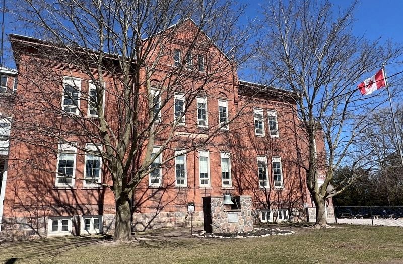
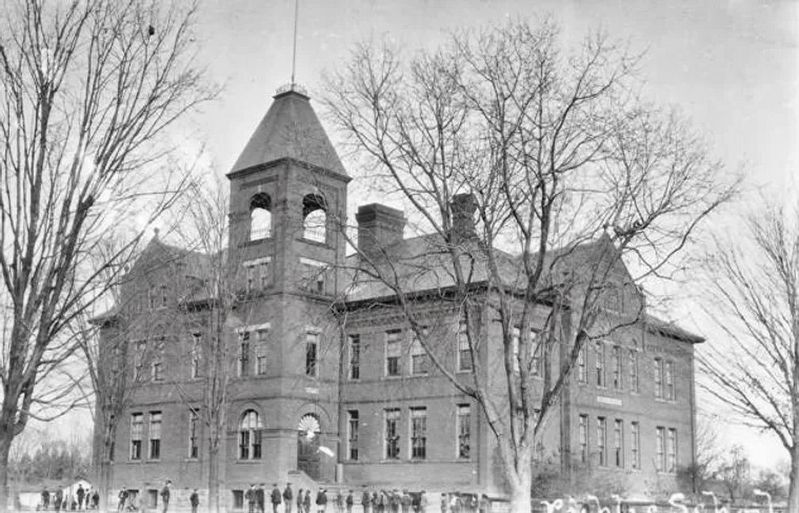
It was decided to build two new modern schools to replace this old one and on this site in 1889 Central Public School was erected (notice the date stone at the building's peak). An addition was added on the east side in 1926. The other school was the High School and was built on Queen Street in 1890. Central still retains its Victorian charm, but the bell tower on the west side was taken down in 1976 for safety reasons. The bell now modified on a cairn on the front lawn, is used on the last day of school for yearly graduations.
Topics. This historical marker is listed in this topic list: Education. A significant historical year for this entry is 1840.
Location. 43° 54.889′ N, 78° 41.383′ W. Marker is in Clarington, Ontario, in Durham Region. It is in Bowmanville. Marker is at the intersection of Wellington Street and Silver Street, on the right when traveling west on Wellington Street. Touch for map. Marker is at or near this postal address: 120 Wellington St, Clarington ON L1C L1C, Canada. Touch for directions.
Other nearby markers. At least 8 other markers are within walking distance of this marker. Central Public School Tower Bell (here, next to this marker); Rathskamory Estate. Circa 1843 (about 180 meters away, measured in a direct line); Clarington Municipal Administration Centre (about 180 meters away); St. Andrew's Presbyterian Church (about 180 meters away); Church and Temperance Street, circa 1880 (about 210 meters away); Bowmanville's First Volunteers, W.W. I (about 210 meters away); Lt.-Col. Charles Robert McCullough (approx. 0.2 kilometers away); Market Square, Town Hall & Horsey Block, 1880. (approx. 0.3 kilometers away). Touch for a list and map of all markers in Clarington.
Credits. This page was last revised on April 19, 2024. It was originally submitted on April 18, 2024, by Tim Boyd of Hamilton, Ontario. This page has been viewed 40 times since then. Photos: 1, 2, 3. submitted on April 18, 2024, by Tim Boyd of Hamilton, Ontario. • Andrew Ruppenstein was the editor who published this page.


