Bowmanville in Clarington in Durham Region, Ontario — Central Canada (North America)
Clarington Municipal Administration Centre
Historic Bowmanville
| — | Circa 1903 | — |
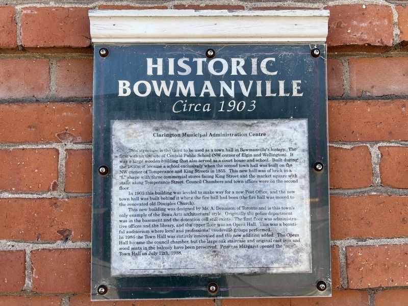
Photographed by Tim Boyd, April 7, 2024
1. Clarington Municipal Administration Centre Marker
In 1903 this building was leveled to make way for a new Post Office, and the new town hall was built behind it where the fire hall had been (the fire hall was moved to the renovated old Disciples Church).
This new building was designed by Mr. A. Dennison of Toronto and is this town's only example of the Beau Arts architectural style. Originally the police department was in the basement and the detention cell still exists. The first floor was administrative offices and the library, and the upper floor was an Opera Hall. This
this page online
Topics. This historical marker is listed in these topic lists: Architecture • Government & Politics. A significant historical year for this entry is 1903.
Location. 43° 54.795′ N, 78° 41.325′ W. Marker is in Clarington, Ontario, in Durham Region. It is in Bowmanville. It is at the intersection of Temperance Street and Church Street, on the right when traveling south on Temperance Street. Touch for map. Marker is in this post office area: Clarington ON L1C 1T6, Canada. Touch for directions.

Regionally, this marker is in Greater Toronto, specifically on the Golden Horseshoe, in the York, Durham and Headwaters Area, and in the Toronto Metropolitan Area. It is also in Central Canada. Globally, it is in North America, on the Great Lakes, in the Western Hemisphere,
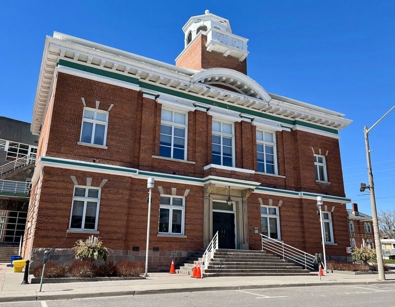
Photographed by Tim Boyd, April 7, 2024
2. Clarington Municipal Administration Centre Marker
Marker is to the right of the door
Other nearby markers. At least 8 other markers are within walking distance of this marker: Rathskamory Estate. Circa 1843 (a few steps from this marker); Church and Temperance Street, circa 1880 (a few steps from this marker); St. Andrew's Presbyterian Church (within shouting distance of this marker); Bowmanville's First Volunteers, W.W. I (within shouting distance of this marker); Bowmanville Cenotaph (within shouting distance of this marker); Lt.-Col. Charles Robert McCullough (within shouting distance of this marker); Market Square, Town Hall & Horsey Block, 1880. (within shouting distance of this marker); King Street, Circa 1900 (about 180 meters away, measured in a direct line). Touch for a list and map of all markers in Clarington.
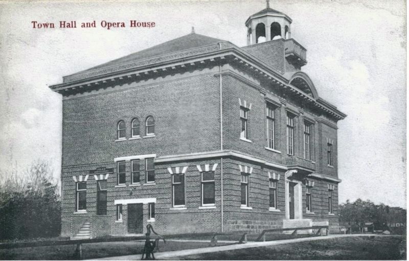
circa 1910
3. Bowmanville Town Hall, ca 1910
Source: McCord Museum (public domain)
Credits. This page was last revised on April 19, 2024. It was originally submitted on April 18, 2024, by Tim Boyd of Hamilton, Ontario. This page has been viewed 440 times since then and 69 times this year. Photos: 1, 2, 3. submitted on April 18, 2024, by Tim Boyd of Hamilton, Ontario. • Andrew Ruppenstein was the editor who published this page.
