Latrobe in Westmoreland County, Pennsylvania — The American Northeast (Mid-Atlantic)
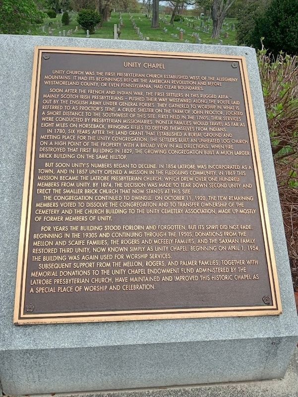
Unity Chapel
Soon after the French and Indian War, the first settlers in this rugged area - mainly Scotch-Irish Presbyterians - pushed their way westward along the route laid out by the English Army under General Forbes. They gathered to worship in what is referred to as Proctor's Tent, a crude shelter on the farm of John Proctor, located a short distance to the southwest of this site. First held in the 1760s, their services were conducted by Presbyterian missionaries. Pioneer families would travel as far as eight miles on horseback, bringing rifles to defend themselves from Indians.
In 1780, six years after the land grant that established a burial ground and meeting place for the Unity congregation, the settlers built an unheated log church on a high point of the property with a broad view in all directions. When fire destroyed that first building in 1829, the growing congregation built a much larger brick building on the same hilltop.
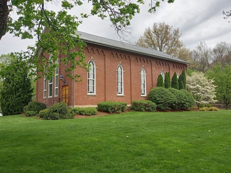
But soon Unity's numbers began to decline. In 1854 Latrobe was incorporated as a town, and in 1857 Unity opened a mission in the fledging community. In 1869 this mission became the Latrobe Presbyterian Church, which drew over one hundred members from Unity. By 1874, the decision was made to tear down second Unity and erect the smaller brick church that now stands at this site.
The congregation continued to dwindle. On October 11, 1920, the few remaining members voted to dissolve the congregation and to transfer ownership of the cemetery and the church building to the Unity Cemetery Association, made up mostly of former members of Unity.
For years the building stood forlorn and forgotten, but its spirit did not fade. Beginning in the 1930s and continuing through the 1950s, donations from the Mellon and Scaife families, the Rogers and McFeely families, and the Saxman family restored third Unity, now known simply as Unity Chapel. Beginning on April 1, 1954, the building was again used for worship services.
Subsequent support from the Mellon, Rogers, and Palmer families, together with memorial donations to the Unity Chapel Endowment Fund administered by the Latrobe Presbyterian Church, have maintained and improved this historic chapel as a special place of worship and celebration.
Topics. This historical marker is listed in these topic lists: Charity & Public Work • Churches & Religion • Settlements & Settlers. A significant historical date for this entry is April 1, 1954.
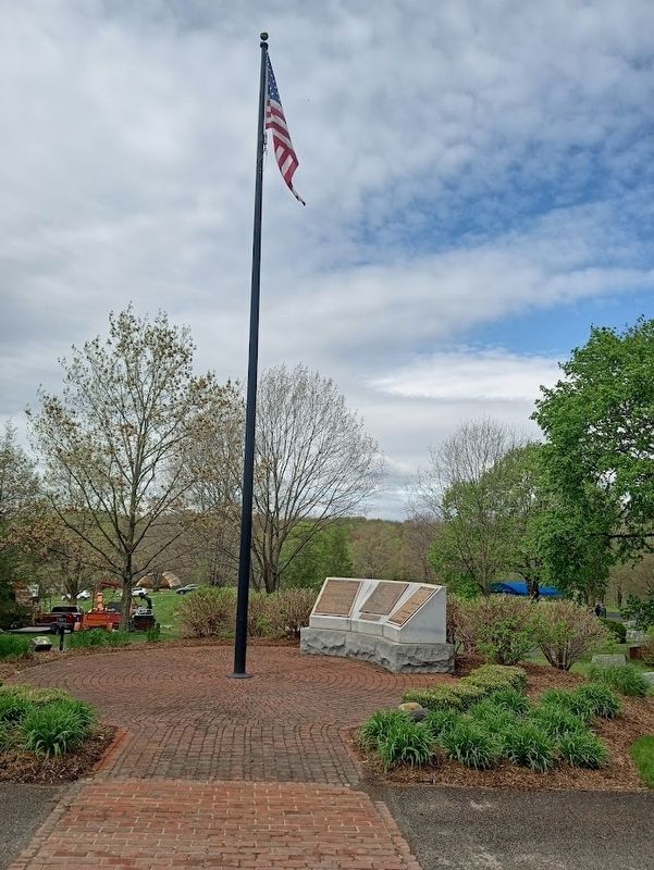
Location. 40° 18.443′ N, 79° 24.914′ W. Marker is in Latrobe, Pennsylvania, in Westmoreland County. Marker can be reached from Chapel Lane west of Unity Cemetery Road. Marker is in Unity Cemetery, near the entrance and chapel. Touch for map. Marker is at or near this postal address: 113 Chapel Ln, Latrobe PA 15650, United States of America. Touch for directions.
Other nearby markers. At least 8 other markers are within 2 miles of this marker, measured as the crow flies. Unity Cemetery (here, next to this marker); Unity School Bell (about 500 feet away, measured in a direct line); Parsonage (approx. ¼ mile away); Site of Sportsman's Hall Log Cabin (approx. 1.3 miles away); Right Reverend Boniface Wimmer, O.S. B. (approx. 1.3 miles away); Saint Vincent (approx. 1.3 miles away); William Findley (approx. 1.6 miles away); Reflections of Latrobe History (approx. 1.7 miles away). Touch for a list and map of all markers in Latrobe.
Credits. This page was last revised on April 19, 2024. It was originally submitted on April 19, 2024, by Jason Voigt of Glen Carbon, Illinois. This page has been viewed 47 times since then. Photos: 1, 2, 3. submitted on April 19, 2024, by Jason Voigt of Glen Carbon, Illinois.


