Bowmanville in Clarington in Durham Region, Ontario — Central Canada (North America)
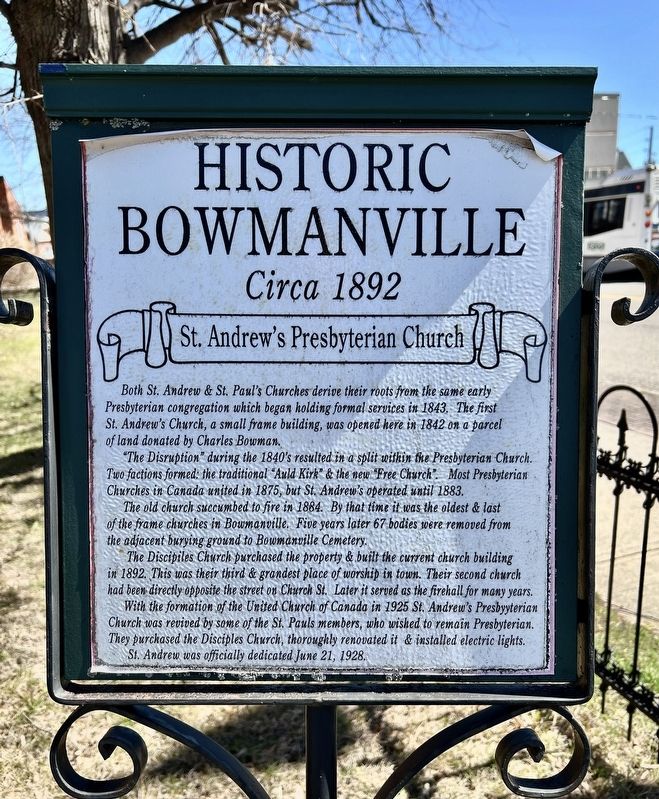
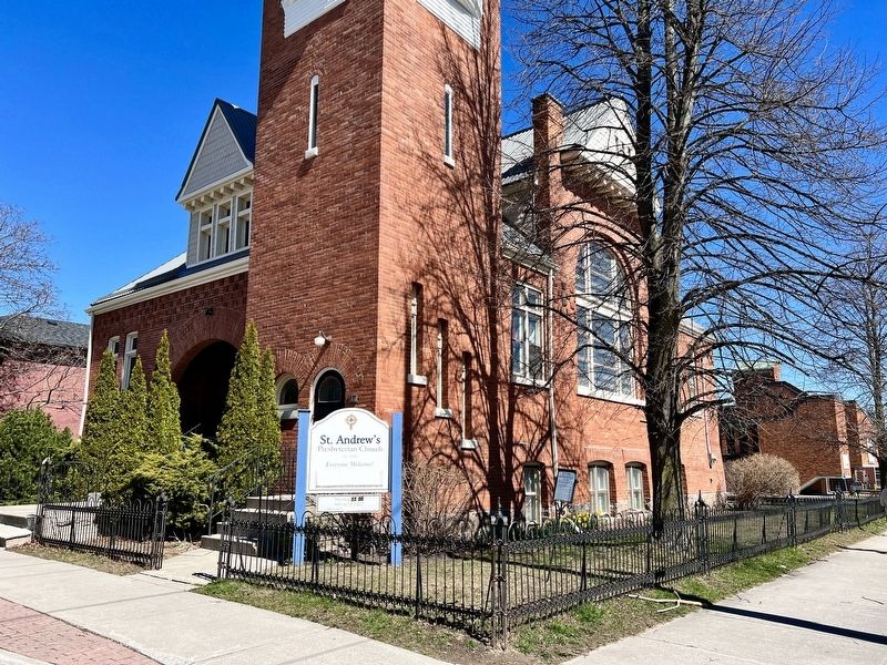
St. Andrew's Presbyterian Church
Historic Bowmanville
— Circa 1892 —
"The Disruption" during the 1840's resulted in a split within the Presbyterian Church. Two factions formed: the traditional "Auld Kirk" & the new "Free Church". Most Presbyterian Churches in Canada united in 1875, but St. Andrew's operated until 1883.
The old church succumbed to fire in 1884. By that time it was the oldest & last of the frame churches in Bowmanville. Five years later 67 bodies were removed from the adjacent burying ground to Bowmanville Cemetery.
The Discipiles Church purchased the property & built the current church building in 1892. This was their third & grandest place of worship in town. Their second church had been directly opposite the street on Church St. Later it served as the firehall for many years. With the formation of the United Church of Canada in 1925 St. Andrew's Presbyterian Church was revived by some of the St. Pauls members, who wished to remain Presbyterian. They purchased the Disciples Church, thoroughly renovated it & installed electric lights. St. Andrew was officially dedicated June 21, 1928.
Topics. This historical marker is listed in these topic lists: Architecture • Churches & Religion. A significant historical year for this entry is 1843.
Location. 43° 54.8′ N, 78° 41.306′ W. Marker is in Clarington, Ontario, in Durham Region. It is in Bowmanville. Marker is at the intersection of Temperance Street and Church Street, on the right when traveling north on Temperance Street. Touch for map. Marker is at or near this postal address: 47 Temperance St, Clarington ON L1C L1C, Canada. Touch for directions.
Other nearby markers. At least 8 other markers are within walking distance of this marker. Clarington Municipal Administration Centre (within shouting distance of this marker); Church and Temperance Street, circa 1880 (within shouting distance of this marker); Rathskamory Estate. Circa 1843 (within shouting distance of this marker); Bowmanville's First Volunteers, W.W. I (within shouting distance of this marker); Market Square, Town Hall & Horsey Block, 1880. (about 90 meters away, measured in a direct line); Lt.-Col. Charles Robert McCullough (about 90 meters away); King Street, Circa 1900 (about 180 meters away); Central Public School Tower Bell (about 180 meters away). Touch for a list and map of all markers in Clarington.
Also see . . . St. Andrew's Presbyterian Church.
A dominant population in the Bowmanville community in the early days was Scots Presbyterian. The Presbyterians began formal worship services in 1834. In 1842 a large frame church was completed on a choice lot on the corner of Church and Temperance Streets. This property was given to the church in 1839 by Charles Bowman, for whom the town was named.(Submitted on April 19, 2024, by Tim Boyd of Hamilton, Ontario.)
Credits. This page was last revised on April 21, 2024. It was originally submitted on April 19, 2024, by Tim Boyd of Hamilton, Ontario. This page has been viewed 35 times since then. Photos: 1, 2. submitted on April 19, 2024, by Tim Boyd of Hamilton, Ontario. • Andrew Ruppenstein was the editor who published this page.

