Liberty in Clay County, Missouri — The American Midwest (Upper Plains)
Interurban Railway Bridge
— [Westboro-Canterbury Greenway Trail] —
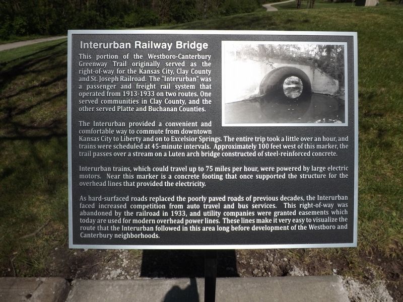
This portion of the Westboro-Canterbury Greenway Trail originally served as the right-of-way for the Kansas City, Clay County and St. Joseph Railroad. The "Interurban" was a passenger and freight rail system that operated from 1913-1933 on two routes. One served communities in Clay County, and the other served Platte and Buchanan Counties.
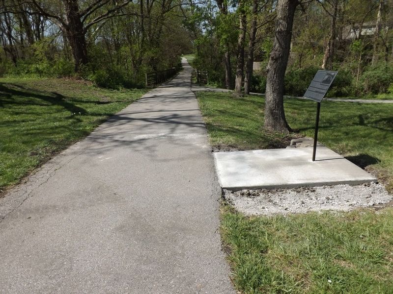
The Interurban provided a convenient and comfortable way to commute from downtown Kansas City to Liberty and on to Excelsior Springs. The entire trip took a little over an hour, and trains were scheduled at 45-minute intervals. Approximately 100 feet west of this marker, the trail passes over a stream on a Luten arch bridge constructed of steel-reinforced concrete.
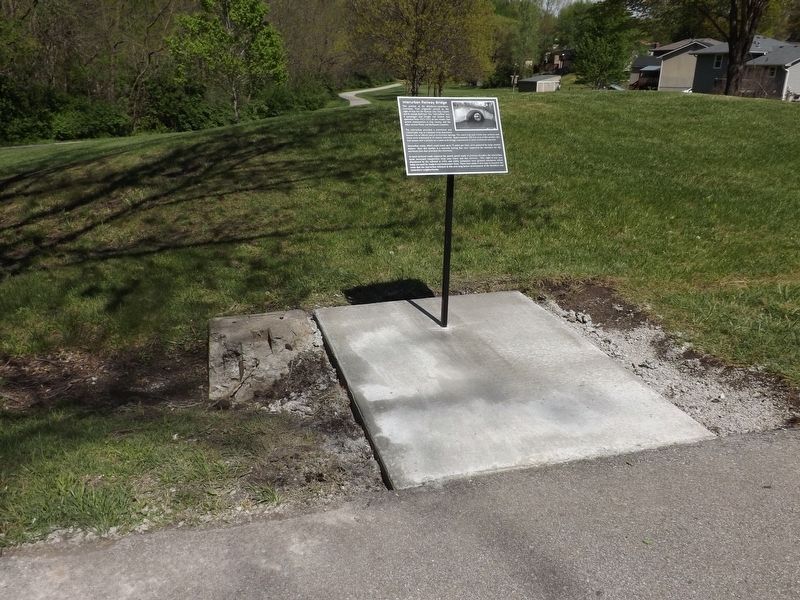
Interurban trains, which could travel up to 75 miles per hour, were powered by large electric motors. Near this marker is a concrete footing that once supported the structure for the overhead lines that provided the electricity.
As hard surface roads replaced the poorly paved roads of previous decades, the Interurban faced increased competition from auto travel and bus services. This right-of-way was abandoned by the railroad in 1933, and utility companies were granted easements which today are used for modern overhead power lines. These lines make it very easy to visualize the route that the Interurban followed in this area long before development of the Westboro and Canterbury neighborhoods.
Erected 2024 by Liberty Parks and Recreation Department.
Topics. This historical marker is listed in this topic list: Railroads & Streetcars. A significant historical year for this entry is 1913.
Location. 39° 13.748′ N, 94° 26.599′ W. Marker is in Liberty, Missouri, in Clay County. Marker can be reached from Park Lane south of Broadmore Lane, on the right when traveling south. The marker stands in the Westboro Canterbury Public Park on the Westboro-Canterbury Greenway Trail. Touch for map. Marker is at or near this postal address: 1456 S Withers Rd, Liberty MO 64068, United States of America. Touch for directions.
Other nearby markers. At least 8 other markers are within 2 miles of this marker, measured as the crow flies. Interurban Railroad - Withers Station (approx. 0.4 miles away); General Alexander William Doniphan (approx. 1.4 miles away); Confederate Soldiers (approx. 1.4 miles away); Col. John Thornton (approx. 1.4 miles away); Lucy A. Ward Love (approx. 1.4 miles away); Replica of the Statue of Liberty (approx. 1.6 miles away); The Liberty Spring (approx. 1.7 miles away); Lewis and Clark Mural (approx. 1.7 miles away). Touch for a list and map of all markers in Liberty.
Credits. This page was last revised on April 21, 2024. It was originally submitted on April 20, 2024, by Tony Meyers of Liberty, Missouri. This page has been viewed 49 times since then. Photos: 1, 2, 3. submitted on April 20, 2024, by Tony Meyers of Liberty, Missouri. • Devry Becker Jones was the editor who published this page.


