Omaha in Douglas County, Nebraska — The American Midwest (Upper Plains)
Omaha Union Station
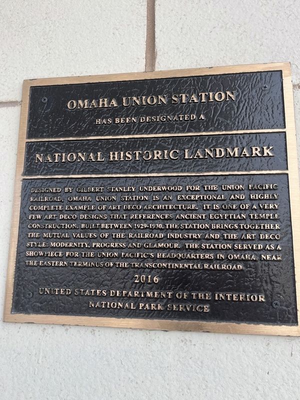
Omaha Union Station has been designated a National Historic Landmark designed by Gilbert Stanley Underwood for the Union Pacific Railroad. Omaha Union Station is an exceptional and highly complete example of Art Deco architecture. It is one of a very few Art Deco designs that reference ancient Egyptian Temple construction. Built between 1929 -1930, the station brings together the mutual values of the railroad industry and the Art Deco style: modernity, progress and glamour. The station served as a showpiece for the Union Pacific's Headquarters in Omaha, near the eastern terminus of the Transcontinental Railroad.
2016
Erected 2016.
Topics. This historical marker is listed in these topic lists: Architecture • Railroads & Streetcars. A significant historical year for this entry is 1929.
Location. 41° 15.089′ N, 95° 55.738′ W. Marker is in Omaha, Nebraska, in Douglas County. Marker is on South 10th Street, on the right when traveling east. Touch for map. Marker is at or near this postal address: 801 S 10th St, Omaha NE, United States of America. Touch for directions.
Other nearby markers. At least 8 other markers are within walking distance of this marker. A different marker also named Omaha Union Station (within shouting distance of this marker); Windsor Hotel (approx. 0.2 miles away); Anheuser-Busch Beer Depot 1887 (approx. ¼ mile away); Omaha Firehouse 1903-1904 (approx. ¼ mile away); Omaha's First Building (approx. ¼ mile away); The Omaha Bolt, Nut and Screw Building (approx. 0.3 miles away); Morse Coe Building (approx. 0.3 miles away); Skinner Macaroni Building 1914-1915 (approx. 0.3 miles away). Touch for a list and map of all markers in Omaha.
Credits. This page was last revised on April 24, 2024. It was originally submitted on April 20, 2024, by Thomas Smith of Waterloo, Ill. This page has been viewed 65 times since then. Photo 1. submitted on April 20, 2024, by Thomas Smith of Waterloo, Ill. • J. Makali Bruton was the editor who published this page.
Editor’s want-list for this marker. A wide view photo of the marker and the surrounding area, including the Station, in context. • Can you help?
