Eastside Promise Neighborhood in San Antonio in Bexar County, Texas — The American South (West South Central)
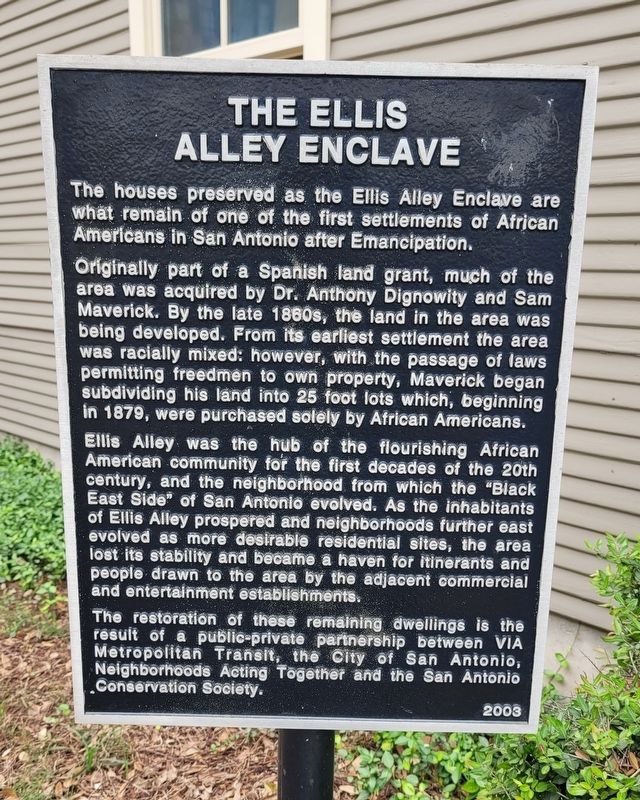
The Ellis Alley Enclave
Originally part of a Spanish land grant, much of the area was acquired by Dr. Anthony Dignowity and Sam Maverick. By the late 1860s, the land in the area was being developed. From its earliest settlement the area was racially mixed: however, with the passage of laws permitting freedmen to own property, Maverick began subdividing his land into 25 foot lots which, beginning in 1879, were purchased solely by African Americans.
Ellis Alley was the hub of the flourishing African American community for the first decades of the 20th century, and the neighborhood from which the "Black East Side" of San Antonio evolved. As the inhabitants of Ellis Alley prospered and neighborhoods further east evolved as more desirable residential sites, the area lost its stability and became a haven for itinerants and people drawn to the area by the adjacent commercial and entertainment establishments.
The restoration of these remaining dwellings is the result of a public-private partnership between VIA Metropolitan Transit, the City of San Antonio, Neighborhoods Acting Together and the San Antonio Conservation Society.
Erected 2003.
Topics. This historical marker is listed in these topic lists: African Americans • Settlements & Settlers. A significant historical year for this entry is 1879.
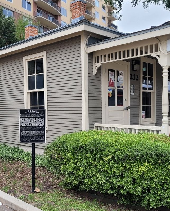
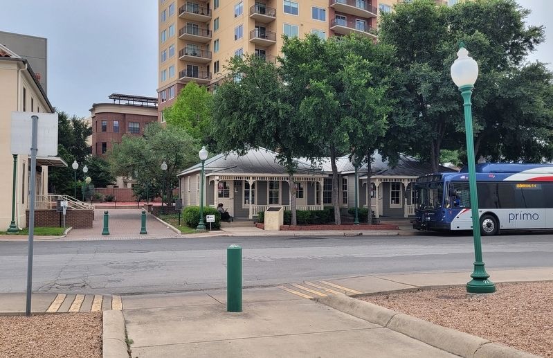
Location. 29° 25.397′ N, 98° 28.784′ W. Marker is in San Antonio, Texas, in Bexar County. It is in the Eastside Promise Neighborhood. Marker is on Chestnut Street south of East Crockett Street. The marker is located to the left of the center building. Touch for map. Marker is at or near this postal address: 212 Chestnut St, San Antonio TX 78202, United States of America. Touch for directions.
Other nearby markers. At least 8 other markers are within walking distance of this marker. Charles B. Shannon (here, next to this marker); The Beacon Light Lodge Hall (here, next to this marker); The Spire (about 400 feet away, measured in a direct line); The Cameo Theater (about 500 feet away); Steam Locomotive No. 794 (approx. 0.2 miles away); Southern Pacific Steam Locomotive No. 794 (approx. 0.2 miles away); Southern Pacific Passenger & Freight Station (approx. 0.2 miles away); G.J. Sutton (approx. 0.2 miles away). Touch for a list and map of all markers in San Antonio.
Credits. This page was last revised on April 21, 2024. It was originally submitted on April 20, 2024, by James Hulse of Medina, Texas. This page has been viewed 46 times since then. Photos: 1, 2, 3. submitted on April 21, 2024, by James Hulse of Medina, Texas.


