Kenora in Kenora District, Ontario — Central Canada (North America)
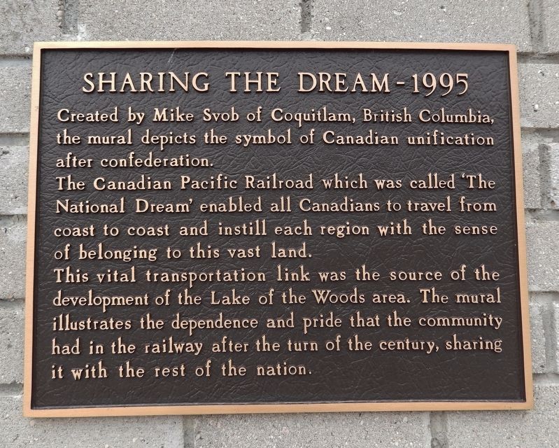
Sharing the Dream — 1995
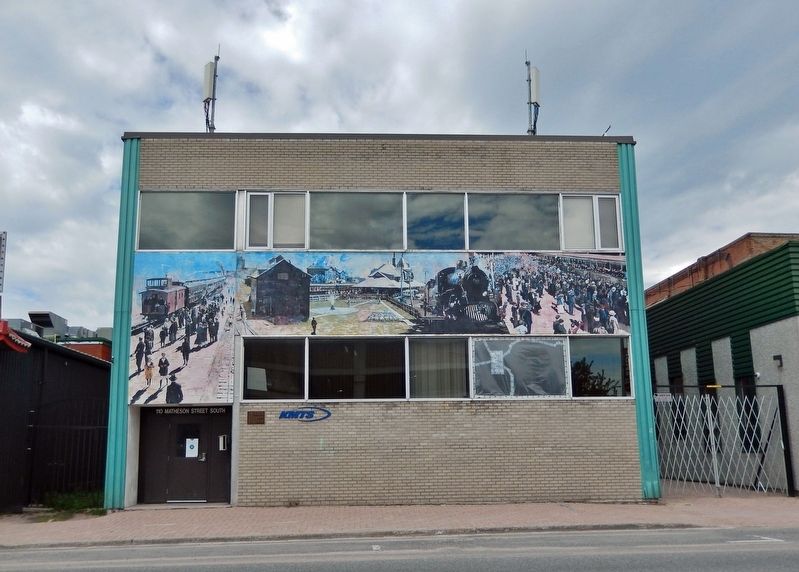
Created by Mike Svob of Coquitlam, British Columbia, the mural depicts the symbol of Canadian unification after confederation.
The Canadian Pacific Railroad which was called “The National Dream” enabled all Canadians to travel from coast to coast and instill each region with the sense of belonging to this vast land.
This vital transportation link was the source of the development of the Lake of the Woods area. The mural illustrates the dependence and pride that the community had in the railway after the turn of the century, sharing it with the rest of the nation.
Topics. This historical marker is listed in these topic lists: Industry & Commerce • Railroads & Streetcars.
Location. 49° 46.014′ N, 94° 29.336′ W. Marker is in Kenora, Ontario, in Kenora District. Marker is on Matheson Street South just south of First Street South, on the right when traveling south. The marker is mounted at eye-level near the southeast corner of the building at this location, facing Matheson Street South. Touch for map. Marker is at or near this postal address: 110 Matheson Street South, Kenora ON P9N 1T8, Canada. Touch for directions.
Other nearby markers. At least 8 other markers are within walking distance of this marker. Games Room (within shouting distance of this marker); Rat Portage (about 90 meters away, measured in a direct line); The Jubilee Parade - 1996 (about 90 meters away); Who We Are — What We Do (about 120 meters away); The Main Street Dock — 1996 (about 150 meters away); Kenora Thistles (about 180 meters away); Flame on the Water — 1995 (about 210 meters away); a different marker also named The Kenora Thistles (about 210 meters away). Touch for a list and map of all markers in Kenora.
Also see . . .
1. The National Dream.
(Lawrence Hartshorne) One of the most intriguing and outstanding achievements in Canadian history occurred between 1871 and 1885, within two decades of Canada's confederation in 1867: the construction of the Canadian Pacific Railway (CPR) across the continent uniting eastern Canada with its newest province, British Columbia, on the Pacific coast. Today we take this railway for granted, but at the time it proved the most vigourous, acclaimed and possibly foolhardy venture possible...(Submitted on April 23, 2024, by Cosmos Mariner of Cape Canaveral, Florida.)
2. The Rail, From Sea to Sea. Excerpt:
Sir John A. Macdonald’s Conservatives won the 1878 election on the promise of a “national policy” calling for completion of the transcontinental railway. The new government approved the Canadian Pacific Railway (CPR) company and provided generous financial support. Given its huge task, however, the CPR teetered repeatedly on the brink of bankruptcy. Ironically, it was an American — William Cornelius Van Horne — who oversaw construction of the “all-Canadian railway” across 5,000 kilometres of forests, prairies and mountains. The railway was completed on November 7, 1885, when CPR director Donald A. Smith drove in the last spike at Craigellachie, British Columbia.(Submitted on April 23, 2024, by Cosmos Mariner of Cape Canaveral, Florida.)
Credits. This page was last revised on April 23, 2024. It was originally submitted on April 22, 2024, by Cosmos Mariner of Cape Canaveral, Florida. This page has been viewed 47 times since then. Photos: 1. submitted on April 22, 2024, by Cosmos Mariner of Cape Canaveral, Florida. 2, 3. submitted on April 23, 2024, by Cosmos Mariner of Cape Canaveral, Florida.


