Findlay in Hancock County, Ohio — The American Midwest (Great Lakes)
The Flood Of 1913
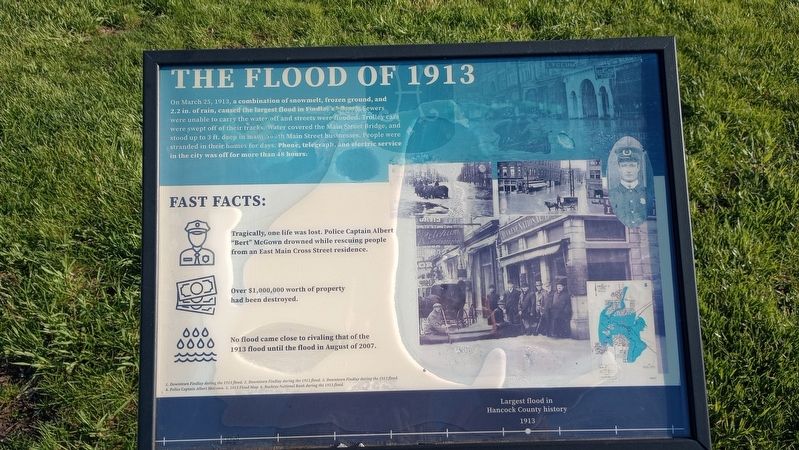
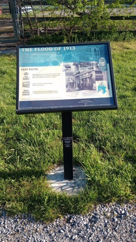
On March 25, 1913, a combination of snowmelt, frozen ground, and 2.2 in. of rain, caused the largest flood in Findlay's biktory Sewers were unable to carry the water off and streets were flooded. Trolley cars were swept off of their tracks. Water covered the Main Street Bridge, and stood up to 3 ft. deep in many South Main Street businesses. People were stranded in their homes for days. Phone, telegraph, and electric service in the city was off for more than 48 hours.
Fast Facts:
Tragically, one life was lost. Police Captain Albert "Bert" McGown drowned while rescuing people from an East Main Cross Street residence.
Over $1,000,000 worth of property had been destroyed.
No flood came close to rivaling that of the 1913 flood until the flood in August of 2007.
[Captions:]
1. Downtown Findlay during the 1913 flood. 2. Downtown Findlay during the 1913 flood. 3. Downtown Findlay during the 1913 flood. 4. Police Captain Albert McGown. 5. 1913 Flood Map. 6. Buckeye National Bank during the 1913 flood.
Largest flood in Hancock County history 1913
Erected by Hancock Historical Museum.
Topics. This historical marker is listed in this topic list: Disasters. A significant historical date for this entry is March 25, 1913.
Location. 41° 2.252′ N, 83° 35.601′ W. Marker is in Findlay, Ohio, in Hancock County. Marker is on County Road 236, 0.1 miles north of Carey Road (State Route 568), on the left when traveling north. Touch for map. Marker is at or near this postal address: 8884 Co Rd 236, Findlay OH 45840, United States of America. Touch for directions.
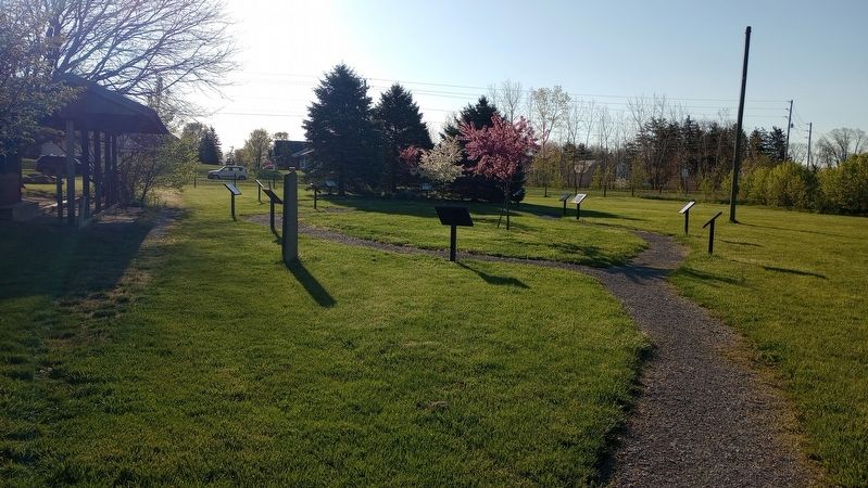
Other nearby markers. At least 8 other markers are within walking distance of this marker. Riverside Park (here, next to this marker); The Roaring 1920s (here, next to this marker); Fort Findlay (a few steps from this marker); How Oil Saved Findlay (a few steps from this marker); Hancock County Joins World War II (a few steps from this marker); Hancock County Underground Railroad (a few steps from this marker); The Mighty Blanchard (a few steps from this marker); Hancock County & The Civil War (a few steps from this marker). Touch for a list and map of all markers in Findlay.
Credits. This page was last revised on April 24, 2024. It was originally submitted on April 23, 2024, by Craig Doda of Napoleon, Ohio. This page has been viewed 40 times since then. Photos: 1, 2, 3, 4. submitted on April 23, 2024, by Craig Doda of Napoleon, Ohio. • Devry Becker Jones was the editor who published this page.


