Stonycreek Township near Stoystown in Somerset County, Pennsylvania — The American Northeast (Mid-Atlantic)
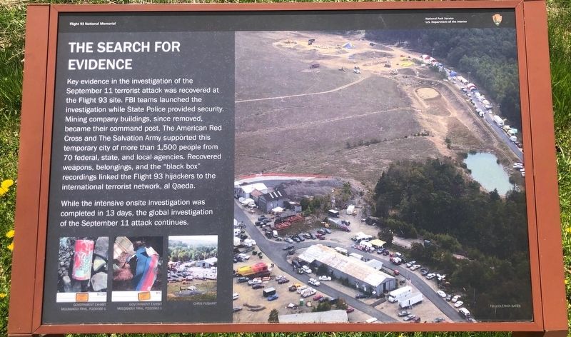
The Search for Evidence
Flight 93 National Memorial
— National Park Service, U.S. Department of the Interior —
Erected by National Park Service.
Topics. This historical marker is listed in these topic lists: 9/11 Attacks • Disasters. A significant historical date for this entry is September 11, 2001.
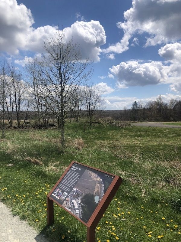
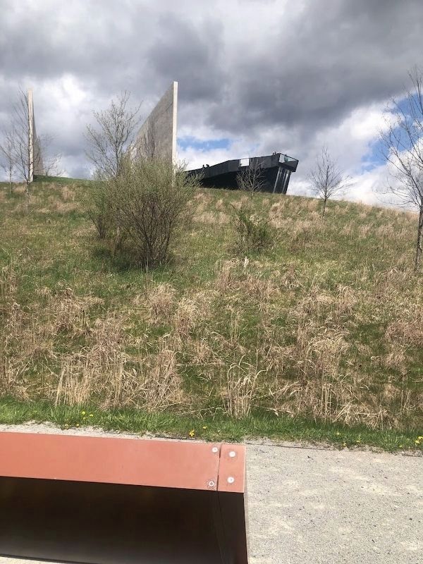
Location. 40° 3.32′ N, 78° 54.393′ W. Marker is near Stoystown, Pennsylvania, in Somerset County. It is in Stonycreek Township. The marker is located at the Flight 93 National Memorial. It is on the pathway between the Visitors Center and the Memorial Plaza. It is about a ¼-mile hike from the bathrooms building near the Visitors Center, and about ½ a mile hike from the Wall of Names. Touch for map. Marker is in this post office area: Stoystown PA 15563, United States of America. Touch for directions.
Other nearby markers. At least 8 other markers are within walking distance of this marker. Flight 93 (within shouting distance of this marker); First View (within shouting distance of this marker); Welcome To Flight 93 National Memorial (about 300 feet away, measured in a direct line); Flight 93 Temporary Memorial (approx. 0.3 miles away); Overlooking History (approx. 0.3 miles away); Flight 93 National Memorial (approx. 0.3 miles away); Crash Site and Debris Field (approx. 0.4 miles away); The Investigation (approx. 0.4 miles away). Touch for a list and map of all markers in Stoystown.
More about this marker. The marker sits in front of the oval driveway that represents one of the last remnants of the mining company buildings that were on the site.
Also see . . . National Park Service: Flight 93 National Memorial. (Submitted on April 24, 2024, by Sean Flynn of Oak Park, Illinois.)
Credits. This page was last revised on April 29, 2024. It was originally submitted on April 24, 2024, by Sean Flynn of Oak Park, Illinois. This page has been viewed 48 times since then. Photos: 1, 2, 3. submitted on April 24, 2024, by Sean Flynn of Oak Park, Illinois.


