Near Cascade in Cascade County, Montana — The American West (Mountains)
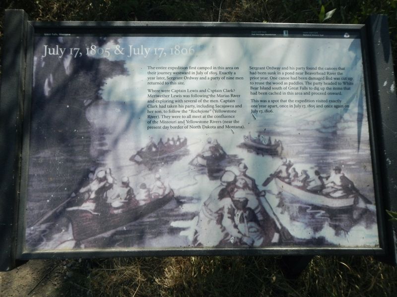
July 17, 1805 & July 17, 1806
Where were Captain Lewis and Captain Clark? Meriwether Lewis was following the Marias River and exploring with several of the men. Captain Clark had taken his party, including Sacajawea and her son, to follow the :Rochejone" (Yellowstone River). They were to all meet at the confluence of the Missouri and Yellowstone Rivers (near the present day border of North Dakota and Montana).
Sergeant Ordway and his party found the canoes that had been sunk in a pond near Beaverhead River the prior year. One canoe had been damaged and was cut up to reuse the wood as paddles. The party headed to White Bear Island south of Great Falls to dig up the items had been cached in this area and proceed onward.
This was the spot that the expedition visited exactly one year apart, once in July 17, 1805 and once again on July 17, 1806.
Erected by Lewis and Clark Trail Heritage Foundation.
Topics. This historical marker is listed in this topic list: Exploration. A significant historical date for this entry is July 17, 1805.
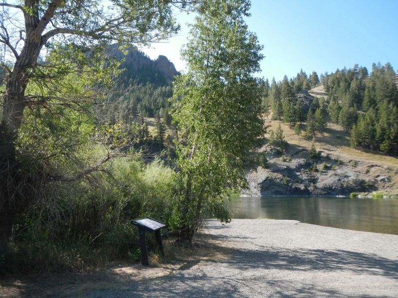
Location. 47° 10.264′ N, 111° 49.602′ W. Marker is near Cascade, Montana , in Cascade County. Marker is on Seibold Lane near Bighorn Sheep Drive. .The marker is located at the Prewett Creek Fishing Access. Touch for map. Marker is in this post office area: Cascade MT 59421, United States of America. Touch for directions.
Other nearby markers. At least 8 other markers are within 5 miles of this marker, measured as the crow flies. The Missouri River Canyon and Old US Highway 91 (approx. 0.8 miles away); A Volcanic Island in the Rocky Mountains (approx. 0.8 miles away); Point of Reference (approx. 1.4 miles away); Sentinel of the Rockies (approx. 1.4 miles away); Transition Terrain (approx. 1.4 miles away); From Too Much to Note Enough (approx. 1.4 miles away); From Indian Trail to Highways (approx. 1.4 miles away); Join the Voyage of Discovery (approx. 4.4 miles away). Touch for a list and map of all markers in Cascade.
Credits. This page was last revised on April 25, 2024. It was originally submitted on April 25, 2024, by Barry Swackhamer of Brentwood, California. This page has been viewed 65 times since then. Photos: 1, 2. submitted on April 25, 2024, by Barry Swackhamer of Brentwood, California.

