Panama City in Bay County, Florida — The American South (South Atlantic)
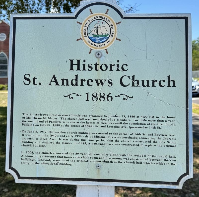
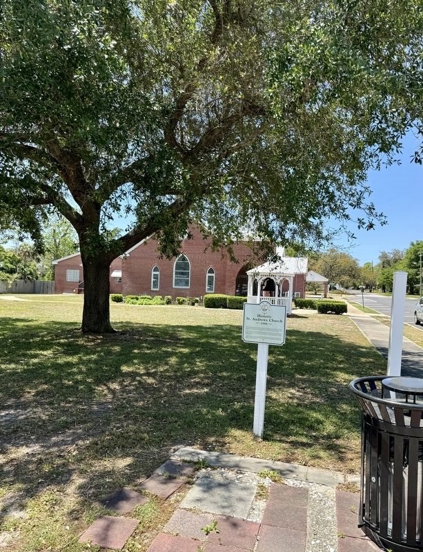
Historic St. Andrews Church
1886
On June 8, 1917, the wooden church building was moved to the corner of 14th St. and Bayview Ave. It wasn't until the 1940's and early 1950's that additional lots were purchased connecting the church's property to Beck Ave. It was during this time period that the church constructed the Boy Scout building and acquired the manse. In 1949, a new sanctuary was constructed to replace the original church building.
In 2008, the church renovated the 59 year-old sanctuary along with the remodel of the social hall. A connecting structure that houses the choir room and classrooms was constructed between the two buildings. The only remains of the original wooden church is the church bell which resides in the belfry of the educational building.
Erected by Historic St. Andrew’s Waterfront Partnership-Panama City.
Topics. This historical marker is listed in this topic list: Churches & Religion. A significant historical date for this entry is September 13, 1886.
Location. 30° 10.411′ N, 85° 42.1′ W. Marker is in Panama City, Florida, in Bay County. Marker is at the intersection of Beck Avenue (Florida Route 30) and West 14th Street, on the right when traveling south on Beck Avenue. Touch for map. Marker is at or near this postal address: 3007 W 14th St, Panama City FL 32401, United States of America. Touch for directions.
Other nearby markers. At least 8 other markers are within walking distance of this marker. The Original Bell (a few steps from this marker); Dunton’s Tastee Freez (within shouting distance of this marker); The Thomas Freeman Home (about 700 feet away, measured in a direct line); Site of the Oaks Hotel which was razed in the 1930s (about 700 feet away); Swann House (approx. 0.2 miles away); Panama City Publishing Company (1920) (approx. 0.3 miles away); The SS Tarpon Anchor (approx. 0.4 miles away); The “Cap’n Scuba” House (approx. 0.4 miles away). Touch for a list and map of all markers in Panama City.
Also see . . .
1. Walk Historic St. Andrews/Panama City. (Submitted on April 25, 2024, by Brandon D Cross of Flagler Beach, Florida.)
2. Historic St. Andrews Waterfront Partnership. (Submitted on April 25, 2024, by Brandon D Cross of Flagler Beach, Florida.)
Credits. This page was last revised on April 26, 2024. It was originally submitted on April 25, 2024, by Brandon D Cross of Flagler Beach, Florida. This page has been viewed 37 times since then. Photos: 1, 2. submitted on April 25, 2024, by Brandon D Cross of Flagler Beach, Florida. • Bernard Fisher was the editor who published this page.

