Palestine in Anderson County, Texas — The American South (West South Central)
Pilgrim Hill Baptist Church
Photographed by James Hulse, April 25, 2024
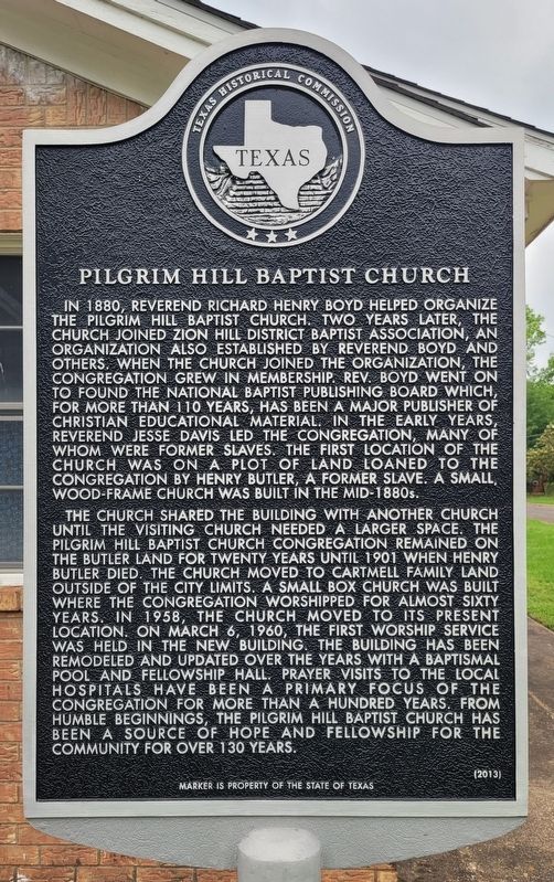
1. Pilgrim Hill Baptist Church Marker
The church shared the building with another church until the visiting church needed a larger space. The Pilgrim Hill Baptist Church congregation remained on the Butler land for twenty years until 1901 when Henry Butler died. The church moved to Cartmell family land outside of the city limits. A small box church was built where the congregation worshipped for almost sixty years. In 1958, the church moved to its present location. On March 6, 1960, the first worship service was held in the new building. The building has been remodeled and updated over the years with a baptismal pool and fellowship hall. Prayer visits to the local hospitals have been a primary focus of the congregation for more than a hundred years. From humble beginnings, the Pilgrim Hill Baptist Church has been a source of hope and fellowship for the community for over 130 years.
Erected 2013 by Texas Historical Commission. (Marker Number 17710.)
Topics. This historical marker is listed in these topic lists: African Americans • Religion & Religious Structures. A significant historical date for this entry is March 6, 1960.
Location. 31° 45.179′ N,
this page online

Regionally, this marker is in the American South and in the Piney Woods. Globally, it is in North America, a Gulf of Mexico state, the Western Hemisphere, the Western World, and the Anglosphere. Historically, it finds itself in what was once New Spain, the Republic of Texas, one of the Confederate States of America, and the Antebellum South.
Other nearby markers. At least 8 other markers are within walking distance of this marker: N. A. Banks Elementary School (approx. ¾ mile away); Pilgrim Rest Baptist Church (approx. 0.9 miles away); Christopher Columbus Rogers (approx. 0.9 miles away); The I&GN Railroad in Palestine (approx. 0.9 miles away); Site of Knox Glass Company Plant (approx. 0.9 miles away); South Union Missionary Baptist Church
Photographed by James Hulse, April 25, 2024
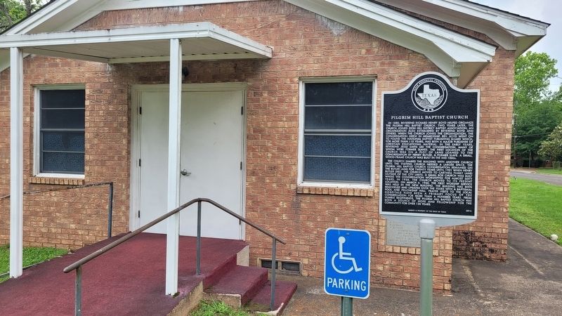
2. The Pilgrim Hill Baptist Church and Marker
Photographed by James Hulse, April 25, 2024
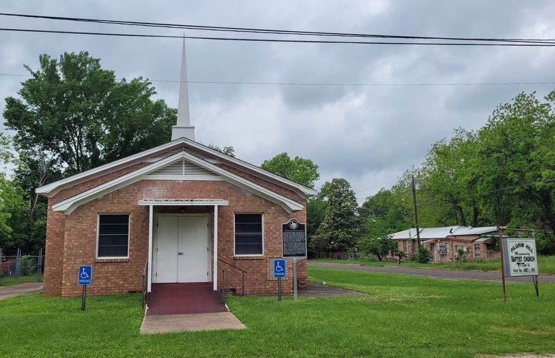
3. The view of the Pilgrim Hill Baptist Church from the street
Credits. This page was last revised on April 30, 2024. It was originally submitted on April 29, 2024, by James Hulse of Medina, Texas. This page has been viewed 385 times since then and 59 times this year. Photos: 1, 2, 3. submitted on April 30, 2024, by James Hulse of Medina, Texas.
