Centerville in Davis County, Utah — The American Mountains (Southwest)
Thomas & Elizabeth Whitaker House
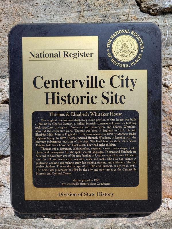
National Register
| — | Centerville City Historic Site | — |
Photographed by Jeremy Snow, May 1, 2024
1. Thomas & Elizabeth Whitaker House Marker
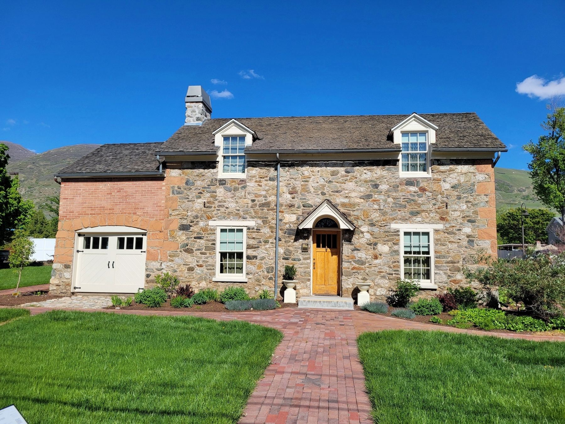
The original one-and-one-half-story stone portion of this house was built c.1862-66 by Charles Duncan, a skilled Scottish stonemason known for building rock structures throughout Centerville and Farmington, and Thomas Whitaker, who did the carpentry work. Thomas was born in England in 1816. He and Elizabeth Mills, born in England in 1839, were married in 1858 by Mormon leader Brigham Young. In 1869 Thomas married Hannah Waddups, in keeping with the Mormon polygamous practices of the time. She lived here for three years before Thomas built her a house two blocks east. They had eight children.
Thomas was a carpenter, cabinetmaker, engraver, carver, tenor singer, violin player, and nurseryman. He also spoke several languages. Thomas and Elizabeth are believed to have been one of the first families in Utah to raise silkworms. Elizabeth spun the silk and made scarfs, neckties, vests, and socks. She also had talents in gardening, cooking, rug making, straw hat making, nursing, and midwifery. She had twelve children. Thomas died at age 70 in 1886 and Elizabeth at age 98 in 1937. The home was purchased in 1994 by the city
this page online
Marker placed in 1997 by Centerville Historic Sites Committee
Division of State History
Erected 1997 by Utah Division of State History.
Topics. This historical marker is listed in this topic list: Settlements & Settlers. A significant historical year for this entry is 1862.
Location. 40° 55.133′ N, 111° 52.722′ W. Marker is in Centerville, Utah, in Davis County. It is on North Main Street, on the right when traveling north. Touch for map. Marker is at or near this postal address: 168 N Main Street, Centerville UT 84014, United States of America. Touch for directions.

Regionally, this marker is in the Wasatch Front and in Greater Salt Lake. It is also in the American Mountain West and on the Colorado Plateau. Globally, it is in North America, the Rocky Mountains, the Western Hemisphere, the Western World, and the Anglosphere. Historically, it finds itself in what was once New Spain and also Mexico’s Alta California.
Other nearby markers. At least 8 other markers are within 2 miles of this marker, measured as the crow flies: Memorial to Centerville Pioneers
Photographed by Jeremy Snow, May 1, 2024
2. Thomas & Elizabeth Whitaker House
Credits. This page was last revised on May 11, 2024. It was originally submitted on May 7, 2024, by Jeremy Snow of Cedar City, Utah. This page has been viewed 571 times since then and 126 times this year. Photos: 1, 2. submitted on May 7, 2024, by Jeremy Snow of Cedar City, Utah. • Andrew Ruppenstein was the editor who published this page.
