Oakley in Cassia County, Idaho — The American West (Mountains)
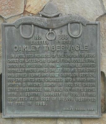
Oakley Tabernacle
Erected 1967 by Daughters of Utah Pioneers, Oakley Cassia Camp. (Marker Number 335.)
Topics and series. This historical marker is listed in this topic list: Churches & Religion. In addition, it is included in the Daughters of Utah Pioneers series list.
Location. 42° 14.553′ N, 113° 53.057′ W. Marker is in Oakley, Idaho, in Cassia County. Marker is on Blaine Avenue near West Main 2000 South, on the left when traveling south. Touch for map. Marker is at or near this postal address: 203 W Main St, Oakley ID 83346, United States of America. Touch for directions.
Other nearby markers. At least 8 other markers are within 17 miles of this marker, measured as the crow flies. Cassia County Jail (a few steps from this marker); City of Rocks (approx. 2.2 miles away); A Pleasant Place (approx. 15.1 miles away); California Trail -- Silent City of Rocks (approx. 15.2 miles away); Distant Views (approx. 15.3 miles away); Fading Away (approx. 15.3 miles away); Pinnacle Pass (approx. 15.7 miles away); California Trail -- Pinnacle Pass (approx. 16.3 miles away). Touch for a list and map of all markers in Oakley.
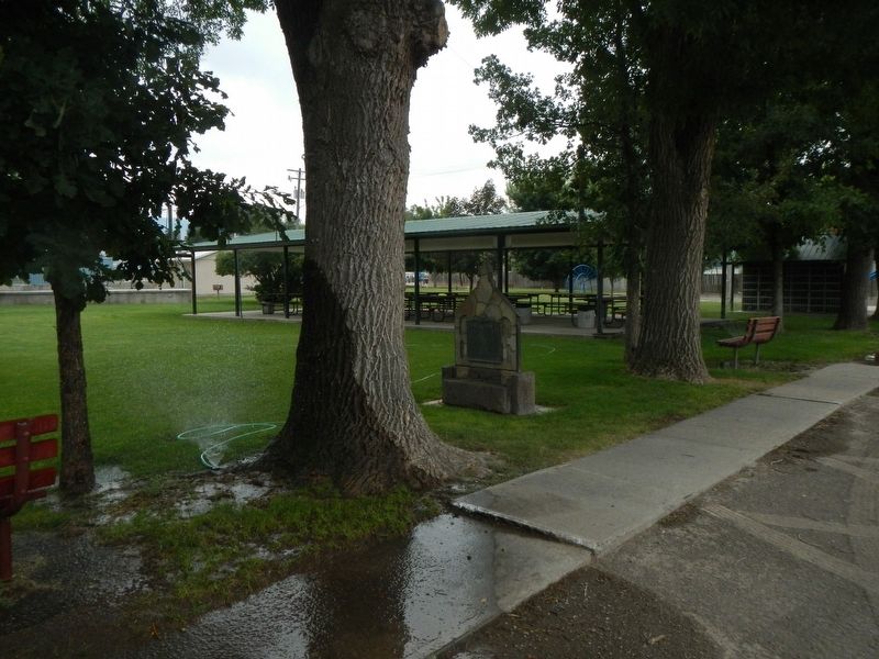
More about this marker. The marker is in Oakley City Park.
Credits. This page was last revised on May 10, 2024. It was originally submitted on August 29, 2019, by Barry Swackhamer of Brentwood, California. This page has been viewed 306 times since then and 49 times this year. Last updated on May 10, 2024, by Jeremy Snow of Cedar City, Utah. Photos: 1, 2. submitted on August 29, 2019, by Barry Swackhamer of Brentwood, California. • Devry Becker Jones was the editor who published this page.

