Lake Isabella in Kern County, California — The American West (Pacific Coastal)
Campsite of Edward Kern
Photographed by Craig Baker
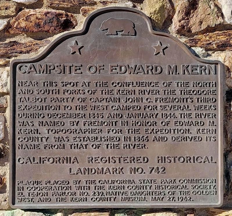
1. Campsite of Edward Kern Marker
Near this spot at the confluence of the north and south forks of the Kern River the Theodore Talbot Party of Captain John C. Fremont’s third expedition to the West camped for several weeks during December 1845 and January 1846. The river was named by Fremont in honor of Edward M. Kern, Topographer for the expedition. Kern County was established in 1866 and derived its name from that of the river.
California Registered Historical Landmark No.742
Erected 1962 by California State Park Commission, Kern County Historical Society. El Tejon Parlor No.239 Native Daughters of the Golden West and the Kern County Museum. (Marker Number 742.)
Topics and series. This historical marker is listed in these topic lists: Exploration • Landmarks • Notable Places. In addition, it is included in the California Historical Landmarks, and the Native Sons/Daughters of the Golden West series lists. A significant historical month for this entry is January 1846.
Location. 35° 38.975′ N, 118° 27.494′ W. Marker is in Lake Isabella, California, in Kern County. It is on California Route 178, on the left when traveling east. Marker is located at the
this page online

Regionally, this marker is in California’s San Joaquin Valley, specifically in the Central Valley, and in the Sierra Nevada. It is also on the American Pacific Coast. Globally, it is in North America, on the Ring of Fire, on the Pacific Rim, in the Western Hemisphere, in the Western World, and in the Anglosphere. Historically, it finds itself in what was once New Spain and also Mexico’s Alta California.
Other nearby markers. At least 8 other markers are within 5 miles of this marker, measured as the crow flies: Old Isabella (here, next to this marker); USS Arizona (approx. 3.2 miles away); Keyesville (approx. 3.4 miles away); Silver City Ghost Town (approx. 4 miles away); Havilah (approx. 4.6 miles away); Old Kernville (approx. 4.8 miles away); Kernville Veterans Memorial (approx. 5 miles away); Kernville (approx. 5 miles away). Touch for a list and map of all markers in Lake
Photographed by Syd Whittle, November 28, 2009
2. Campsite of Edward Kern Marker
Regarding Campsite of Edward Kern. This site was designated California Historical Landmark No. 742 on July 5, 1960.
Also see . . .
1. James Theodore Talbot. A very detailed account of the life of James Talbot. (Submitted on December 4, 2009, by Syd Whittle of Mesa, Arizona.)
2. John C. Fremont. Civil War St. Louis website entry (Submitted on December 4, 2009, by Syd Whittle of Mesa, Arizona.)
3. The Kern River Valley: Colorful Valley History. Southern Sierra properties website entry. (Submitted on December 4, 2009, by Syd Whittle of Mesa, Arizona.)
Additional commentary.
1. Walker Pass
Joseph Reddeford Walker was a trapper, explorer, frontier sheriff and Indian fighter. He was the discoverer of Walker Pass is 1834 while returning from a trapping trip to California.
In 1845, he guided the John C. Fremont’s third expedition through Walker Pass and what was later named the Kern River Canyon. The two men parted ways over a bitter disagreement. Fremont refused to go along with Walker to battle with the Mexican troops mobilized to drive the American explorers out of the Salinas

Photographed by Craig Baker
3. Campsite of Edward Kern Marker
— Submitted December 4, 2009, by Syd Whittle of Mesa, Arizona.
Photographed by Syd Whittle, November 28, 2009
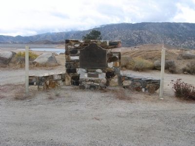
4. Campsite of Edward Kern Marker
The small lower plaque located below the marker is the Old Isabella marker.
Photographed by Craig Baker
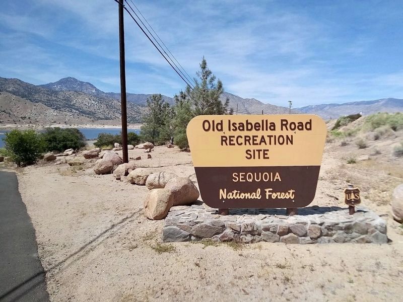
5. Old Isabella Road Recreation Site
Photographed by Syd Whittle, November 27, 2009
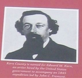
6. Edward Kern
This photo of Edward Kern is displayed on The Kern County Begins marker located at the Kern County Museum in Bakersfield.
Credits. This page was last revised on June 2, 2026. It was originally submitted on December 4, 2009, by Syd Whittle of Mesa, Arizona. This page has been viewed 2,166 times since then and 55 times this year. Photos: 1. submitted on June 2, 2026, by Craig Baker of Sylmar, California. 2. submitted on December 4, 2009, by Syd Whittle of Mesa, Arizona. 3. submitted on June 2, 2026, by Craig Baker of Sylmar, California. 4. submitted on December 4, 2009, by Syd Whittle of Mesa, Arizona. 5. submitted on June 2, 2026, by Craig Baker of Sylmar, California. 6. submitted on December 6, 2009, by Syd Whittle of Mesa, Arizona.
Editor’s want-list for this marker. New photos. • Can you help?
