West Nyack in Rockland County, New York — The American Northeast (Mid-Atlantic)
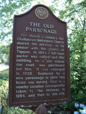
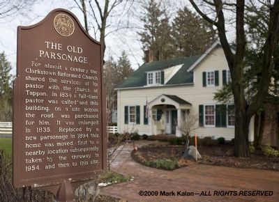
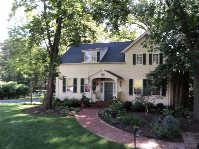
The Old Parsonage
Erected by Historical Society of Rockland County.
Topics and series. This historical marker is listed in these topic lists: Churches & Religion • Notable Buildings. In addition, it is included in the New York, Historical Society of Rockland County series list. A significant historical year for this entry is 1834.
Location. 41° 6.095′ N, 73° 58.351′ W. Marker is in West Nyack, New York, in Rockland County. Marker is on Strawtown Road just north of New York State Thruway (Interstate 87), on the right when traveling north. Touch for map. Marker is at or near this postal address: 106 Strawtown Rd, West Nyack NY 10994, United States of America. Touch for directions.
Other nearby markers. At least 8 other markers are within walking distance of this marker. West Nyack World War I Memorial (within shouting distance of this marker); Clarkstown Reformed Church (within shouting distance of this marker); Washington’s Encampment (approx. 0.2 miles away); Pye's Corner (approx. 0.2 miles away); Colonial Clarkstown (approx. 0.2 miles away); West Nyack's Last Horse Trough (approx. ¼ mile away); Clarksville Inn (approx. half a mile away); Clarksville (approx. half a mile away). Touch for a list and map of all markers in West Nyack.
Credits. This page was last revised on June 16, 2016. It was originally submitted on January 4, 2010, by Mark Kalan of Valley Cottage, New York. This page has been viewed 2,866 times since then and 41 times this year. Photos: 1. submitted on July 5, 2011, by Bill Coughlin of Woodland Park, New Jersey. 2. submitted on January 4, 2010, by Mark Kalan of Valley Cottage, New York. 3, 4. submitted on July 5, 2011, by Bill Coughlin of Woodland Park, New Jersey. • Kevin W. was the editor who published this page.


