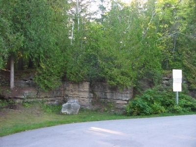
Near Jacksonport in Door County, Wisconsin — The American Midwest (Great Lakes)
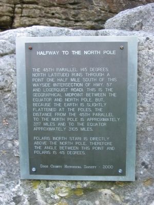
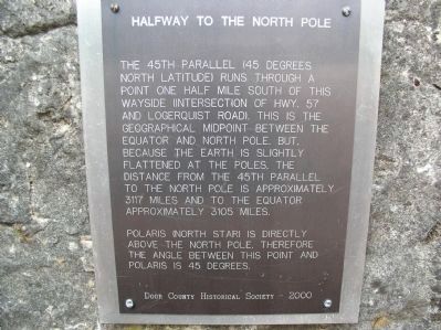
Halfway to the North Pole
Polaris (North Star) is directly above the North Pole. Therefore, the angle between this point and Polaris is 45 degrees.
Door County Historical Society – 2000
Erected 2000 by the Door County Historical Society.
Topics. This historical marker is listed in this topic list: Notable Places.
Location. 45° 0.26′ N, 87° 10.007′ W. Marker is near Jacksonport, Wisconsin, in Door County. Marker can be reached from State Highway 57, on the left when traveling north. Marker is at a wayside. Touch for map. Marker is at or near this postal address: 6799 State Highway 57, Baileys Harbor WI 54202, United States of America. Touch for directions.
Other nearby markers. At least 8 other markers are within 4 miles of this marker, measured as the crow flies. Town of Jacksonport (approx. 2 miles away); Anchor & Capstan (approx. 2 miles away); Reynolds' Pier (approx. 2 miles away); Erskine Root Cellar (approx. 2 miles away); The Episcopal Church of the Holy Nativity (approx. 2.1 miles away); St. Michael the Archangel (approx. 2.2 miles away); Jacksonport United Methodist Church (approx. 2˝ miles away); Zion Evangelical Lutheran Church (approx. 3.8 miles away). Touch for a list and map of all markers in Jacksonport.
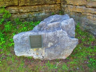
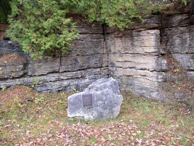
More about this marker. There are two virtually identical markers. This one, along State Highway 57, and another along State Highway 42 south of Egg Harbor.
Credits. This page was last revised on October 14, 2021. It was originally submitted on January 28, 2009, by Keith L of Wisconsin Rapids, Wisconsin. This page has been viewed 2,641 times since then and 67 times this year. Last updated on January 20, 2010. Photos: 1. submitted on January 28, 2009, by Keith L of Wisconsin Rapids, Wisconsin. 2. submitted on August 20, 2012, by Chris Simpson of Merritt Island, Florida. 3. submitted on July 21, 2012, by Bob (peach) Weber of Dewey, Arizona. 4. submitted on August 20, 2012, by Chris Simpson of Merritt Island, Florida. 5. submitted on January 28, 2009, by Keith L of Wisconsin Rapids, Wisconsin. • Kevin W. was the editor who published this page.
