Near Egg Harbor in Door County, Wisconsin — The American Midwest (Great Lakes)
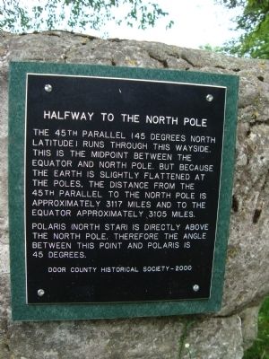
Halfway to the North Pole
Photographed by Brian Mensching, June 22, 2009
1. Halfway to the North Pole Marker
Polaris (North Star) is directly above the North Pole. Therefore the angle between this point and Polaris is 45 degrees.
Door County Historical Society – 2000
Erected 2000 by Door County Historical Society.
Topics. This historical marker is listed in this topic list: Notable Places.
Location. 44° 59.851′ N, 87° 18.931′ W. Marker is near Egg Harbor, Wisconsin, in Door County. It can be reached from Egg Harbor Road (State Highway 42) north of Wayside Road, on the right when traveling south. Marker is at a wayside. Touch for map. Marker is in this post office area: Egg Harbor WI 54209, United States of America. Touch for directions.

Regionally, this marker is on the Door Peninsula. It is also in the American Midwest and in the Corn Belt.
this page online
Other nearby markers. At least 8 other markers are within 7 miles of this marker, measured as the crow flies: Site of Carlsville School District No. 3 (approx. 3.3 miles away); Zion Evangelical Lutheran Church (approx. 3½ miles away); Egg Harbor (approx. 4 miles away); Cupola House (approx. 4.1 miles away); The Episcopal Church of the Holy Nativity (approx. 6 miles away); Jacksonport United Methodist Church (approx. 6.3 miles away); St. Michael the Archangel (approx. 6½ miles away); Erskine Root Cellar (approx. 6½ miles away). Touch for a list and map of all markers in Egg Harbor.
More about this marker. There are two virtually identical markers. This one, along State Highway 42, and another along State Highway 57 north of Jacksonport. Please see the "Other nearby markers" section for a link to the other marker.
Also see . . . The 45th Parallel. Jacksonport plaque,
Photographed by Bob (peach) Weber, July 20, 2012
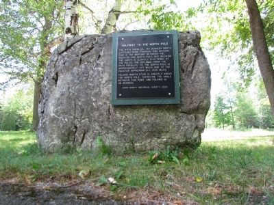
2. Halfway to the North Pole Marker
Photographed by Bob (peach) Weber, July 20, 2012
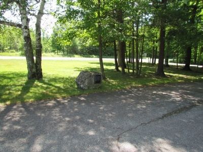
3. Marker and wayside
Credits. This page was last revised on August 12, 2021. It was originally submitted on January 21, 2010, by Keith L of Wisconsin Rapids, Wisconsin. This page has been viewed 3,616 times since then and 108 times this year. Photos: 1. submitted on January 22, 2010. 2, 3. submitted on July 21, 2012, by Bob (peach) Weber of Dewey, Arizona. • Kevin W. was the editor who published this page.
