Sugar Land in Fort Bend County, Texas — The American South (West South Central)
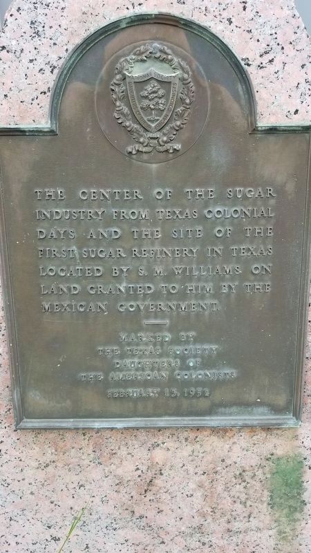
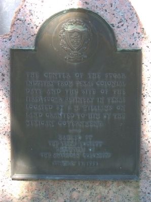
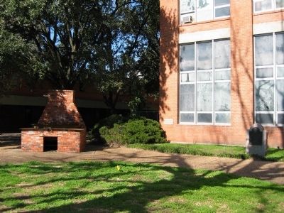
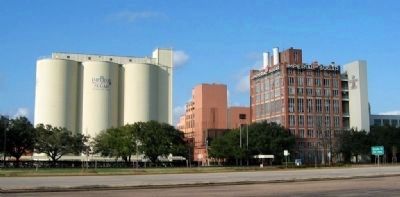
Sugar Land Refinery
Erected 1952 by The Texas Society Daughters of the American Colonists.
Topics and series. This historical marker is listed in this topic list: Industry & Commerce. In addition, it is included in the Daughters of the American Colonists series list.
Location. 29° 37.231′ N, 95° 38.152′ W. Marker is in Sugar Land, Texas, in Fort Bend County. Marker is on Sugar Land Street, 0 miles west of Brooks Street, on the right when traveling west. Touch for map. Marker is in this post office area: Sugar Land TX 77478, United States of America. Touch for directions.
Other nearby markers. At least 8 other markers are within 4 miles of this marker, measured as the crow flies. Sugar Land High School World War II Memorial (approx. 0.3 miles away); In Honor of Lonnie Green (approx. 0.4 miles away); Sugar Land Independent School District No. 17 (approx. 0.4 miles away); Sugar Land First United Methodist Church (approx. 1.2 miles away); Texas Prison System Central State Farm Main Building (approx. 1.7 miles away); Imperial Prison Farm Cemetery (approx. 1.7 miles away); Hodge's Bend Cemetery (approx. 2.1 miles away); Paschal Paolo Borden (approx. 3.1 miles away). Touch for a list and map of all markers in Sugar Land.
Credits. This page was last revised on September 15, 2020. It was originally submitted on February 20, 2010, by Gregory Walker of La Grange, Texas. This page has been viewed 1,529 times since then and 34 times this year. Photos: 1. submitted on September 14, 2020, by James Hulse of Medina, Texas. 2, 3. submitted on February 20, 2010, by Gregory Walker of La Grange, Texas. 4. submitted on March 10, 2010, by Gregory Walker of La Grange, Texas. • Bill Pfingsten was the editor who published this page.


