Near Sardinia in Clarendon County, South Carolina — The American South (South Atlantic)
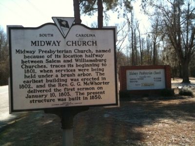
Midway Church
Erected 1970 by Clarendon County Historical Commission. (Marker Number 14-2.)
Topics. This historical marker is listed in this topic list: Churches & Religion. A significant historical month for this entry is January 1917.
Location. 33° 46.006′ N, 80° 2.201′ W. Marker is near Sardinia, South Carolina, in Clarendon County. Marker is on State Highway 527, on the left when traveling north. Touch for map. Marker is in this post office area: New Zion SC 29111, United States of America. Touch for directions.
Other nearby markers. At least 8 other markers are within 9 miles of this marker, measured as the crow flies. Captain William Henry Mouzon (approx. 6.4 miles away); Pleasent Grove School (approx. 6.8 miles away); Revolutionary Skirmish Near Tearcoat Branch (approx. 6.9 miles away); Turbeville R.R. Depot (approx. 8.6 miles away); The Burning of Mouzon's Home by his "Friend" (approx. 8.6 miles away); Turpentine Still (approx. 8.6 miles away); Battle of Tearcoat (approx. 8.6 miles away); Puddin’ Swamp 1776 – The Frontier (approx. 8.6 miles away).
Photographed By Cindy Bullard, February 20, 2010
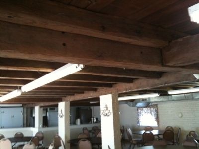
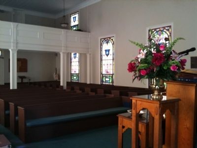
3. Inside Midway Church
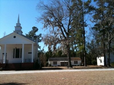
Midway Church was built across a dirt road from its present location. When SC 527 was paved the congregation moved the church, but the church was not rotated during the move. So, the entrance is behind the pulpit facing the pews. The "front" porch was added after the church was moved.
Credits. This page was last revised on June 16, 2016. It was originally submitted on February 21, 2010, by David Bullard of Seneca, South Carolina. This page has been viewed 1,308 times since then and 79 times this year. Photos: 1, 2, 3, 4, 5, 6. submitted on February 21, 2010, by David Bullard of Seneca, South Carolina. • Craig Swain was the editor who published this page.
