East Shore near New Haven in New Haven County, Connecticut — The American Northeast (New England)
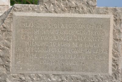
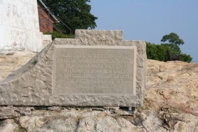
Near This Spot
British troops under Gen. Tryon
of New York landed July 5, 1779
intending to burn New Haven.
The opposing force became so large
that the British retreated to their
boats on July 7.
Topics. This historical marker is listed in these topic lists: Military • War, US Revolutionary. A significant historical date for this entry is July 5, 1861.
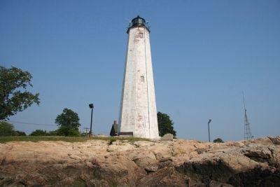
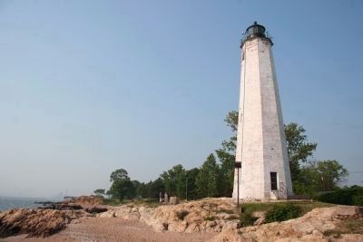
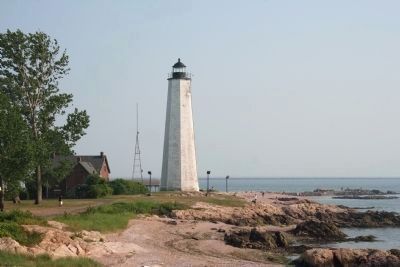
Location. 41° 14.94′ N, 72° 54.234′ W. Marker is near New Haven, Connecticut, in New Haven County. It is in East Shore. If traveling on Interstate 95 to see this historic marker, take Exit 50 to Highway 337. Then proceed south on 337 for 2.2 miles. Turn right onto Lighthouse Road and continue to Lighthouse Point Park, where you will find the Five Mile Point Lighthouse. This historical marker is located in Lighthouse Point Park, just west of the lighthouse, between the lighthouse and the near shoreline. Touch for map. Marker is in this post office area: East Haven CT 06512, United States of America. Touch for directions.
Other nearby markers. At least 8 other markers are within 2 miles of this marker, measured as the crow flies. The Butterfly Garden at Lighthouse Point Park (within shouting distance of this marker); How Can I Help the Sound? (within shouting distance of this marker); So Who Lives Here, Anyway? (within shouting distance of this marker); Winged Migration (within shouting distance of this marker); Roll of Honor (approx. one mile away); In Memory of George Pardee (approx. 1.1 miles away); Fort Nathan Hale (approx. 1½ miles away); Patriots of New Haven Memorial (approx. 1½ miles away). Touch for a list and map of all markers in New Haven.
Also see . . . Wikipedia Entry. “The fleet sailed from New York on July 3, and reached New Haven two days later. Immediately disembarking, Garth’s division rapidly gained control of New Haven, and went to work. Although Tryon had given orders that included burning the town, Garth did not do this; he limited his activities to destroying public stores, and seizing or destroying the town’s armaments and ships in the harbor. Tryon’s division landed in East Haven, Connecticut, where it met spirited resistance from a band of local militia, but managed to take Black Rock Fort. In addition to destroying barns filled with grain, Tryon had local manor houses put to the torch. By the time the British withdrew, over 1,000 militia had mustered from the surrounding towns.” (Submitted on June 30, 2018.)
Credits. This page was last revised on February 10, 2023. It was originally submitted on March 1, 2010, by Dale K. Benington of Toledo, Ohio. This page has been viewed 1,221 times since then and 19 times this year. It was the Marker of the Week July 1, 2018. Photos: 1. submitted on March 2, 2010, by Dale K. Benington of Toledo, Ohio. 2, 3. submitted on March 3, 2010, by Dale K. Benington of Toledo, Ohio. 4, 5. submitted on March 2, 2010, by Dale K. Benington of Toledo, Ohio. 6. submitted on October 4, 2022, by D Howitt of Bergen County, New Jersey.
