Selma in Fresno County, California — The American West (Pacific Coastal)
Selma
Inscription.
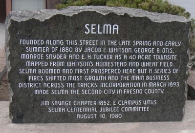
Founded along this street in the late spring and early summer of 1880 by Jacob E. Whitson, George B. Otis, Monroe Snyder and E. H. Tucker as a 40 acre townsite mapped from Whitson's homestead and wheat field. Selma boomed and first prospered here but a series of fires shifted most growth and the main business district across the tracks. Incorporation in March 1893 made Selma the second city in Fresno County.
Selma Centennial Jubilee Committee
August 10, 1980
Erected 1980. (Marker Number 24.)
Topics and series. This historical marker is listed in this topic list: Settlements & Settlers. In addition, it is included in the E Clampus Vitus series list. A significant historical month for this entry is March 1893.
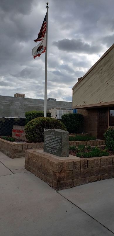
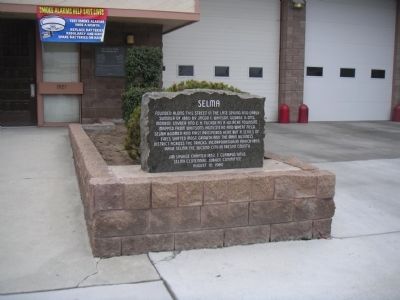
Location. 36° 34′ N, 119° 36.767′ W. Marker is in Selma, California, in Fresno County. Marker is on West Front Street near 2nd Street, on the right. Located in front of the fire station on Front Street. Touch for map. Marker is at or near this postal address: 1938 West Front Street, Selma CA 93662, United States of America. Touch for directions.
Other nearby markers. At least 8 other markers are within 6 miles of this marker, measured as the crow flies. Frank Dusy (approx. 0.2 miles away); Libby, McNeill and Libby Cannery (approx. half a mile away); Groundwater Irrigation Beginnings (approx. 1.4 miles away); The History of the Town Kingsburg (approx. 4.9 miles away); Fred French (approx. 4.9 miles away); George Boyle (approx. 4.9 miles away); The Historic Kingsburg Jail (approx. 4.9 miles away); Fowler's Switch (approx. 5.7 miles away). Touch for a list and map of all markers in Selma.
More about this marker. Ironically, since most of this area burned down after the settlement was started, the marker is now located at a fire station.
Credits. This page was last revised on January 31, 2019. It was originally submitted on March 4, 2010, by Lester J Letson of Fresno, California. This page has been viewed 1,715 times since then and 59 times this year. Photos: 1. submitted on March 4, 2010, by Lester J Letson of Fresno, California. 2. submitted on January 21, 2019, by Mandy Kirby of Clovis, California. 3. submitted on March 4, 2010, by Lester J Letson of Fresno, California. 4. submitted on March 14, 2010, by Lester J Letson of Fresno, California. • Syd Whittle was the editor who published this page.


