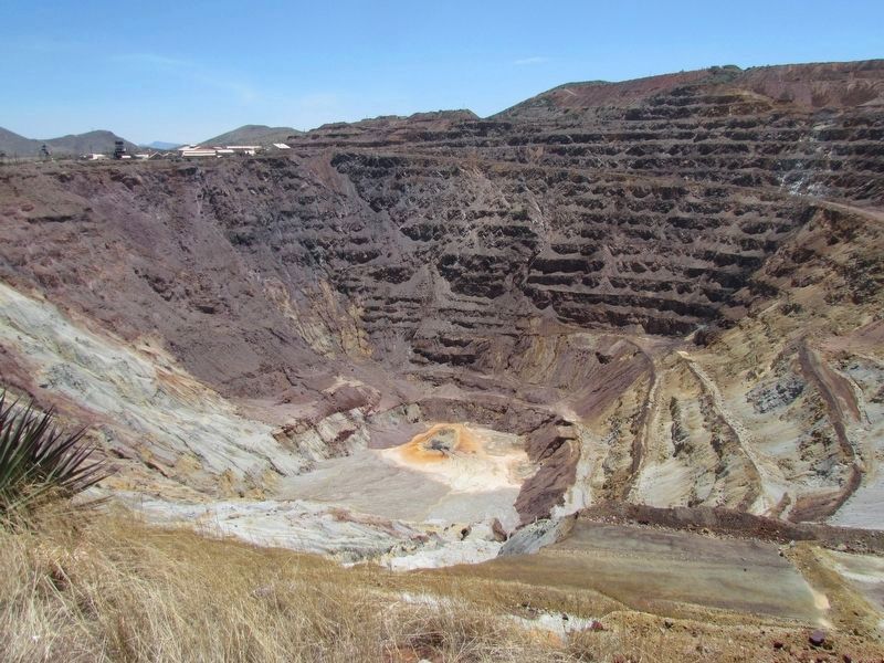
Bisbee in Cochise County, Arizona — The American Mountains (Southwest)
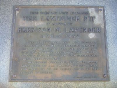
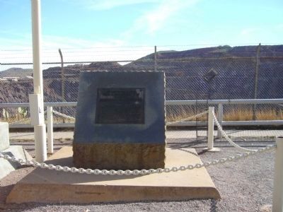
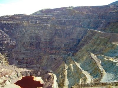
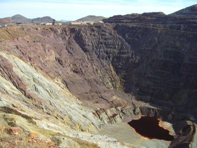
The Lavender Pit
The Lavender Pit
In honor of
Harrison M. Lavender
1890 – 1952
His dynamic leadership, his comprehensive knowledge of all phases of mining will continue to be an inspiration to his fellow engineers.
Erected 1954.
Topics. This historical marker is listed in these topic lists: Industry & Commerce • Natural Resources. A significant historical year for this entry is 1890.
Location. 31° 26.152′ N, 109° 54.028′ W. Marker is in Bisbee, Arizona, in Cochise County. Marker is on Arizona Route 80 at milepost 343, on the right when traveling east. Touch for map. Marker is in this post office area: Bisbee AZ 85603, United States of America. Touch for directions.
Other nearby markers. At least 8 other markers are within 3 miles of this marker, measured as the crow flies. City of Bisbee Warrior Memorial (approx. ¾ mile away); The Importance Of Copper Mining (approx. 0.8 miles away); Bisbee City Fire Hall (approx. 0.8 miles away); Brewery Gulch (approx. 0.9 miles away); Phelps Dodge General Office Building (approx. 0.9 miles away); Copper Queen Plaza (approx. 0.9 miles away); Walter Douglas House (approx. 1.8 miles away); The Warren Ball Park (approx. 2.1 miles away). Touch for a list and map of all markers in Bisbee.
Additional keywords. Mining
Credits. This page was last revised on May 9, 2017. It was originally submitted on March 7, 2010, by Bill Kirchner of Tucson, Arizona. This page has been viewed 1,382 times since then and 21 times this year. Photos: 1, 2, 3, 4. submitted on March 7, 2010, by Bill Kirchner of Tucson, Arizona. 5. submitted on May 9, 2017, by Bob (peach) Weber of Dewey, Arizona. • Syd Whittle was the editor who published this page.
