Annapolis in Anne Arundel County, Maryland — The American Northeast (Mid-Atlantic)
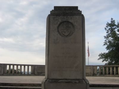
Albert Cabell Ritchie
Topics. This historical marker is listed in this topic list: Government & Politics. A significant historical year for this entry is 1876.
Location. 38° 59.91′ N, 76° 28.903′ W. Marker is in Annapolis, Maryland, in Anne Arundel County. Marker can be reached from Ritchie Highway (Maryland Route 450) 0.3 miles Waveland Farms Road, in the median. Marker/monument is located within overlook plaza that has a small parking lot in the median of Ritchie Highway. Touch for map. Marker is at or near this postal address: 1919 Ritchie Hwy, Annapolis MD 21409, United States of America. Touch for directions.
Other nearby markers. At least 8 other markers are within walking distance of this marker. Prisoner of War Memorial (a few steps from this marker); Pearl Harbor Survivors Association (within shouting distance of this marker); Battle of the Severn (within shouting distance of this marker); Maryland World War II Memorial (within shouting distance of this marker); Gold Star Families Monument (about 500 feet away, measured in a direct line); Jonas and Anne Catherine Green Park (approx. ¼ mile away); Providence - 1649 (approx. 0.3 miles away); Standing Guard (approx. 0.3 miles away). Touch for a list and map of all markers in Annapolis.

Photographed By F. Robby, October 10, 2007
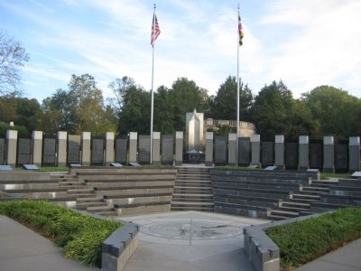
2. View from the Marker
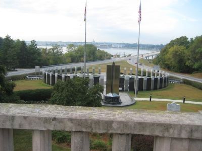
Most of the buildings across the Severn River are within the U.S. Naval Academy. The top of the Maryland State House can be seen between the flag poles, slightly right of center. The Naval Academy bridge on the right takes you into the heart of historic Annapolis.
Credits. This page was last revised on November 21, 2019. It was originally submitted on October 10, 2007, by F. Robby of Baltimore, Maryland. This page has been viewed 1,678 times since then and 27 times this year. Photos: 1, 2, 3. submitted on October 10, 2007, by F. Robby of Baltimore, Maryland. • J. J. Prats was the editor who published this page.

