Near Needles in San Bernardino County, California — The American West (Pacific Coastal)
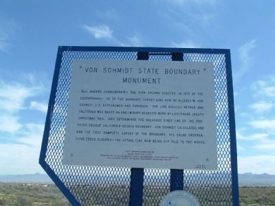
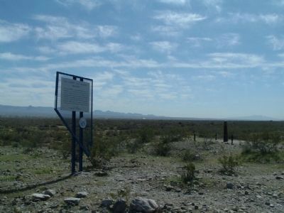
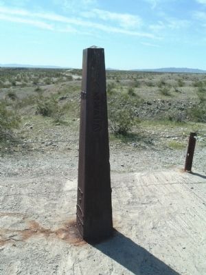
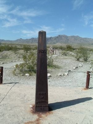
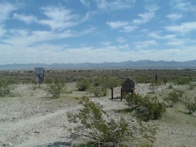
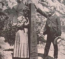
Von Schmidt State Boundary Monument
Erected 1974 by Needles Chapter San Bernadino County Museum Association and California, Arizona and Nevada Development Association "Can Do". (Marker Number 188.)
Topics. This historical marker and monument is listed in this topic list: Political Subdivisions. A significant historical year for this entry is 1876.
Location. 35° 0.855′ N, 114° 39.709′ W. Marker is near Needles, California, in San Bernardino County. Marker is on Needles Highway, 0.1 miles south of Aha Macav Parkway, on the right when traveling north. Touch for map. Marker is in this post office area: Needles CA 92363, United States of America. Touch for directions.
Other nearby markers. At least 8 other markers are within 7 miles of this marker, measured as the crow flies. A different marker also named Von Schmidt State Boundary Monument (a few steps from this marker); History of the Fort Mojave Tribe (approx. 1.1 miles away in Nevada); Oatman (approx. 4.9 miles away in Arizona); Arizona Veterans Memorial (approx. 5.7 miles away in Arizona); In Memory of All Vietnam Veterans (approx. 5.7 miles away in Arizona); 9/11 Arizona Heroes Memorial (approx. 5.7 miles away in Arizona); Arizona Medal of Honor (approx. 5.7 miles away in Arizona); The Garcés Expedition (approx. 6.4 miles away in Nevada).
More about this monument. This Nevada Historical Landmark marker is actually located in California.
This site was also designated as California Registered Historical Landmark No.859 on April 26, 1973.
Also see . . .
1. "The Colorful History of the California/Nevada State Boundary", by John P. Wilusz, LS, PE (PDF). In June of 1872, Congress authorized another survey of the common boundary between California and Nevada. GLO Commissioner Willis Drummond hired astronomer and surveyor Alexey W. Von Schmidt to do the field work. A sum of more than $41,000 was appropriated for the survey. Mafiadoc entry (Submitted on April 5, 2010.)
2. Alexey W. Von Schmidt. Wikipedia biography. (Submitted on September 17, 2020, by Larry Gertner of New York, New York.)
Credits. This page was last revised on September 17, 2020. It was originally submitted on April 4, 2010, by Bill Kirchner of Tucson, Arizona. This page has been viewed 1,933 times since then and 48 times this year. Photos: 1, 2, 3, 4, 5. submitted on April 4, 2010, by Bill Kirchner of Tucson, Arizona. 6. submitted on September 17, 2020, by Larry Gertner of New York, New York. • Syd Whittle was the editor who published this page.
