Kennard in Houston County, Texas — The American South (West South Central)
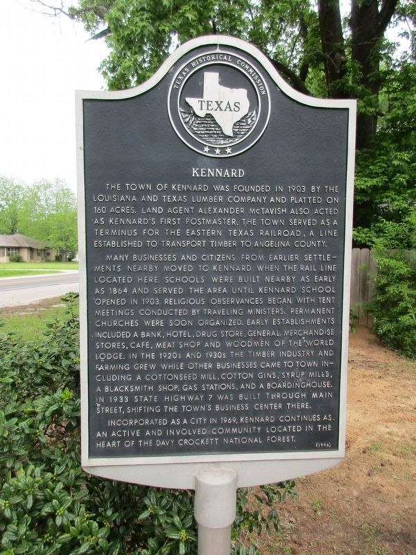
Kennard
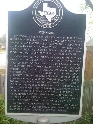
Many businesses and citizens from earlier settlements nearby moved to Kennard when the rail line located here. Schools were built nearby as early as 1864 and served the area until Kennard School opened in 1903. Religious observances began with tent meetings conducted by traveling ministers. Permanent churches were soon organized. Early establishments included a bank, hotel, drug store, general merchandise stores, cafe, meat shop and Woodmen of the World lodge. In the 1920s and 1930s the timber industry and farming grew while other businesses came to town including a cottonseed mill, cotton gins, syrup mills, a blacksmith shop, gas stations, and a boardinghouse. In 1933 State Highway 7 was built through Main Street, shifting the town's business center there.
Incorporated as a city in 1969, Kennard continues as an active and involved community located in the heart of the Davy Crockett National Forest.
Erected 1996. (Marker Number 7051.)
Topics. This historical marker is listed in these topic lists: Churches & Religion • Education • Horticulture & Forestry • Industry & Commerce • Settlements & Settlers. A significant historical year for this entry is 1903.
Location. 31° 21.593′ N, 95° 10.93′ W. Marker is in Kennard, Texas, in Houston County. Marker is at the intersection of State Highway 7 and Main Street (Farm to Market Road 357), on the left when traveling west on State Highway 7. Touch for map. Marker is in this post office area: Kennard TX 75847, United States of America. Touch for directions.
Other nearby markers. At least 8 other markers are within 9 miles of this marker, measured as the crow flies. First Baptist Church of Kennard (within shouting distance of this marker); Former Rosenwald School (approx. 0.2 miles away); Hagerville Community (approx. 1.3 miles away); Community of Coltharp (approx. 1.3 miles away); Four C Mill (approx. 2.8 miles away); Ratcliff (approx. 3.3 miles away); Ratcliff CCC Camp (approx. 3.4 miles away); Stanton Cemetery (approx. 9 miles away). Touch for a list and map of all markers in Kennard.
Credits. This page was last revised on April 25, 2023. It was originally submitted on April 6, 2010, by Steve Gustafson of Lufkin, Texas. This page has been viewed 1,205 times since then and 70 times this year. Photos: 1. submitted on April 24, 2023, by Jeff Leichsenring of Garland, Texas. 2, 3. submitted on April 6, 2010, by Steve Gustafson of Lufkin, Texas. • Kevin W. was the editor who published this page.


